
Ripley, town in West Virginia
Location: Jackson County
Elevation above the sea: 187 m
GPS coordinates: 38.82111,-81.71417
Latest update: March 21, 2025 06:27

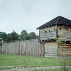
Fort Randolph
35.4 km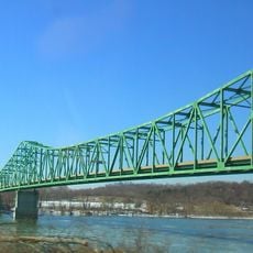
Ravenswood Bridge
13.4 km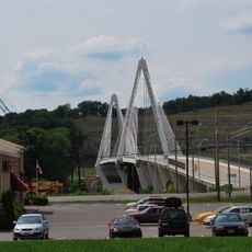
Pomeroy–Mason Bridge
35.5 km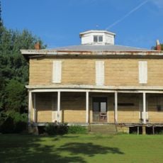
Gen. John McCausland House
28.8 km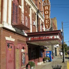
Robey Theatre, Spencer
33.1 km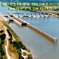
Belleville Lock and Dam
33.2 km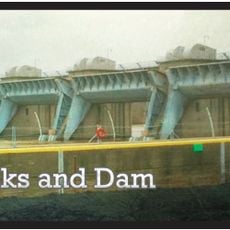
Racine Lock and Dam
20 km
Staats Mill Covered Bridge
3.8 km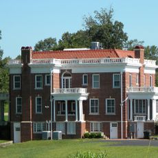
Albert S. Heck Mansion
29.9 km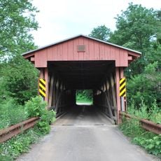
Sarvis Fork Covered Bridge
12.7 km
Putnam County Courthouse
35.5 km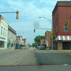
Ravenswood "Old Town" Historic District
14.7 km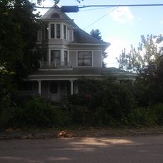
The Gold Houses
35.2 km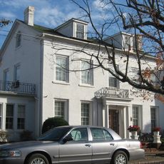
John Downing, Jr., House
35.3 km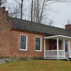
James W. Hoge House
35.5 km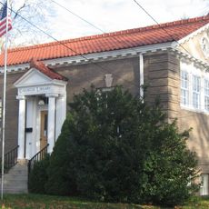
Middleport Public Library
35.3 km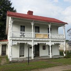
Shumaker-Lewis House
35.2 km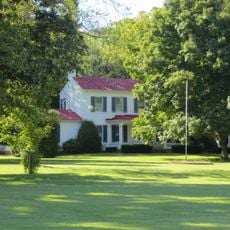
Couch-Artrip House
25.6 km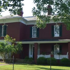
Clerc-Carson House
963 m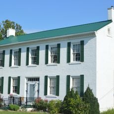
Armstrong House
125 m
Powell-Redmond House
34.6 km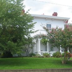
Lemley-Wood-Sayer House
14.7 km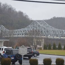
Winfield Toll Bridge
35.7 km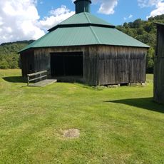
Rankin Octagonal Barn
14 km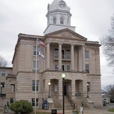
Ripley Historic District
409 m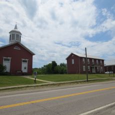
Buffalo Town Square Historic District
32.4 km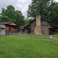
West Virginia State Farm Museum
34.4 km
Old Meigs County Courthouse
34.8 kmVisited this place? Tap the stars to rate it and share your experience / photos with the community! Try now! You can cancel it anytime.
Discover hidden gems everywhere you go!
From secret cafés to breathtaking viewpoints, skip the crowded tourist spots and find places that match your style. Our app makes it easy with voice search, smart filtering, route optimization, and insider tips from travelers worldwide. Download now for the complete mobile experience.

A unique approach to discovering new places❞
— Le Figaro
All the places worth exploring❞
— France Info
A tailor-made excursion in just a few clicks❞
— 20 Minutes