
Glocester, town in Rhode Island
Location: Providence County
Inception: February 20, 1731
Elevation above the sea: 139 m
Website: http://glocesterri.org
GPS coordinates: 41.89083,-71.69056
Latest update: March 9, 2025 17:04
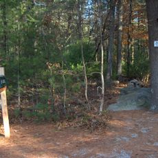
Jerimoth Hill
8.7 km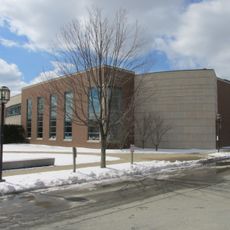
Chace Athletic Center
12.9 km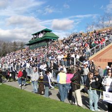
Beirne Stadium
13.1 km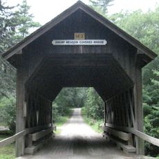
Swamp Meadow Bridge
10.7 km
Quaddick State Park
12.4 km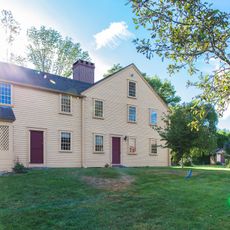
Smith-Appleby House
14.3 km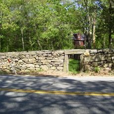
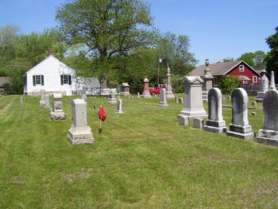
Glocester Town Pound
1.8 km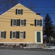
Smithfield Exchange Bank
11.5 km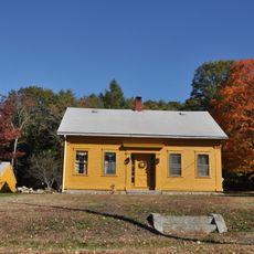
Clayville Historic District
12.7 km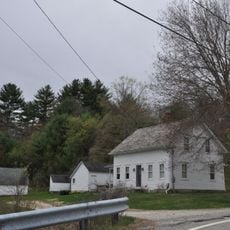
Hopkins Mill Historic District
7.7 km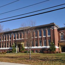
Pascoag Grammar School
8.1 km
Daniel's Village Archeological Site
13.3 km
Bridgeton School
8.4 km
Moses Taft House
8.7 km
Waterman-Winsor Farm
10.7 km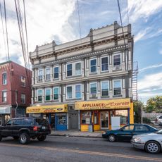
Josephine White Block
10.5 km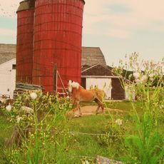
Brown Avenue Historic District
13.4 km
William Mowry House
12.6 km
Stephen Winsor House
9.6 km
Dexter Arnold Farmstead
8.6 km
Cornell-Randall-Bailey Roadhouse
12.8 km
Eddy Homestead
13.4 km
Amos Cooke House
9.5 km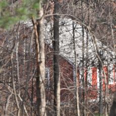
Esten-Bowen House
13.4 km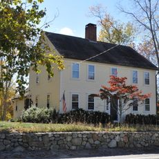
Battey-Barden House
12.5 km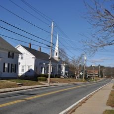
Harrisville Historic District
8.5 km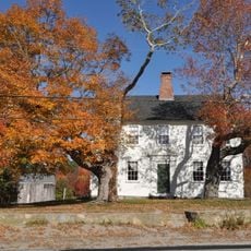
Manton-Hunt-Farnum Farm
5.8 km
Foster Center Historic District
12 kmVisited this place? Tap the stars to rate it and share your experience / photos with the community! Try now! You can cancel it anytime.
Discover hidden gems everywhere you go!
From secret cafés to breathtaking viewpoints, skip the crowded tourist spots and find places that match your style. Our app makes it easy with voice search, smart filtering, route optimization, and insider tips from travelers worldwide. Download now for the complete mobile experience.

A unique approach to discovering new places❞
— Le Figaro
All the places worth exploring❞
— France Info
A tailor-made excursion in just a few clicks❞
— 20 Minutes