
Middlefield, town in Connecticut, USA
Location: Lower Connecticut River Valley Planning Region
Location: Middlesex County
Inception: 1866
Elevation above the sea: 64 m
Website: http://www.munic.state.ct.us/MIDDLEFIELD/middlefield.htm
Website: http://munic.state.ct.us/MIDDLEFIELD/middlefield.htm
GPS coordinates: 41.51750,-72.71222
Latest update: May 2, 2025 13:53

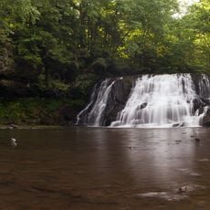
Wadsworth Falls State Park
3.6 km
Wadsworth Mansion at Long Hill
4.2 km
Higby Mountain
4.5 km
Samuel Wadsworth Russell House
6.7 km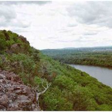
Chauncey Peak
6 km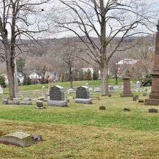
Indian Hill Cemetery
5.9 km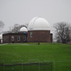
Van Vleck Observatory
6.1 km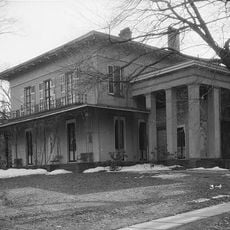
Richard Alsop IV House
6.5 km
Wilcox, Crittenden Mill
6.3 km
Plumb House
5.2 km
Middletown Alms House
6.1 km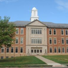
Middletown Woodrow Wilson High School
5.8 km
Old Middletown High School
6.7 km
Main Street Historic District
5.5 km
Xi Chapter, Psi Upsilon Fraternity
6.5 km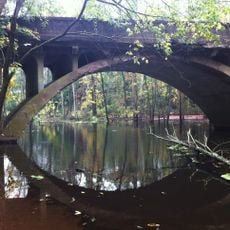
Arrawanna Bridge
6.3 km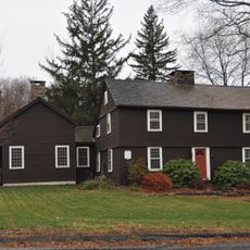
William Ward Jr. House
2.3 km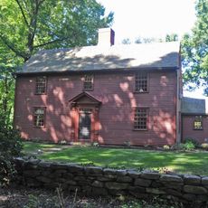
Nehemiah Hubbard House
3.5 km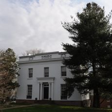
Edward Augustus Russell House
6.6 km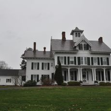
David Lyman II House
2.4 km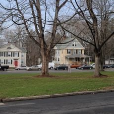
Washington Street Historic District
6.6 km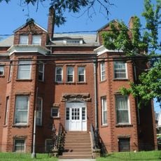
Saint Luke's Home for Destitute and Aged Women
6.7 km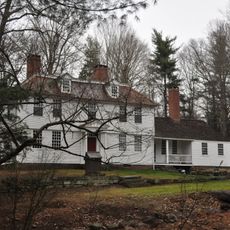
Thomas Lyman House
4.4 km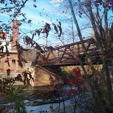
Starr Mill Road Bridge
4.6 km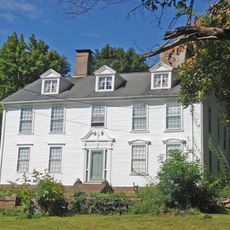
Seth Wetmore House
4.4 km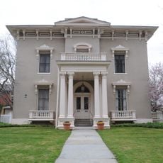
Coite-Hubbard House
6.5 km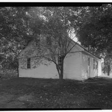
Joseph Blakeslee House
6.2 km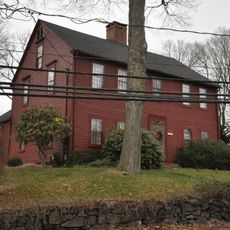
Ives-Baldwin House
5.1 kmReviews
Visited this place? Tap the stars to rate it and share your experience / photos with the community! Try now! You can cancel it anytime.
Discover hidden gems everywhere you go!
From secret cafés to breathtaking viewpoints, skip the crowded tourist spots and find places that match your style. Our app makes it easy with voice search, smart filtering, route optimization, and insider tips from travelers worldwide. Download now for the complete mobile experience.

A unique approach to discovering new places❞
— Le Figaro
All the places worth exploring❞
— France Info
A tailor-made excursion in just a few clicks❞
— 20 Minutes