Chippewa River, River system in Wisconsin and Michigan, United States.
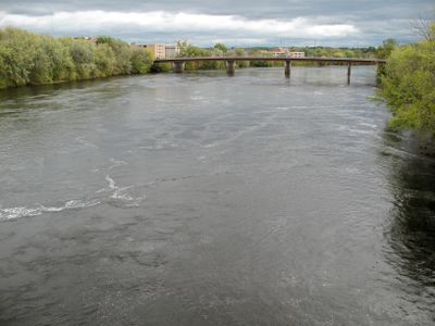
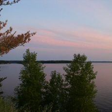
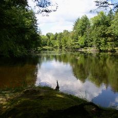
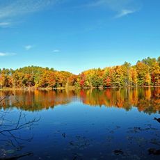
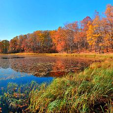
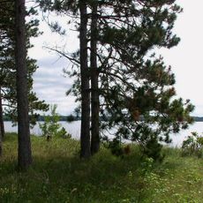
The Chippewa River is a waterway that flows roughly 180 miles through Wisconsin and Michigan before meeting the Mississippi River. Along its course, the river creates several lakes and flowages that shape the landscape of the region.
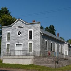
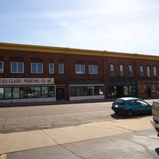
The river system became a major logging corridor during the 1800s, with numerous sawmills built along its banks to process timber. This industrial activity shaped the growth of towns and settlements throughout the valley.
The Ojibwe people relied on this waterway as a central travel and trade corridor for centuries. Local communities still recognize this heritage through place names and stories passed down through generations.
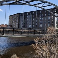
The Chippewa River State Trail provides numerous access points for visitors traveling between Eau Claire and Durand along the waterway. Multiple pullout areas and overlooks give visitors opportunities to view the river and enjoy outdoor recreation.
As the river approaches the Mississippi, sediment buildup creates a natural delta formation that helped shape the landscape where the waters meet. This natural process continues to influence the waterscape and wildlife habitat at the confluence.
The community of curious travelers
AroundUs brings together thousands of curated places, local tips, and hidden gems, enriched daily by 60,000 contributors worldwide.