
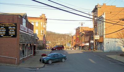
West Union, town in West Virginia, USA
Location: Doddridge County
Elevation above the sea: 240 m
Website: http://westunion-wv.com
GPS coordinates: 39.29560,-80.77580
Latest update: April 15, 2025 05:24
Jackson's Mill
34.7 km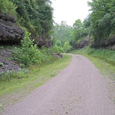
North Bend Rail Trail
16.8 km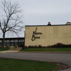
North Bend State Park
30 km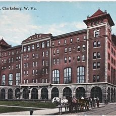
Waldo Hotel
37.6 km
Watters Smith Memorial State Park
34.6 km
Jackson's Mill State 4-H Camp Historic District
34.3 km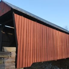
Center Point Covered Bridge
16 km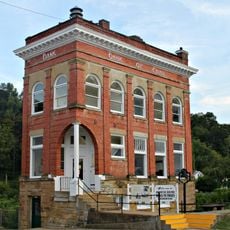
Bank of Cairo
34.2 km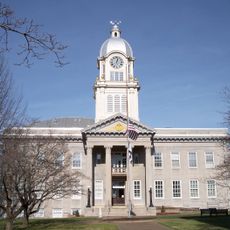
Ritchie County Courthouse
25.6 km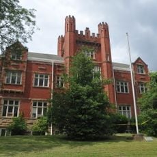
Salem College Administration Building
18 km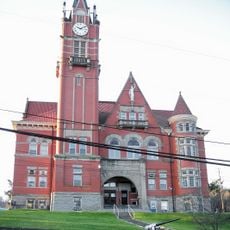
Doddridge County Courthouse
197 m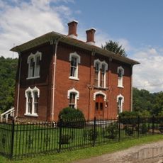
Lathrop Russell Charter House
280 m
E. A. Durham House
34.4 km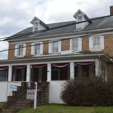
Old Stone House
17 km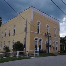
Silas P. Smith Opera House
201 m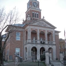
Tyler County Courthouse and Jail
24.5 km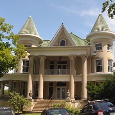
W. Scott Stuart House
224 m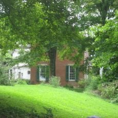
Wells-Schaff House
35.2 km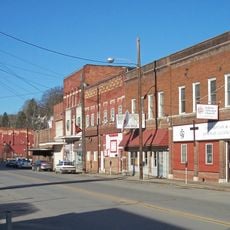
Salem Historic District
18.7 km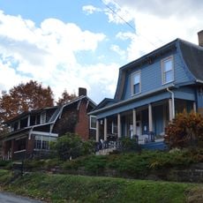
West Union Residential Historic District
278 m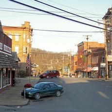
West Union Downtown Historic District
109 m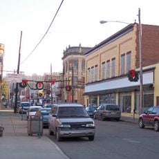
Sistersville Historic District
35.5 km
Harrisville Historic District (Harrisville, West Virginia)
25.7 km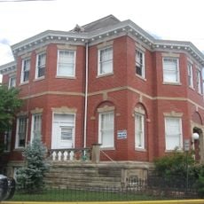
Sistersville City Hall
35.5 km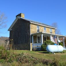
William Wells House
16 km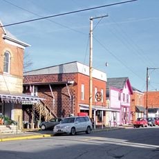
Middlebourne Historic District
24.8 km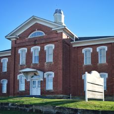
Harrisville Grade School
25.8 km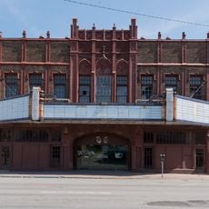
Rose Garden Theatre
37.4 kmVisited this place? Tap the stars to rate it and share your experience / photos with the community! Try now! You can cancel it anytime.
Discover hidden gems everywhere you go!
From secret cafés to breathtaking viewpoints, skip the crowded tourist spots and find places that match your style. Our app makes it easy with voice search, smart filtering, route optimization, and insider tips from travelers worldwide. Download now for the complete mobile experience.

A unique approach to discovering new places❞
— Le Figaro
All the places worth exploring❞
— France Info
A tailor-made excursion in just a few clicks❞
— 20 Minutes