Enable Location

We need your location to show you interesting places around you

Discover nearby places

Find interesting locations and hidden gems around you

Precise directions

Get accurate directions and distances to places

Your location is never shared with other users. It's only used when you tap the location button.

Doddridge County

Log in to your account

Start exploring — it's free

Trusted by 62,504 travelers worldwide

Continue with Google
Continue with Apple
or

We will send you a code to connect

By continuing, you accept our Terms and Conditions and our Privacy Policy

Check your inbox

We've sent a pincode in your inbox. Please enter the code below.

Doddridge County, County in West Virginia, United States

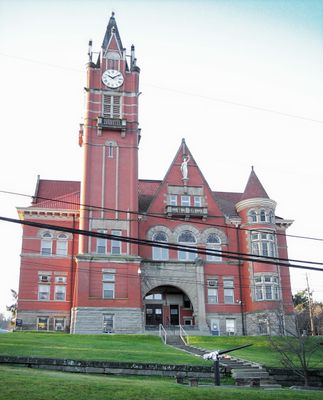
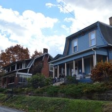
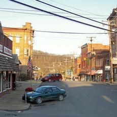
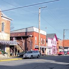
Doddridge County is an administrative division in north-central West Virginia with rolling terrain, forested areas, and scattered communities. West Union serves as the county seat and community hub.

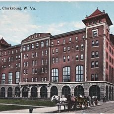
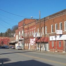
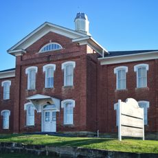
The territory was established as a county in 1845 from parts of neighboring counties and grew as a manufacturing hub. Oil discovery in the late 1800s brought major economic shifts to the region.

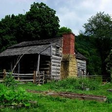
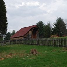
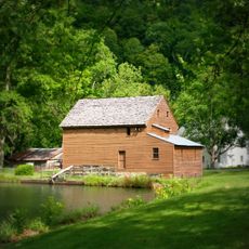
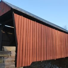
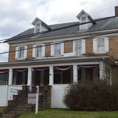
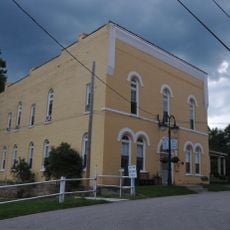
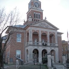
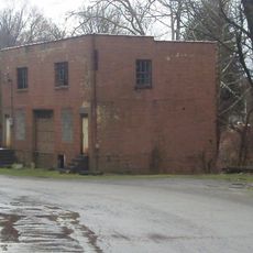
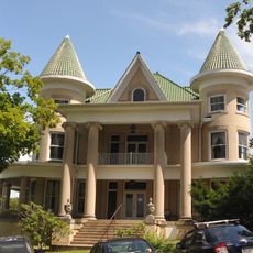
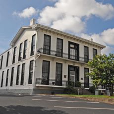
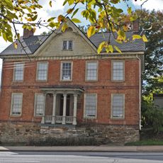
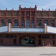
The glass manufacturing heritage shapes how residents view their region's working past. Walking through the older areas, you can still see buildings and structures that reflect the industrial trades that supported local families.

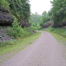
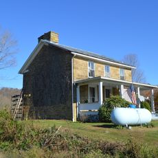
Visiting is possible year-round, though warmer months offer better conditions for exploring. Local roads are adequate for regular travel, though weather can affect access to some areas.

The oil deposits near Center Point opened new economic paths for the region and linked it to Pennsylvania's industry. This connection made the area an early energy production center in the Appalachian region.

The community of curious travelers

AroundUs brings together thousands of curated places, local tips, and hidden gems, enriched daily by 60,000 contributors worldwide.

Start exploring
Location
Inception
February 4, 1845
Capital city
West Union
Shares border with
Wetzel County, Harrison County, Lewis County, Gilmer County, Ritchie County, Tyler County
GPS coordinates
39.26000,-80.70000
Latest update
December 7, 2025 20:25
Around this place
Jackson's Mill
United States of America

Jackson's Mill

27.2 km
North Bend Rail Trail
United States of America

North Bend Rail Trail

23.5 km
Waldo Hotel
United States of America

Waldo Hotel

31.1 km
Watters Smith Memorial State Park
United States of America

Watters Smith Memorial State Park

27.1 km
Waldomore
United States of America

Waldomore

31.1 km
Jackson's Mill State 4-H Camp Historic District
United States of America

Jackson's Mill State 4-H Camp Historic District

26.8 km
Clarksburg Downtown Historic District
United States of America

Clarksburg Downtown Historic District

31.2 km
Center Point Covered Bridge
United States of America

Center Point Covered Bridge

15.5 km
Ritchie County Courthouse
United States of America

Ritchie County Courthouse

30.8 km
Salem College Administration Building
United States of America

Salem College Administration Building

11.7 km
Doddridge County Courthouse
United States of America

Doddridge County Courthouse

7.5 km
Lathrop Russell Charter House
United States of America

Lathrop Russell Charter House

7.4 km
Old Stone House
United States of America

Old Stone House

23.6 km
Silas P. Smith Opera House
United States of America

Silas P. Smith Opera House

7.5 km
Tyler County Courthouse and Jail
United States of America

Tyler County Courthouse and Jail

31.2 km
Glen Elk Historic District
United States of America

Glen Elk Historic District

31.2 km
W. Scott Stuart House
United States of America

W. Scott Stuart House

7.4 km
Quality Hill Historic District
United States of America

Quality Hill Historic District

31.8 km
Trinity Memorial Methodist Episcopal Church
United States of America

Trinity Memorial Methodist Episcopal Church

31.4 km
Stealey-Goff-Vance House
United States of America

Stealey-Goff-Vance House

31.5 km
Salem Historic District
United States of America

Salem Historic District

12.4 km
West Union Residential Historic District
United States of America

West Union Residential Historic District

7.5 km
West Union Downtown Historic District
United States of America

West Union Downtown Historic District

7.6 km
Harrisville Historic District (Harrisville, West Virginia)
United States of America

Harrisville Historic District (Harrisville, West Virginia)

31 km
William Wells House
United States of America

William Wells House

22.2 km
Middlebourne Historic District
United States of America

Middlebourne Historic District

31.6 km
Harrisville Grade School
United States of America

Harrisville Grade School

31.1 km
Rose Garden Theatre
United States of America

Rose Garden Theatre

30.9 km
Show the full map
« Doddridge County - County in West Virginia, United States » is provided by Around Us (aroundus.com). Images and texts are derived from Wikimedia project under a Creative Commons license. You are allowed to copy, distribute, and modify copies of this page, under the conditions set by the license, as long as this note is clearly visible.

Discover hidden gems everywhere you go!

From secret cafés to breathtaking viewpoints, skip the crowded tourist spots and find places that match your style. Our app makes it easy with voice search, smart filtering, route optimization, and insider tips from travelers worldwide. Download now for the complete mobile experience.

Around Us App Screenshot

A unique approach to discovering new places

Le Figaro

All the places worth exploring

France Info

A tailor-made excursion in just a few clicks

20 Minutes

Around Us
Travel Guide & Maps
Download

Send to your phone

QR Code
1

Open the camera app on your mobile.

2

Point at the QR code with your camera. A notification will appear.

3

Tap the notification to open the link.