
Banning State Park, Minnesota state park in Pine County, United States
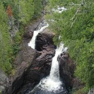
The Kettle River flows through 6,237 acres of land, creating Class IV rapids and flowing past sandstone cliffs within the park boundaries.
The Banning Sandstone Quarry, established in the late 1800s, supplied building materials to construct structures across the upper Midwest until its closure.
Local Indigenous communities utilized the river and surrounding forests for seasonal hunting, fishing, and gathering activities before European settlement.
The park maintains 17 miles of hiking trails, 33 drive-in campsites, and provides access points for kayaking and canoeing along the Kettle River.
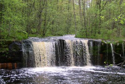
Wolf Creek Falls cascades over multiple tiers of exposed sandstone, creating a natural staircase formation that changes with seasonal water levels.
Location: Pine County
Inception: 1963
Email: banning.statepark@state.mn.us
Website: https://dnr.state.mn.us/state_parks/banning
GPS coordinates: 46.14664,-92.86089
Latest update: May 26, 2025 10:34
Minnesota contains numerous locations away from the main tourist circuits. The state stretches from the shores of Lake Superior to the southern prairies, encompassing historic lighthouses, underground mines, waterfalls, and Japanese gardens. Visitors find both natural landscapes and cultural sites that tell the story of the region's history. Notable locations include prehistoric rock carvings at Jeffers Petroglyphs Site, where indigenous peoples left their marks thousands of years ago, and sacred trees of Ojibwe culture. The geological formation known as Devil's Kettle, a waterfall whose course puzzled scientists for years, attracts visitors interested in natural phenomena. Historic mines provide insight into Minnesota's industrial past, while lighthouses recall the maritime history along the largest of the Great Lakes.
St. Croix State Park
28.8 km
Father Hennepin State Park
48.4 km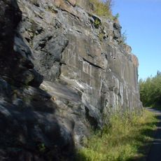
Willard Munger State Trail
34.7 km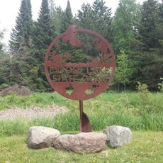
Moose Lake State Park
34.2 km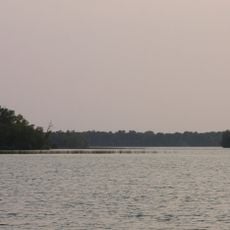
Mille Lacs National Wildlife Refuge
55.2 km
Rice Lake National Wildlife Refuge
56.3 km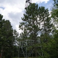
Fond du Lac State Forest
59.3 km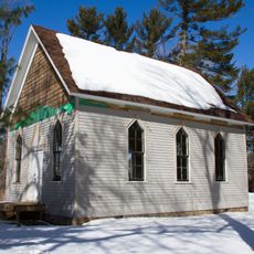
Svenska Mission Kyrka I Sodre Maple Ridge
64.6 km
Church of Sts. Joseph and Mary-Catholic
62.2 km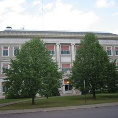
Carlton County Courthouse
66.7 km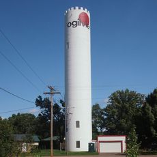
Ogilvie Watertower
56.2 km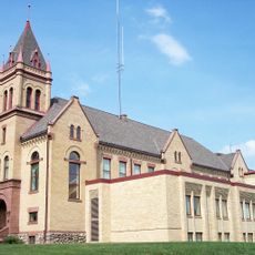
Kanabec County Courthouse
44.9 km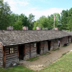
Snake River Fur Post
39.7 km
Goose Creek
61.5 km
Arthyde Stone House
29.1 km
Daniels Town Hall
51.5 km
Hinckley Fire Museum
16 km
Solana State Forest
32.5 km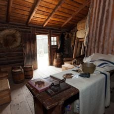
Snake River Fur Post State Historic Site
38.2 km
St. Croix Recreational Demonstration Area
30.2 km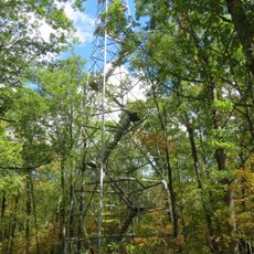
St. Croix State Park Fire Tower
24.3 km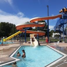
Rush City Aquatic Center
51.9 km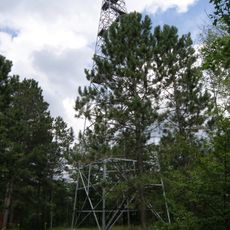
Cromwell Lookout Tower
62.5 km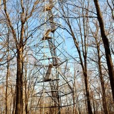
Mille Lacs Kathio Observation Tower
67.5 km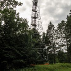
Nickerson Lookout Tower
38.1 km
White Pine Lookout Tower
34.7 km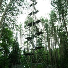
Cloquet Lookout Tower
65.6 km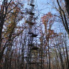
Pomroy Lookout Tower
30.3 kmReviews
Visited this place? Tap the stars to rate it and share your experience / photos with the community! Try now! You can cancel it anytime.
Discover hidden gems everywhere you go!
From secret cafés to breathtaking viewpoints, skip the crowded tourist spots and find places that match your style. Our app makes it easy with voice search, smart filtering, route optimization, and insider tips from travelers worldwide. Download now for the complete mobile experience.

A unique approach to discovering new places❞
— Le Figaro
All the places worth exploring❞
— France Info
A tailor-made excursion in just a few clicks❞
— 20 Minutes