Enable Location

We need your location to show you interesting places around you

Discover nearby places

Find interesting locations and hidden gems around you

Precise directions

Get accurate directions and distances to places

Your location is never shared with other users. It's only used when you tap the location button.

Iron Range

Log in to your account

Start exploring — it's free

Trusted by 64,613 travelers worldwide

Continue with Google
Continue with Apple
or

We will send you a code to connect

By continuing, you accept our Terms and Conditions and our Privacy Policy

Check your inbox

We've sent a pincode in your inbox. Please enter the code below.

Iron Range
Discussion Reviews 1 Photos
58.4k Popularity

Iron Range, Mining region in northern Minnesota, United States.

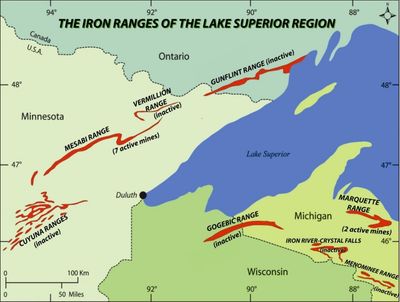
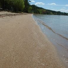
Iron Range covers several elongated mining areas in northern Minnesota, less than 100 miles (160 kilometers) southwest of Lake Superior. Four major iron ore deposits lie here side by side, including Mesabi Range and Vermilion Range, which stretch through forested hills and open pits.

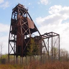
Extraction began in the mid-1800s and turned the sparsely populated woodland into a mining zone. By the mid-20th century, the industry shifted from direct ore harvesting to taconite processing, which further changed the region.

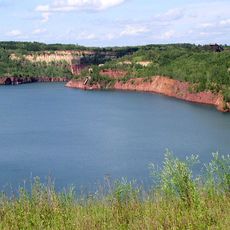
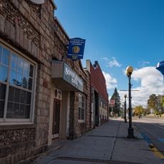
The name comes from the iron-bearing rock layers that run in long strips beneath the surface and shaped the land. Small towns along the route still show worker settlements with simple wooden houses that tell stories of generations whose lives were defined by mining.

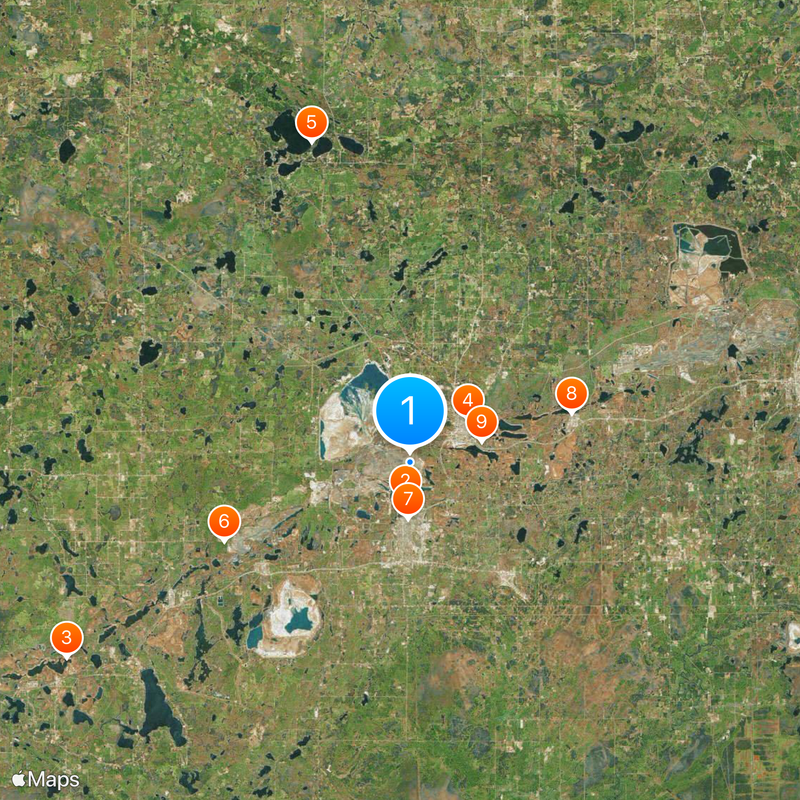
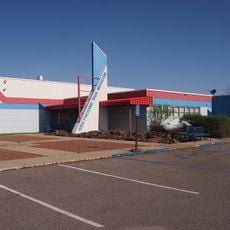
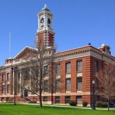
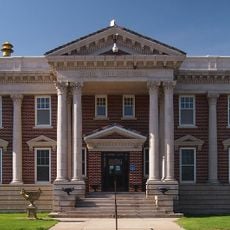
Chisholm offers a center with exhibits on mining history, while Hibbing has a viewpoint overlooking ongoing extraction work. Most towns lie along Route 169, which runs through the entire area and links several former pits.

At Soudan, visitors can enter an underground mine and see how tunnels reach deep into the rock. The highest points in the region rise above 2,228 feet (679 meters) and offer a contrast to the deep pits all around.

The community of curious travelers

AroundUs brings together thousands of curated places, local tips, and hidden gems, enriched daily by 60,000 contributors worldwide.

Start exploring
Location
Elevation above the sea
679 m
GPS coordinates
47.46333,-92.93500
Latest update
December 17, 2025 07:35
Around this place
Greyhound Bus Museum
United States of America

Greyhound Bus Museum

2.8 km
Hill Annex Mine State Park
United States of America

Hill Annex Mine State Park

28.8 km
United States of America

Iron Man

5.2 km
McCarthy Beach State Park
United States of America

McCarthy Beach State Park

24.4 km
United States of America

George Washington State Forest

14.7 km
Hibbing City Hall
United States of America

Hibbing City Hall

4.1 km
Buhl City Hall
United States of America

Buhl City Hall

12.4 km
Bruce Mine Headframe
United States of America

Bruce Mine Headframe

5.5 km
Andrew G. Anderson House
United States of America

Andrew G. Anderson House

4 km
Saints Peter and Paul Church-Ukrainian Catholic
United States of America

Saints Peter and Paul Church-Ukrainian Catholic

4.8 km
Sons of Italy Hall
United States of America

Sons of Italy Hall

4 km
East Howard Street Commercial Historic District
United States of America

East Howard Street Commercial Historic District

4 km
Mitchell–Tappan House
United States of America

Mitchell–Tappan House

4.3 km
Delvic Building
United States of America

Delvic Building

4.1 km
Chisholm Commercial Historic District
United States of America

Chisholm Commercial Historic District

4.9 km
Emmett Butler House
United States of America

Emmett Butler House

4.8 km
United States of America

Buhl Public Library

12.4 km
Minnesota Discovery Center
United States of America

Minnesota Discovery Center

3.4 km
Side Lake Lookout Tower
United States of America

Side Lake Lookout Tower

24.4 km
United States of America

Patrick Stilling Basin

25.3 km
United States of America

Pillsbury Mine Overlook

2.6 km
United States of America

West Two River Reservoir

21.1 km
Hibbing High School
United States of America

Hibbing High School

4.2 km
United States of America

Hanna Mining Company Train Cabose

12.9 km
United States of America

Baldwin 1910 steam locomotive 806

24.8 km
United States of America

Hibbing Mine View

2.3 km
United States of America

Statue, Work of art

5.7 km
United States of America

Scenic viewpoint

24.8 km
Show the full map
Reviews
Share your experience

No review yet

Discussions
Start a discussion...

No discussion yet

« Iron Range - Mining region in northern Minnesota, United States » is provided by Around Us (aroundus.com). Images and texts are derived from Wikimedia project under a Creative Commons license. You are allowed to copy, distribute, and modify copies of this page, under the conditions set by the license, as long as this note is clearly visible.

Discover hidden gems everywhere you go!

From secret cafés to breathtaking viewpoints, skip the crowded tourist spots and find places that match your style. Our app makes it easy with voice search, smart filtering, route optimization, and insider tips from travelers worldwide. Download now for the complete mobile experience.

Around Us App Screenshot

A unique approach to discovering new places

Le Figaro

All the places worth exploring

France Info

A tailor-made excursion in just a few clicks

20 Minutes

Around Us
Travel Guide & Maps
Download

Send to your phone

QR Code
1

Open the camera app on your mobile.

2

Point at the QR code with your camera. A notification will appear.

3

Tap the notification to open the link.