
Blue Mounds State Park, State park in Rock County, Minnesota, United States
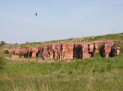
Blue Mounds State Park extends across 1,567 acres of land featuring limestone cliffs, native prairies, and multiple hiking trails through diverse landscapes.
The National Park Service established this protected area in 1937 as part of Minnesota's state park system to preserve natural resources.
The park maintains a resident bison herd, continuing the tradition of these animals that once roamed freely across the Minnesota prairies.
Visitors can access camping facilities, picnic areas, and restrooms throughout the park, with entrance fees varying according to the season.
The park contains quarried limestone cliffs formed during the last glacial period, rising above the surrounding prairie landscape.
Location: Rock County
Inception: 1937
Architects: National Park Service
Website: https://dnr.state.mn.us/state_parks/park.html?id=spk00121
GPS coordinates: 43.71722,-96.18917
Latest update: May 13, 2025 16:18

Minnesota contains numerous locations away from the main tourist circuits. The state stretches from the shores of Lake Superior to the southern prairies, encompassing historic lighthouses, underground mines, waterfalls, and Japanese gardens. Visitors find both natural landscapes and cultural sites that tell the story of the region's history. Notable locations include prehistoric rock carvings at Jeffers Petroglyphs Site, where indigenous peoples left their marks thousands of years ago, and sacred trees of Ojibwe culture. The geological formation known as Devil's Kettle, a waterfall whose course puzzled scientists for years, attracts visitors interested in natural phenomena. Historic mines provide insight into Minnesota's industrial past, while lighthouses recall the maritime history along the largest of the Great Lakes.
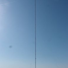
KDLT tower
37.9 km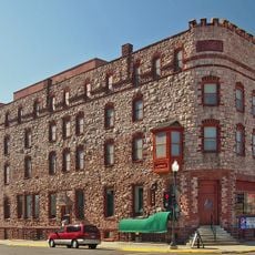
Calumet Hotel
33.2 km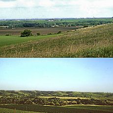
Blood Run Site
42.2 km
Palisades State Park
26.6 km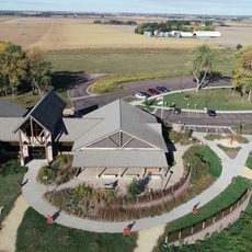
Good Earth State Park
42.3 km
Split Rock Creek State Park
24.5 km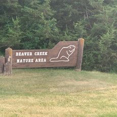
Beaver Creek Nature Area
33.5 km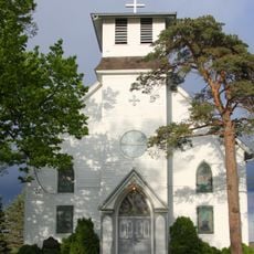
Church of St. Kilian
27 km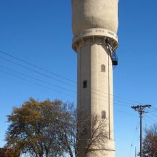
Pipestone Water Tower
33.1 km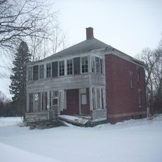
Pipestone Indian School Superintendent's House
35.3 km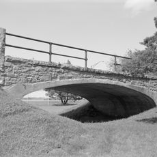
Melan Bridge
31.8 km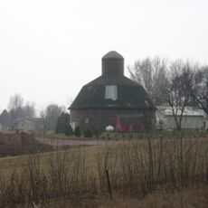
Shafer Round Barn
41.9 km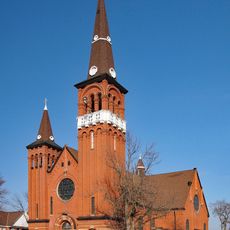
Church of St. Adrian-Catholic
22.7 km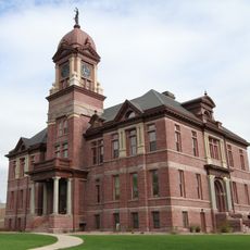
Pipestone County Courthouse
32.8 km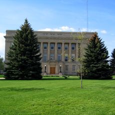
Lyon County Courthouse
32 km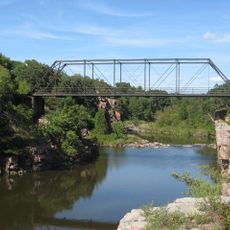
Palisades Bridge
26.7 km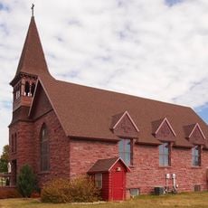
Holy Trinity Church-Episcopal
7.1 km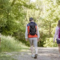
Great Bear Recreation Park
41.1 km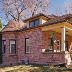
John Rowe House
22.3 km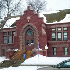
Pipestone Public Library
32.9 km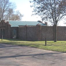
Gina Smith Campbell Bathhouse
42.8 km
Gitchie Manitou State Preserve
40.8 km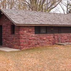
Blue Mounds State Park WPA/Rustic Style Historic Resources
280 m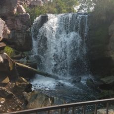
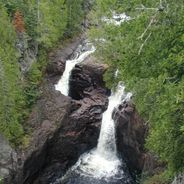
Winnewissa Falls
34.8 km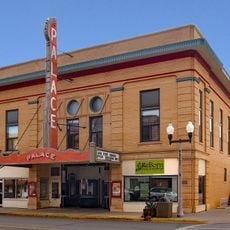
Palace Theatre
7.2 km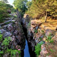
Devil's Gulch Park
24.7 km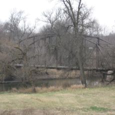
Bridge at Iverson Crossing
39.2 km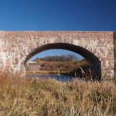
Split Rock Bridge
24.1 kmReviews
Visited this place? Tap the stars to rate it and share your experience / photos with the community! Try now! You can cancel it anytime.
Discover hidden gems everywhere you go!
From secret cafés to breathtaking viewpoints, skip the crowded tourist spots and find places that match your style. Our app makes it easy with voice search, smart filtering, route optimization, and insider tips from travelers worldwide. Download now for the complete mobile experience.

A unique approach to discovering new places❞
— Le Figaro
All the places worth exploring❞
— France Info
A tailor-made excursion in just a few clicks❞
— 20 Minutes