Enable Location

We need your location to show you interesting places around you

Discover nearby places

Find interesting locations and hidden gems around you

Precise directions

Get accurate directions and distances to places

Your location is never shared with other users. It's only used when you tap the location button.

Pearl River

Log in to your account

Start exploring — it's free

Trusted by 64,790 travelers worldwide

Continue with Google
Continue with Apple
or

We will send you a code to connect

By continuing, you accept our Terms and Conditions and our Privacy Policy

Check your inbox

We've sent a pincode in your inbox. Please enter the code below.

Discussion Reviews 1 Photos
35.6k Popularity

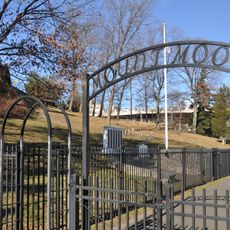
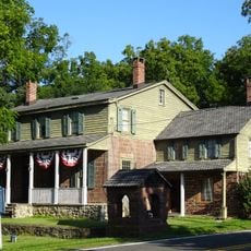
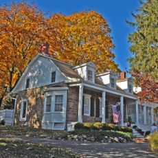
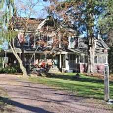
Pearl River, Community settlement in Rockland County, New York.

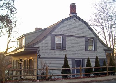
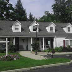
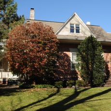
Pearl River is an unincorporated community in Rockland County, New York, featuring a mix of residential neighborhoods, parks, and commercial areas. The area sits at approximately 73 meters elevation and integrates local infrastructure with open spaces.

The area emerged in 1872 when Julius Braunsdorf opened the first post office and donated land for railroad access, transforming it from Muddy Creek. This founding established the community as a transportation hub that would shape its growth.

The annual Saint Patrick's Day parade draws visitors and locals to celebrate Irish heritage each year. This event has become central to how the community identifies itself and gathers together.

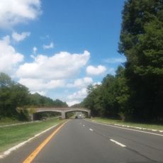
The community sits approximately 20 miles north of Manhattan with direct train and bus connections to major centers. Visitors can easily use these transportation options to explore the area and reach nearby destinations.

Lederle Laboratories, located in this area, produced essential vaccines and blood plasma during World War II. This industrial role made the place a key center for medical supply during those years.

The community of curious travelers

AroundUs brings together thousands of curated places, local tips, and hidden gems, enriched daily by 60,000 contributors worldwide.

Start exploring
Location
Elevation above the sea
73 m
Shares border with
Montvale
GPS coordinates
41.06390,-74.01030
Latest update
December 19, 2025 21:55
Around this place
Palisades Interstate Parkway
United States of America

Palisades Interstate Parkway

2.6 km
Major John Andre Monument
United States of America

Major John Andre Monument

6.6 km
United States of America

Woodcliff Lake Reservoir

5.7 km
Mount Moor African-American Cemetery
United States of America

Mount Moor African-American Cemetery

5.6 km
Wortendyke Barn
United States of America

Wortendyke Barn

4.7 km
Jacob P. Perry House
United States of America

Jacob P. Perry House

2 km
Edward Salyer House
United States of America

Edward Salyer House

1.4 km
Michael Salyer Stone House
United States of America

Michael Salyer Stone House

2.4 km
John G. Ackerson House
United States of America

John G. Ackerson House

4.8 km
Gerrit Haring House
United States of America

Gerrit Haring House

6 km
Frederick Haring House
United States of America

Frederick Haring House

5.8 km
Terneur-Hutton House
United States of America

Terneur-Hutton House

3.8 km
Haring-DeWolf House
United States of America

Haring-DeWolf House

5.1 km
Frederick Wortendyke House
United States of America

Frederick Wortendyke House

6.7 km
Frederick Wortendyke House
United States of America

Frederick Wortendyke House

5.8 km
William Holdrum House
United States of America

William Holdrum House

4.6 km
Eckerson House
United States of America

Eckerson House

4.9 km
Peter P. Post House
United States of America

Peter P. Post House

6.1 km
Forshee-Van Orden House
United States of America

Forshee-Van Orden House

4 km
Peter D. Perry House
United States of America

Peter D. Perry House

5.2 km
Blauvelt-Demarest House
United States of America

Blauvelt-Demarest House

6.9 km
Teunis Haring House
United States of America

Teunis Haring House

6 km
Holdrum-Van Houten House
United States of America

Holdrum-Van Houten House

3.7 km
Lake Tappan
United States of America

Lake Tappan

3.4 km
United States of America

Nanuet Mall Theater

3.8 km
United States of America

UA Spring Valley Marketplace

4.9 km
United States of America

Broadacres Golf Club

3.9 km
United States of America

Old Tappan Golf Club

5.1 km
Show the full map
Reviews
Share your experience

No review yet

Discussions
Start a discussion...

No discussion yet

« Pearl River - Community settlement in Rockland County, New York » is provided by Around Us (aroundus.com). Images and texts are derived from Wikimedia project under a Creative Commons license. You are allowed to copy, distribute, and modify copies of this page, under the conditions set by the license, as long as this note is clearly visible.

Discover hidden gems everywhere you go!

From secret cafés to breathtaking viewpoints, skip the crowded tourist spots and find places that match your style. Our app makes it easy with voice search, smart filtering, route optimization, and insider tips from travelers worldwide. Download now for the complete mobile experience.

Around Us App Screenshot

A unique approach to discovering new places

Le Figaro

All the places worth exploring

France Info

A tailor-made excursion in just a few clicks

20 Minutes

Around Us
Travel Guide & Maps
Download

Send to your phone

QR Code
1

Open the camera app on your mobile.

2

Point at the QR code with your camera. A notification will appear.

3

Tap the notification to open the link.