Enable Location

We need your location to show you interesting places around you

Discover nearby places

Find interesting locations and hidden gems around you

Precise directions

Get accurate directions and distances to places

Your location is never shared with other users. It's only used when you tap the location button.

Palisades Interstate Parkway

Log in to your account

Join the adventure

Create your free account and start exploring (like 60k+ others)

We will send you a code to connect

or
Continue with Google
Continue with Apple
By continuing, you accept our Terms and Conditions and our Privacy Policy

Check your inbox

We've sent a pincode in your inbox. Please enter the code below.

Palisades Interstate Parkway, Limited-access parkway in Bergen County, United States.

Description

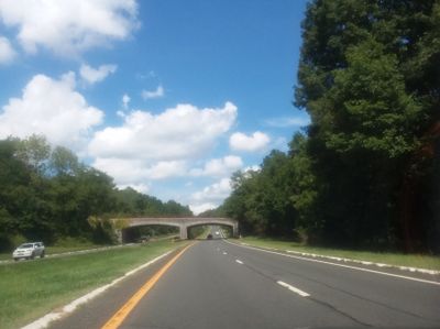
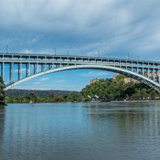
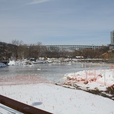
The Palisades Interstate Parkway is a limited-access road that runs for 42 miles between the George Washington Bridge and Bear Mountain Bridge along the Hudson River. It connects New York and New Jersey through terrain shaped by towering cliffs and forested slopes.

History

The parkway was completed in 1958 and represented a major engineering effort to connect the two states through challenging terrain. Its construction required careful planning to work around the natural cliffs and rock formations of the Hudson Valley.

Culture

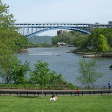
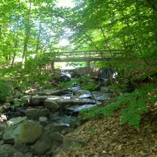
The road includes multiple scenic overlooks and rest areas where travelers can step out and view the rock formations of the Hudson River Valley. These stopping points became places where visitors naturally pause to take in the landscape.

Practical

Trucks and commercial vehicles are not permitted on this road, and speed limits remain steady between 45 and 50 miles per hour throughout the drive. Plan extra time if you want to drive at a relaxed pace and stop at the overlooks.

Did you know?

The road's construction follows the natural contours of the land using local stone materials and native vegetation in its building methods. This approach makes the drive visually engaging as the road adapts to the landscape rather than dominating it.

Location
Location
Location
Inception
1958
GPS coordinates
41.07700,-73.98400
Latest update
December 20, 2025 11:25

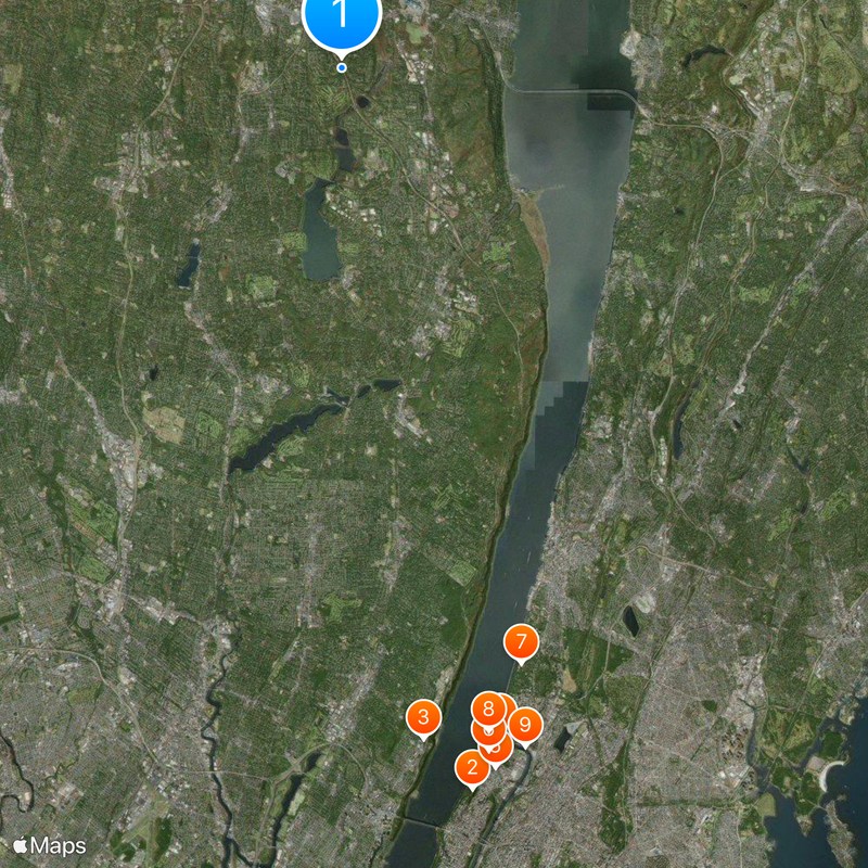
AroundUs brings together thousands of curated places, local tips, and hidden gems, enriched daily by 60,000 contributors worldwide. Discover all places nearby (Bergen County).

Around this place
Fort Tryon Park
United States of America

Fort Tryon Park

24.5 km
Van Gelder Studio
United States of America

Van Gelder Studio

22.5 km
Henry Hudson Bridge
United States of America

Henry Hudson Bridge

22.8 km
Dyckman House
United States of America

Dyckman House

23.9 km
Inwood Hill Park
United States of America

Inwood Hill Park

23.3 km
Wave Hill
United States of America

Wave Hill

20.7 km
Spuyten Duyvil Bridge
United States of America

Spuyten Duyvil Bridge

22.7 km
Broadway Bridge
United States of America

Broadway Bridge

23.5 km
The Cloisters
United States of America

The Cloisters

24 km
University Heights Bridge
United States of America

University Heights Bridge

24.5 km
Seaman-Drake Arch
United States of America

Seaman-Drake Arch

23.7 km
Armstrong Tower
United States of America

Armstrong Tower

13.9 km
Columbia Soccer Stadium
United States of America

Columbia Soccer Stadium

23.5 km
Henry Hudson Park
United States of America

Henry Hudson Park

22.4 km
Elizabeth Cady Stanton House
United States of America

Elizabeth Cady Stanton House

17 km
Muscota Marsh
United States of America

Muscota Marsh

23.3 km
Our Lady Queen of Martyrs Church
United States of America

Our Lady Queen of Martyrs Church

24.2 km
Substation 17
United States of America

Substation 17

24.6 km
Robert Colgate House
United States of America

Robert Colgate House

20.4 km
Flat Rock Brook Nature Center
United States of America

Flat Rock Brook Nature Center

22.3 km
William E. Dodge House
United States of America

William E. Dodge House

21.1 km
United States of America

Park Terrace West-West 217th Street Historic District

23.6 km
Church of the Holy Communion
United States of America

Church of the Holy Communion

9.3 km
Terhune House
United States of America

Terhune House

9.1 km
Presbyterian Church of Norwood
United States of America

Presbyterian Church of Norwood

9 km
Benjamin P. Westervelt House
United States of America

Benjamin P. Westervelt House

15.1 km
Peter Huyler House
United States of America

Peter Huyler House

15.9 km
Abraham A. Haring House
United States of America

Abraham A. Haring House

9.9 km
Show the full map
« Palisades Interstate Parkway - Limited-access parkway in Bergen County, United States » is provided by Around Us (aroundus.com). Images and texts are derived from Wikimedia project under a Creative Commons license. You are allowed to copy, distribute, and modify copies of this page, under the conditions set by the license, as long as this note is clearly visible.

Discover hidden gems everywhere you go!

From secret cafés to breathtaking viewpoints, skip the crowded tourist spots and find places that match your style. Our app makes it easy with voice search, smart filtering, route optimization, and insider tips from travelers worldwide. Download now for the complete mobile experience.

Around Us App Screenshot

A unique approach to discovering new places

Le Figaro

All the places worth exploring

France Info

A tailor-made excursion in just a few clicks

20 Minutes

Around Us
Travel Guide & Maps
Download

Send to your phone

QR Code
1

Open the camera app on your mobile.

2

Point at the QR code with your camera. A notification will appear.

3

Tap the notification to open the link.