
West Bath, human settlement in Sagadahoc County, Maine, United States of America
Location: Sagadahoc County
Elevation above the sea: 0 m
GPS coordinates: 43.87167,-69.85889
Latest update: April 10, 2025 22:37

Bowdoin College Museum of Art
9.3 km
Maine Maritime Museum
4.2 km
Pennellville Historic District
8.3 km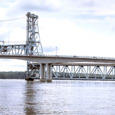
Sagadahoc Bridge
6.1 km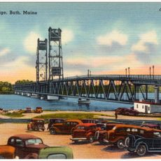
Carlton Bridge
6 km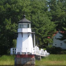
Doubling Point Light
4.4 km
Peary–MacMillan Arctic Museum
9.3 km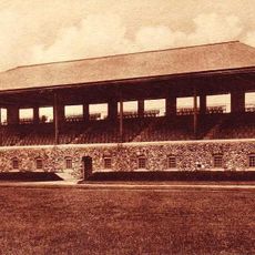
Whittier Field
8.7 km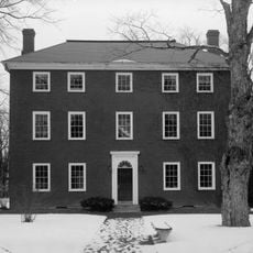
Massachusetts Hall
9.3 km
Squirrel Point Light
7.6 km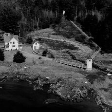
Doubling Point Range Lights
5.2 km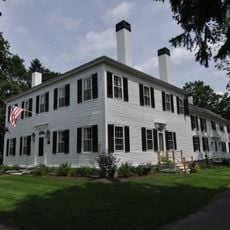
Parker Cleaveland House
9.2 km
Fiddler's Reach Fog Signal
4.9 km
Hyde Mansion
4.7 km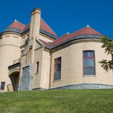
Patten Free Library
6 km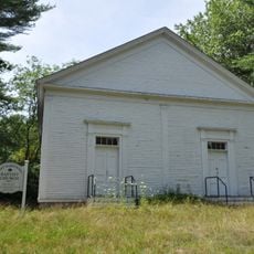
East Harpswell Free Will Baptist Church
4.6 km
John E.L. Huse Memorial School
5.4 km
Days Ferry Historic District
9.3 km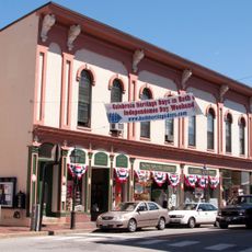
Bath Historic District
6.2 km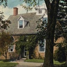
Gov. William King House
7.4 km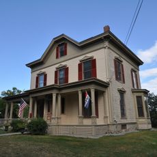
William T. Donnell House
4.2 km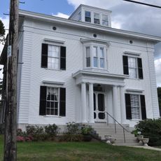
Captain Merritt House
5 km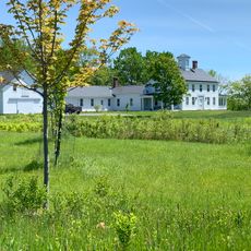
James Pennell Mansion
8.2 km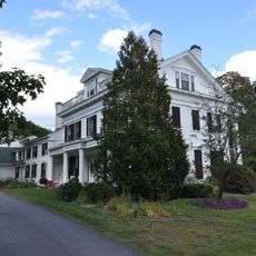
W.D. Crooker House
5.1 km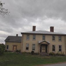
Randall-Hildreth House
9.1 km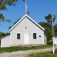
Mill Cove School
1.2 km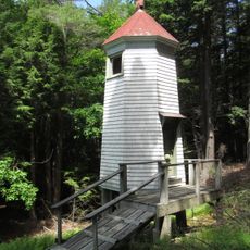
Doubling Point Rear Range Light
5.3 km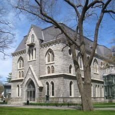
Pickard Theater
9.3 kmVisited this place? Tap the stars to rate it and share your experience / photos with the community! Try now! You can cancel it anytime.
Discover hidden gems everywhere you go!
From secret cafés to breathtaking viewpoints, skip the crowded tourist spots and find places that match your style. Our app makes it easy with voice search, smart filtering, route optimization, and insider tips from travelers worldwide. Download now for the complete mobile experience.

A unique approach to discovering new places❞
— Le Figaro
All the places worth exploring❞
— France Info
A tailor-made excursion in just a few clicks❞
— 20 Minutes