
Waterboro, town in Maine
Location: York County
Elevation above the sea: 243 m
GPS coordinates: 43.53564,-70.71506
Latest update: April 6, 2025 06:11


Alfred Shaker Historic District
4.1 km
Willowbrook Museum Village
17.3 km
Sanford Mills Historic District
11.6 km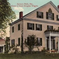
Kate Douglas Wiggin House
14.6 km
Louis B. Goodall Memorial Library
12 km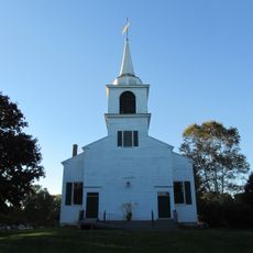
First Congregational Church of Buxton
16.4 km
Sanford (CDP)
11.9 km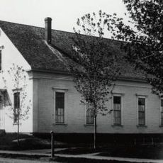
Sanford-Springvale Historic Museum
10.4 km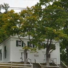
First Baptist Church
1.8 km
Royal Brewster House
16.4 km
Levi Foss House
11.1 km
Salmon Falls (East) Historic District
14.7 km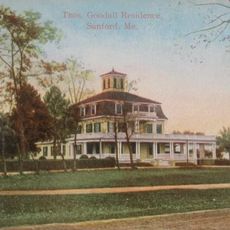
Thomas Goodall House
11.9 km
Salmon Falls (West) Historic District
14.5 km
Sen. John Holmes House
6.5 km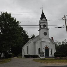
Alfred Historic District
6.9 km
Harper Family House
15.6 km
Edmund E. Goodwin House
10.4 km
Lower Alewive Historic District
17 km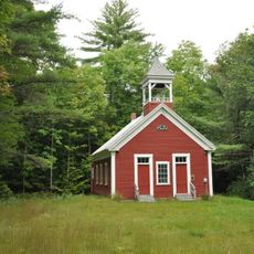
District No. 5 School
4.3 km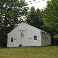
Elder Grey Meetinghouse
11.2 km
Dennis Johnson Lumber Company Mill
9.4 km
Emery Homestead
11.8 km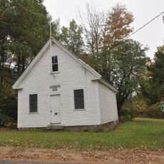
Lincoln School
16.6 km
Lord-Dane House
4.2 km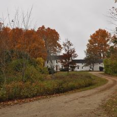
James Smith Homestead
16.7 km
Smith-Emery House
10.2 km
James Leavitt House
6 kmVisited this place? Tap the stars to rate it and share your experience / photos with the community! Try now! You can cancel it anytime.
Discover hidden gems everywhere you go!
From secret cafés to breathtaking viewpoints, skip the crowded tourist spots and find places that match your style. Our app makes it easy with voice search, smart filtering, route optimization, and insider tips from travelers worldwide. Download now for the complete mobile experience.

A unique approach to discovering new places❞
— Le Figaro
All the places worth exploring❞
— France Info
A tailor-made excursion in just a few clicks❞
— 20 Minutes