Agamenticus, Mountain in York County, Maine, United States
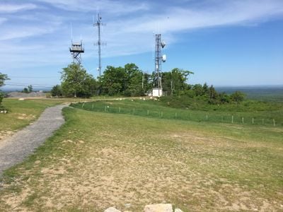
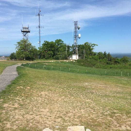
Agamenticus, also known as Mount Agamenticus, is a mountain and scenic viewpoint in York County, Maine, United States. It rises to 692 feet (211 meters) and is surrounded by a nature reserve with forests and trails, offering views of the Atlantic Ocean, the White Mountains, and on clear days the Boston skyline.
The mountain was charted by Captain John Smith in 1614 and later served as a landmark for sailors navigating the coast. In the 20th century, a ski area operated on its slopes, and its traces can still be seen near the summit and along the trails.
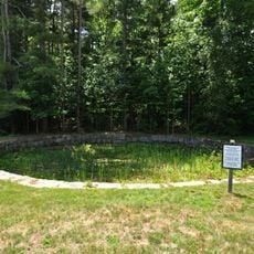
Locals often call the mountain "Big A", a nickname that recalls the ski slope that once operated on its northeast side. Near the summit, a memorial cairn honors the Mi'kmaq chief St. Aspinquid, a figure tied to local stories and the area's Indigenous past.
The summit is reachable by car via a paved road, with a parking area near the top, and several trails of varying lengths lead through the surrounding forest. Visitors should wear sturdy shoes for walking on rocky paths and bring layers, as the summit can be windy and cooler than the surrounding lowlands.
On clear days, the summit of Mount Agamenticus can be seen from the fire control tower at Halibut Point State Park in Rockport, Massachusetts, over 50 miles (80 kilometers) away. The mountain is a monadnock, a isolated hill that has resisted erosion while the surrounding land wore away.
The community of curious travelers
AroundUs brings together thousands of curated places, local tips, and hidden gems, enriched daily by 94,460 contributors worldwide.