Enable Location

We need your location to show you interesting places around you

Discover nearby places

Find interesting locations and hidden gems around you

Precise directions

Get accurate directions and distances to places

Your location is never shared with other users. It's only used when you tap the location button.

Arnold Mills Historic District

Log in to your account

Start exploring — it's free

Trusted by 61,860 travelers worldwide

Continue with Google
Continue with Apple
or

We will send you a code to connect

By continuing, you accept our Terms and Conditions and our Privacy Policy

Check your inbox

We've sent a pincode in your inbox. Please enter the code below.

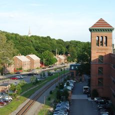
Arnold Mills Historic District, Historic mill district in Cumberland, United States.

Description

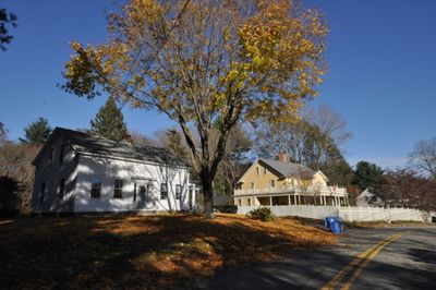
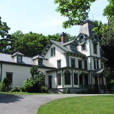
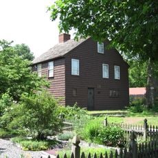
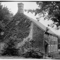
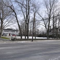
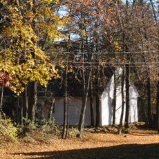
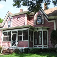
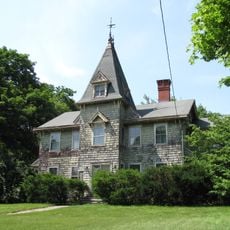
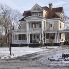
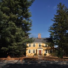
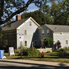
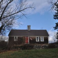
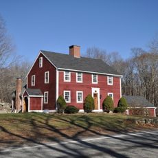
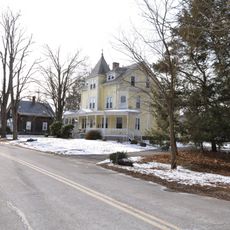
Arnold Mills Historic District spreads across roughly 100 acres along Nate Whipple Highway and Sneech Pond Road, showcasing Federal and Greek Revival style buildings. Numerous homes dating to the 18th and 19th centuries line Sneech Pond Road, which once served as the primary east-west thoroughfare through the region.

History

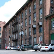
The district grew from textile manufacturing beginnings in the early 18th century and gained National Register of Historic Places status in December 1978. Its development as a prosperous mill community left architectural evidence that remains visible in the landscape today.

Culture

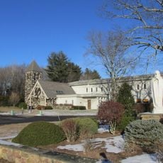
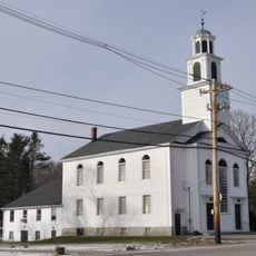
The Methodist Church at the center of this former mill community was built between 1825 and 1827 and reflects how religious buildings shaped communal life in industrial villages. The structure remains a gathering place that residents still recognize as the district's heart.

Practical

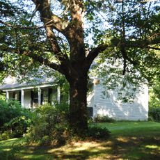
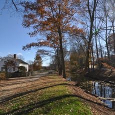
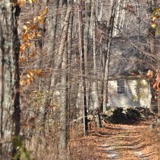
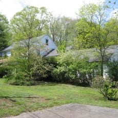
The district is best explored on foot, with Sneech Pond Road displaying homes and buildings clearly. Prepare for field paths and natural areas, as some structures sit surrounded by trees and forest coverage.

Did you know?

A steel Pratt pony truss bridge from the early 20th century crosses Abbott Run but no longer carries vehicle traffic. Today it stands as a quiet remnant from when bridges connected isolated mill communities together.

Location
GPS coordinates
41.97960,-71.39380
Latest update
December 14, 2025 16:44

AroundUs brings together thousands of curated places, local tips, and hidden gems, enriched daily by 60,000 contributors worldwide. Discover all places nearby (Cumberland).

Around this place
Cumberlandite
United States of America

Cumberlandite

5.7 km
Angle Tree Stone
United States of America

Angle Tree Stone

2.5 km
Providence Zen Center
United States of America

Providence Zen Center

3.2 km
Mount Saint Mary's Abbey
United States of America

Mount Saint Mary's Abbey

6.8 km
Attleborough Falls Historic District
United States of America

Attleborough Falls Historic District

6.3 km
Lewis Tower House
United States of America

Lewis Tower House

4.9 km
Ashton Historic District
United States of America

Ashton Historic District

5.7 km
North Attleborough Town Center Historic District
United States of America

North Attleborough Town Center Historic District

5 km
Woodcock-Hatch-Maxcy House Historic District
United States of America

Woodcock-Hatch-Maxcy House Historic District

5.4 km
Valentine Whitman House
United States of America

Valentine Whitman House

7.4 km
Old Ashton Historic District
United States of America

Old Ashton Historic District

5.8 km
Berkeley Mill Village
United States of America

Berkeley Mill Village

6 km
South Washington Street Historic District
United States of America

South Washington Street Historic District

4.9 km
Old Town Historic District
United States of America

Old Town Historic District

5.9 km
Attleborough Falls Gasholder Building
United States of America

Attleborough Falls Gasholder Building

6.2 km
The Codding Farm
United States of America

The Codding Farm

4.3 km
John Cole Farm
United States of America

John Cole Farm

1.6 km
Cottage-Freeman Historic District
United States of America

Cottage-Freeman Historic District

7 km
Commonwealth Avenue Historic District
United States of America

Commonwealth Avenue Historic District

7 km
Herbert A. Sadler House
United States of America

Herbert A. Sadler House

7.2 km
Ballou-Weatherhead House
United States of America

Ballou-Weatherhead House

4.5 km
Whipple-Cullen House and Barn
United States of America

Whipple-Cullen House and Barn

6.8 km
Burlingame-Noon House
United States of America

Burlingame-Noon House

5.2 km
Capt. Joel Robinson House
United States of America

Capt. Joel Robinson House

6.9 km
Whipple-Jenckes House
United States of America

Whipple-Jenckes House

2.6 km
Ballou House
United States of America

Ballou House

7.5 km
Towne Street Historic District
United States of America

Towne Street Historic District

6.8 km
Albion Historic District
United States of America

Albion Historic District

5.9 km
Show the full map
« Arnold Mills Historic District - Historic mill district in Cumberland, United States » is provided by Around Us (aroundus.com). Images and texts are derived from Wikimedia project under a Creative Commons license. You are allowed to copy, distribute, and modify copies of this page, under the conditions set by the license, as long as this note is clearly visible.

Discover hidden gems everywhere you go!

From secret cafés to breathtaking viewpoints, skip the crowded tourist spots and find places that match your style. Our app makes it easy with voice search, smart filtering, route optimization, and insider tips from travelers worldwide. Download now for the complete mobile experience.

Around Us App Screenshot

A unique approach to discovering new places

Le Figaro

All the places worth exploring

France Info

A tailor-made excursion in just a few clicks

20 Minutes

Around Us
Travel Guide & Maps
Download

Send to your phone

QR Code
1

Open the camera app on your mobile.

2

Point at the QR code with your camera. A notification will appear.

3

Tap the notification to open the link.