Audubon Park, neighborhood of Minneapolis, Minnesota, United States
Location: Minneapolis
Inception: 1849
Shares border with: Waite Park, Windom Park
GPS coordinates: 45.01710,-93.23770
Latest update: April 19, 2025 03:53
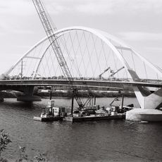
Lowry Avenue Bridge
2.9 km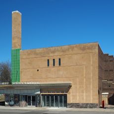
Hollywood Theater
242 m
Pierre Bottineau Library
3.2 km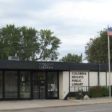
Columbia Heights Public Library
2.8 km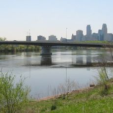
Broadway Avenue Bridge
3.6 km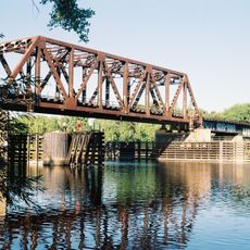
Northern Pacific-BNSF Minneapolis Rail Bridge
3.2 km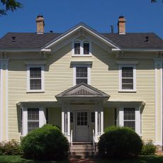
Horatio P. Van Cleve House
3.5 km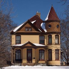
Foss House
3.4 km
North East Neighborhood House
2.4 km
Woodbury Fisk House
3.5 km
Boom Island Park
3.7 km
Dickman Park
3.2 km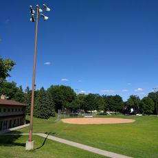
Windom Northeast Park
563 m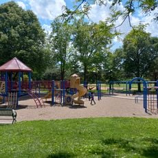
Van Cleve Park
3.5 km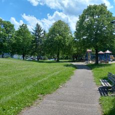
Marcy Park
3.4 km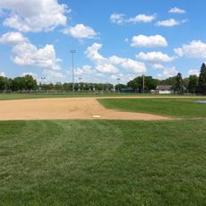
Northeast Athletic Field Park
1.6 km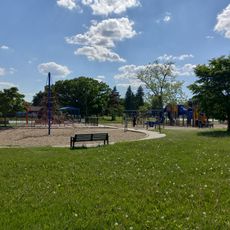
Waite Park
1.3 km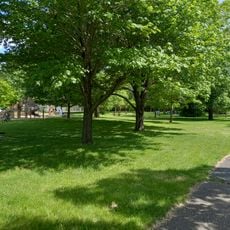
Marshall Terrace Park
2.8 km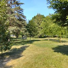
Logan Park
2.3 km
Deming Heights Park
957 m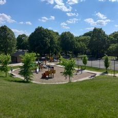
Cavell Park
1.5 km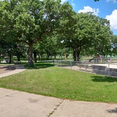
Beltrami Park
2.2 km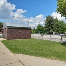
Bottineau Field Park
2.5 km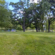
Columbia Park
1.7 km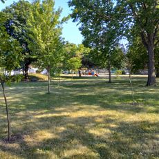
St. Anthony Park
2.9 km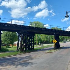
Soo Line Bridge
2.1 km
Audubon Park
397 mVisited this place? Tap the stars to rate it and share your experience / photos with the community! Try now! You can cancel it anytime.
Discover hidden gems everywhere you go!
From secret cafés to breathtaking viewpoints, skip the crowded tourist spots and find places that match your style. Our app makes it easy with voice search, smart filtering, route optimization, and insider tips from travelers worldwide. Download now for the complete mobile experience.

A unique approach to discovering new places❞
— Le Figaro
All the places worth exploring❞
— France Info
A tailor-made excursion in just a few clicks❞
— 20 Minutes