Chest opened
+${chestReward.xp} XP
Explorer
NOUVEAU ×${chestReward.collectible.quantity}
tapez pour fermer
Chest locked

Open chests in the app

Around Us is built for your phone — chests unlock when you walk, explore and capture nearby places.

Enable Location

We need your location to show you interesting places around you

Discover nearby places

Find interesting locations and hidden gems around you

Precise directions

Get accurate directions and distances to places

Your location is never shared with other users. It's only used when you tap the location button.

Log in to your account

Start exploring — it's free

Trusted by 72,893 travelers worldwide

Continue with Google
Continue with Apple
or

We will send you a code to connect

By continuing, you accept our Terms and Conditions and our Privacy Policy

Check your inbox

We've sent a pincode in your inbox. Please enter the code below.

Baltimore Hundred
Discussion Reviews Photo
2k Popularity

Baltimore Hundred, Administrative division in Sussex County, United States.

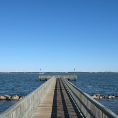
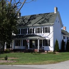
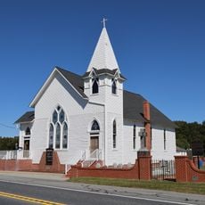
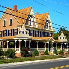
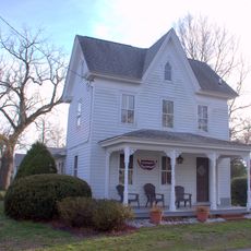
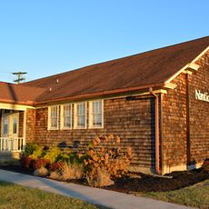
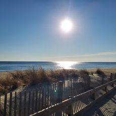
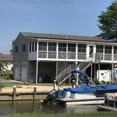
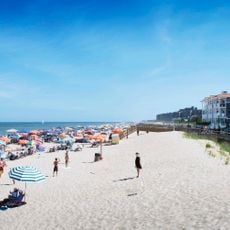
Baltimore Hundred is a historic administrative division in Sussex County, Delaware, stretching from the Atlantic Ocean to the Great Cypress Swamps. The territory encompasses three distinct villages that vary from coastal settlements to inland areas.

The region originally belonged to Worcester County in Maryland but became part of Delaware in 1775. Its name derives from Lord Baltimore, referencing the English charter system that governed colonial land distribution.

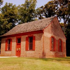
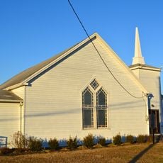
The name hundred originates from a historical system where landowners organized territories based on how many farms they could support. Today, the villages of Selbyville, Roxanna, and Ocean View reflect this agricultural heritage and show how settlement patterns developed over time.

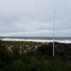
The territory spans flat terrain with an average elevation of about 26 feet (8 meters) above sea level. Visitors should expect low-lying, moisture-rich conditions, particularly in the swampy areas.

Boundary disputes between Maryland and Pennsylvania prompted an international arbitration process in England that ultimately confirmed this territory as part of Delaware. This border settlement was a rare example of European intervention resolving colonial disputes.

The community of curious travelers

AroundUs brings together thousands of curated places, local tips, and hidden gems, enriched daily by 60,000 contributors worldwide.

Start exploring
Location
GPS coordinates
38.55650,-75.20270
Latest update
December 14, 2025 11:26
Around this place
Indian River Inlet Bridge
United States of America

Indian River Inlet Bridge

13.4 km
Delaware Seashore State Park
United States of America

Delaware Seashore State Park

15.8 km
Fenwick Island State Park
United States of America

Fenwick Island State Park

14.9 km
Fenwick Island Light
United States of America

Fenwick Island Light

17.4 km
Holts Landing State Park
United States of America

Holts Landing State Park

7.5 km
Georgetown Speedway
United States of America

Georgetown Speedway

17.6 km
St. Martin's Episcopal Church
United States of America

St. Martin's Episcopal Church

18.2 km
Harmony Church
United States of America

Harmony Church

5.7 km
Indian Mission School
United States of America

Indian Mission School

5.5 km
Blackwater Presbyterian Church
United States of America

Blackwater Presbyterian Church

3.7 km
St. George's Chapel, Lewes
United States of America

St. George's Chapel, Lewes

14.4 km
Poplar Thicket
United States of America

Poplar Thicket

9.1 km
Hopkins' Covered Bridge Farm
United States of America

Hopkins' Covered Bridge Farm

18.2 km
St. John's Methodist Church
United States of America

St. John's Methodist Church

16.7 km
Thunder Lagoon Water Park
United States of America

Thunder Lagoon Water Park

17.4 km
Capt. Ebe Chandler House
United States of America

Capt. Ebe Chandler House

5.2 km
Isaac Harmon Farmhouse
United States of America

Isaac Harmon Farmhouse

4.7 km
Dinker-Irvin House
United States of America

Dinker-Irvin House

12.6 km
Ball Theatre
United States of America

Ball Theatre

10.8 km
Tunnell-West House
United States of America

Tunnell-West House

9.9 km
United States of America

Spring Banke

5.5 km
Evans–West House
United States of America

Evans–West House

10 km
Nanticoke Indian Museum
United States of America

Nanticoke Indian Museum

6.4 km
Maryland Beach
United States of America

Maryland Beach

18.1 km
Indian River Life-Saving Station
United States of America

Indian River Life-Saving Station

14.6 km
Joy Beach
United States of America

Joy Beach

14.8 km
Indian Beach
United States of America

Indian Beach

18.2 km
Bethany Beach
United States of America

Bethany Beach

13.1 km
Show the full map
Reviews
Share your experience

No review yet

Discussions
Start a discussion...

No discussion yet

« Baltimore Hundred - Administrative division in Sussex County, United States » is provided by Around Us (aroundus.com). Images and texts are derived from Wikimedia project under a Creative Commons license. You are allowed to copy, distribute, and modify copies of this page, under the conditions set by the license, as long as this note is clearly visible.

Discover hidden gems everywhere you go!

From secret cafés to breathtaking viewpoints, skip the crowded tourist spots and find places that match your style. Our app makes it easy with voice search, smart filtering, route optimization, and insider tips from travelers worldwide. Download now for the complete mobile experience.

Around Us App Screenshot

A unique approach to discovering new places

Le Figaro

All the places worth exploring

France Info

A tailor-made excursion in just a few clicks

20 Minutes

Around Us
Travel Guide & Maps
Download

Send to your phone

QR Code
1

Open the camera app on your mobile.

2

Point at the QR code with your camera. A notification will appear.

3

Tap the notification to open the link.