Enable Location

We need your location to show you interesting places around you

Discover nearby places

Find interesting locations and hidden gems around you

Precise directions

Get accurate directions and distances to places

Your location is never shared with other users. It's only used when you tap the location button.

Bean Hill Historic District

Log in to your account

Start exploring — it's free

Trusted by 63,038 travelers worldwide

Continue with Google
Continue with Apple
or

We will send you a code to connect

By continuing, you accept our Terms and Conditions and our Privacy Policy

Check your inbox

We've sent a pincode in your inbox. Please enter the code below.

Discussion Reviews 1 Photos
1.4k Popularity

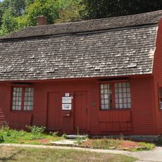
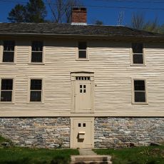
Bean Hill Historic District, Historic district in Norwich, Connecticut, United States

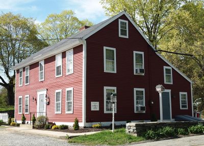
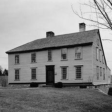
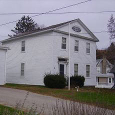
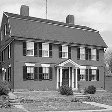
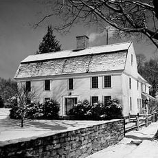
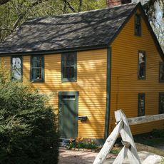
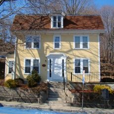
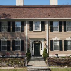
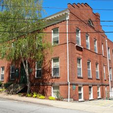
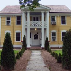
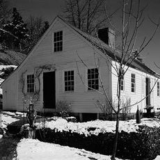
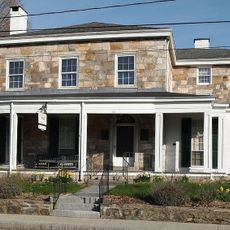
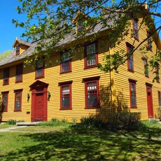
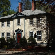
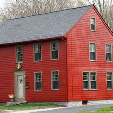
Bean Hill Historic District is a neighborhood with 23 preserved buildings arranged around Bean Hill Green, a central square where several streets meet. The settlement stretches across about 22 acres along West Town Street and includes houses from different periods as well as a church from the 1800s.

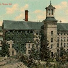
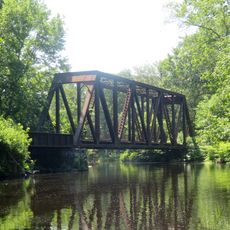
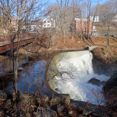
The area developed into an important production and trade center starting in the 1700s, with several mills using the river. A church was built in 1833 and was the first Methodist house of worship in the city, showing how important this place had become as a settlement core.

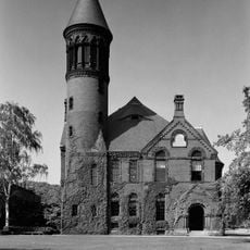
The area shows different building styles that reflect how the community developed over time. The houses and church tell stories about how people lived and what mattered to them.

The neighborhood is easy to walk through since buildings line connected streets. Visitors can view the different time periods from the outside as they stroll through the area.

The name may come from buried pots of baked beans that settlers reportedly found in the ground. This local story makes the area special beyond just its buildings.

The community of curious travelers

AroundUs brings together thousands of curated places, local tips, and hidden gems, enriched daily by 60,000 contributors worldwide.

Start exploring
Location
Elevation above the sea
37 m
GPS coordinates
41.55667,-72.11000
Latest update
December 14, 2025 16:41
Around this place
Leffingwell Inn
United States of America

Leffingwell Inn

2.4 km
Norwich Town Hall
United States of America

Norwich Town Hall

4.1 km
Nathaniel Backus House
United States of America

Nathaniel Backus House

3.6 km
Joseph Carpenter Silversmith Shop
United States of America

Joseph Carpenter Silversmith Shop

1.5 km
Dr. Joshua Lathrop House
United States of America

Dr. Joshua Lathrop House

2.1 km
Carroll Building
United States of America

Carroll Building

4.4 km
Converse House and Barn
United States of America

Converse House and Barn

3.3 km
Yantic Woolen Company Mill
United States of America

Yantic Woolen Company Mill

1.3 km
Chelsea Parade Historic District
United States of America

Chelsea Parade Historic District

3.5 km
Carpenter House
United States of America

Carpenter House

1.4 km
Bradford-Huntington House
United States of America

Bradford-Huntington House

1.6 km
Dr. Philip Turner House
United States of America

Dr. Philip Turner House

1.3 km
Broad Street School
United States of America

Broad Street School

3.7 km
Yantic Falls Historic District
United States of America

Yantic Falls Historic District

3.1 km
Jail Hill Historic District
United States of America

Jail Hill Historic District

4.1 km
Gen. Jedidiah Huntington House
United States of America

Gen. Jedidiah Huntington House

1.7 km
Telephone Exchange Building
United States of America

Telephone Exchange Building

3.8 km
Gov. Samuel Huntington House
United States of America

Gov. Samuel Huntington House

1.7 km
Capt. Richard Charlton House
United States of America

Capt. Richard Charlton House

1.3 km
Perkins-Rockwell House
United States of America

Perkins-Rockwell House

3.5 km
Col. Joshua Huntington House
United States of America

Col. Joshua Huntington House

1.7 km
Slater Memorial Museum
United States of America

Slater Memorial Museum

3.3 km
Little Plain Historic District
United States of America

Little Plain Historic District

4.3 km
Norwichtown Historic District
United States of America

Norwichtown Historic District

1.8 km
Yantic Falls Bridge
United States of America

Yantic Falls Bridge

3 km
Sunnyside Street Bridge
United States of America

Sunnyside Street Bridge

1.2 km
Indian Leap Pedestrian Bridge
United States of America

Indian Leap Pedestrian Bridge

3 km
Yantic Falls Footbridge
United States of America

Yantic Falls Footbridge

3.1 km
Show the full map
Reviews
Share your experience

No review yet

Discussions
Start a discussion...

No discussion yet

« Bean Hill Historic District - Historic district in Norwich, Connecticut, United States » is provided by Around Us (aroundus.com). Images and texts are derived from Wikimedia project under a Creative Commons license. You are allowed to copy, distribute, and modify copies of this page, under the conditions set by the license, as long as this note is clearly visible.

Discover hidden gems everywhere you go!

From secret cafés to breathtaking viewpoints, skip the crowded tourist spots and find places that match your style. Our app makes it easy with voice search, smart filtering, route optimization, and insider tips from travelers worldwide. Download now for the complete mobile experience.

Around Us App Screenshot

A unique approach to discovering new places

Le Figaro

All the places worth exploring

France Info

A tailor-made excursion in just a few clicks

20 Minutes

Around Us
Travel Guide & Maps
Download

Send to your phone

QR Code
1

Open the camera app on your mobile.

2

Point at the QR code with your camera. A notification will appear.

3

Tap the notification to open the link.