
Blue River Township, township in Johnson County, Indiana
Location: Johnson County
Elevation above the sea: 216 m
GPS coordinates: 39.39056,-85.99167
Latest update: March 7, 2025 11:27
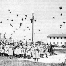
Camp Atterbury
11.9 km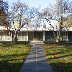
Miller House and Garden
19.1 km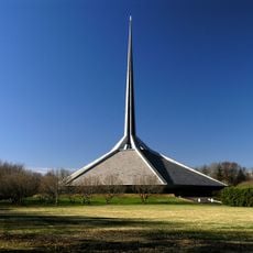
North Christian Church
19.1 km
Cummins Corporate Office Building
21.3 km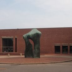
Cleo Rogers Memorial Library
21.7 km
Irwin Conference Center
21.7 km
Mill Race Park
21.4 km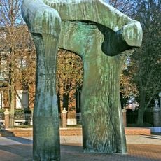
The Arch
21.7 km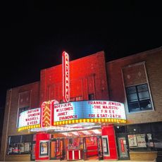
Artcraft Theatre
11.5 km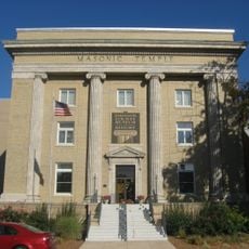
Johnson County Museum of History
11.5 km
Johnson County Courthouse Square
11.3 km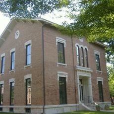
Columbus Historic District
21.5 km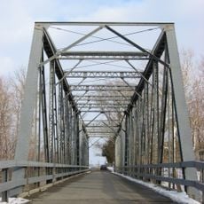
New Hope Bridge
15.8 km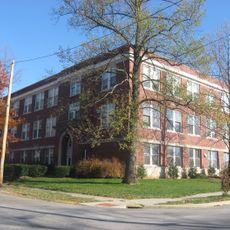
Franklin Senior High School
11.2 km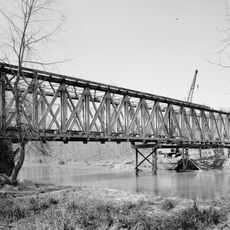
Brownsville Covered Bridge
21.2 km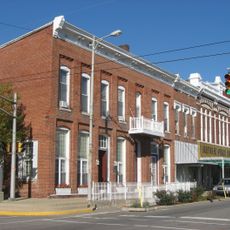
Franklin Commercial Historic District
11.4 km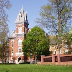
Old Main
11 km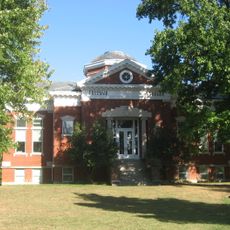
Franklin College Library
10.9 km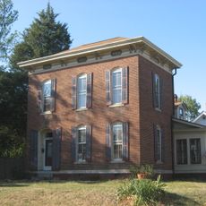
August Zeppenfeld House
11.6 km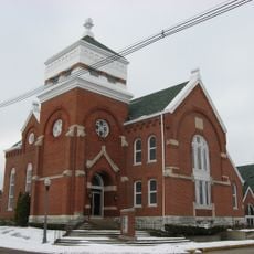
South Walnut Street Historic District
4.9 km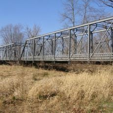
Pugh Ford Bridge
12.6 km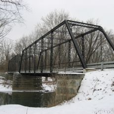
Furnas Mill Bridge
1.1 km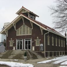
Toner Historic District
4.9 km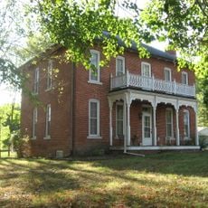
Herriott House
12.1 km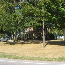
Van Nuys Farm
16.3 km
Martin Place Historic District
11.8 km
Jonathan Moore Pike I-65 Bridge
21.4 km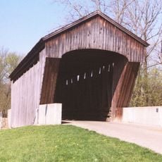
New Brownsville Bridge
21.2 kmReviews
Visited this place? Tap the stars to rate it and share your experience / photos with the community! Try now! You can cancel it anytime.
Discover hidden gems everywhere you go!
From secret cafés to breathtaking viewpoints, skip the crowded tourist spots and find places that match your style. Our app makes it easy with voice search, smart filtering, route optimization, and insider tips from travelers worldwide. Download now for the complete mobile experience.

A unique approach to discovering new places❞
— Le Figaro
All the places worth exploring❞
— France Info
A tailor-made excursion in just a few clicks❞
— 20 Minutes