Mill Race Park, Urban park in Columbus, Indiana, US.
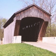
Mill Race Park is an 85-acre urban park in Columbus, Indiana, that stretches along the convergence of the Flat Rock and Driftwood rivers. The grounds feature an 84-foot observation tower, a covered bridge, basketball courts, a boat launch, fishing spots, and several shelterhouses with electrical and water service.
The area was an impoverished neighborhood called Death Valley in the 1930s before becoming the first version of Tipton Park in 1963. This transformation marked a significant change for the district, eventually leading to its current design with modern architectural elements.
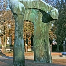
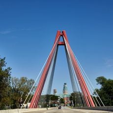
The park features contemporary architectural design with red metal elements that run throughout its structures and define the space. These design details give the area a distinctive visual character that visitors notice as they explore the grounds.
The grounds have five parking areas that serve visitors accessing various activities like boating and fishing. It is well-equipped with amenities such as shelterhouses with electrical hookups and water, making it practical for family gatherings and outdoor activities.
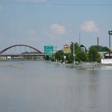
The park's design takes into account the natural flooding patterns of the rivers and positions its earthen amphitheater above water levels during high water events. This thoughtful planning shows how the park works with nature rather than against it.
The community of curious travelers
AroundUs brings together thousands of curated places, local tips, and hidden gems, enriched daily by 60,000 contributors worldwide.