Enable Location

We need your location to show you interesting places around you

Discover nearby places

Find interesting locations and hidden gems around you

Precise directions

Get accurate directions and distances to places

Your location is never shared with other users. It's only used when you tap the location button.

Log in to your account

Start exploring — it's free

Trusted by 62,485 travelers worldwide

Continue with Google
Continue with Apple
or

We will send you a code to connect

By continuing, you accept our Terms and Conditions and our Privacy Policy

Check your inbox

We've sent a pincode in your inbox. Please enter the code below.

Buffalo River Trail

Buffalo River Trail, Weg in den Vereinigten Staaten

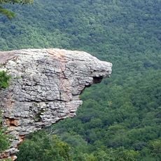
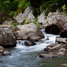
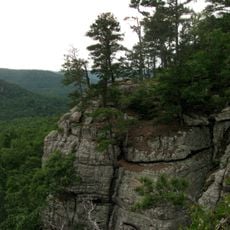
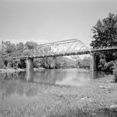
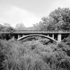
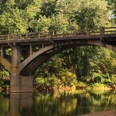
Buffalo River Trail is a hiking path in the Ozarks of Arkansas that stretches about 37 miles from Boxley Valley to Pruitt. The route follows along river banks and bluffs with multiple access points including Ponca, Steel Creek, and Erbie.

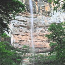
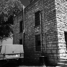
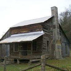
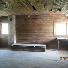
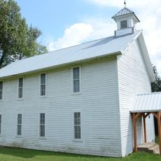
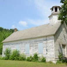
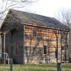
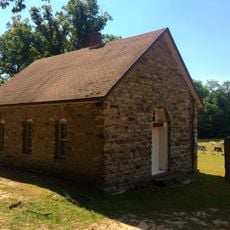
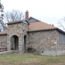
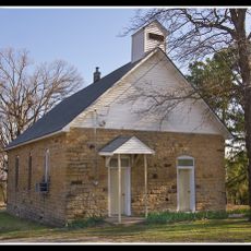
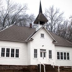
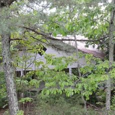
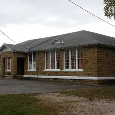
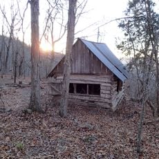
The region around Buffalo River shows traces of human use over many centuries, with historic structures and old pathways that speak to past times. The river itself has shaped the land over time, carving deep canyons and valleys that visitors see today.

The trail is free and accessible year-round with no permit or reservation needed. Hikers should bring water, snacks, and sturdy shoes since facilities are not available along the route, and some sections are narrow and rocky near steep drop-offs.

Along the route, remnants of old vehicles sit on the Old River Trail, remembering when families once moved through the region with horse-drawn wagons and later by car. These scattered artifacts offer an unexpected glimpse into how people once lived in this valley.

The community of curious travelers

AroundUs brings together thousands of curated places, local tips, and hidden gems, enriched daily by 60,000 contributors worldwide.

Start exploring
GPS coordinates
35.94600,-93.39840
Latest update
February 7, 2026 12:00
Around this place
Dogpatch USA
United States of America

Dogpatch USA

29.9 km
Hemmed-In-Hollow Falls
United States of America

Hemmed-In-Hollow Falls

16.3 km
Upper Buffalo Wilderness
United States of America

Upper Buffalo Wilderness

7.6 km
Richland Creek Wilderness
United States of America

Richland Creek Wilderness

7.6 km
Sam's Throne
United States of America

Sam's Throne

31.8 km
Newton County Jail
United States of America

Newton County Jail

20.3 km
Parker-Hickman Farm Historic District
United States of America

Parker-Hickman Farm Historic District

21.1 km
Union School
United States of America

Union School

35.3 km
Madison County Courthouse
United States of America

Madison County Courthouse

34.3 km
Big Piney Creek Bridge
United States of America

Big Piney Creek Bridge

33.3 km
Yell Masonic Lodge Hall
United States of America

Yell Masonic Lodge Hall

36 km
Shady Grove Delmar Church and School
United States of America

Shady Grove Delmar Church and School

24.6 km
Little Buffalo River Bridge
United States of America

Little Buffalo River Bridge

15.7 km
Buffalo River Bridge
United States of America

Buffalo River Bridge

26.7 km
Villines Mill
United States of America

Villines Mill

4.9 km
Dog Branch School
United States of America

Dog Branch School

28.9 km
Bank of Kingston
United States of America

Bank of Kingston

15.8 km
Newton County Courthouse
United States of America

Newton County Courthouse

20.3 km
Ozone School
United States of America

Ozone School

35.3 km
Harp Creek Bridge
United States of America

Harp Creek Bridge

28 km
Grubb Springs School
United States of America

Grubb Springs School

37.8 km
Jasper Commercial Historic District
United States of America

Jasper Commercial Historic District

20.3 km
Pettigrew School
United States of America

Pettigrew School

26.8 km
War Eagle Creek Bridge
United States of America

War Eagle Creek Bridge

33.1 km
Thomas J. Hankins House
United States of America

Thomas J. Hankins House

36.9 km
St. Paul School Building
United States of America

St. Paul School Building

35.8 km
Huntsville Commercial Historic District
United States of America

Huntsville Commercial Historic District

34.3 km
Flowers Cabin
United States of America

Flowers Cabin

16.4 km
Show the full map
« Buffalo River Trail - Weg in den Vereinigten Staaten » is provided by Around Us (aroundus.com). Images and texts are derived from Wikimedia project under a Creative Commons license. You are allowed to copy, distribute, and modify copies of this page, under the conditions set by the license, as long as this note is clearly visible.

Discover hidden gems everywhere you go!

From secret cafés to breathtaking viewpoints, skip the crowded tourist spots and find places that match your style. Our app makes it easy with voice search, smart filtering, route optimization, and insider tips from travelers worldwide. Download now for the complete mobile experience.

Around Us App Screenshot

A unique approach to discovering new places

Le Figaro

All the places worth exploring

France Info

A tailor-made excursion in just a few clicks

20 Minutes

Around Us
Travel Guide & Maps
Download

Send to your phone

QR Code
1

Open the camera app on your mobile.

2

Point at the QR code with your camera. A notification will appear.

3

Tap the notification to open the link.