Chest opened
+${chestReward.xp} XP
Explorer
NOUVEAU ×${chestReward.collectible.quantity}
tapez pour fermer

See the monuments around you in AR Open chests in the app

Around Us is built for your phone — point your camera at the streets and discover the monuments and places around you in augmented reality. Around Us is built for your phone — chests unlock when you walk, explore and capture nearby places.

Enable Location

We need your location to show you interesting places around you

Discover nearby places

Find interesting locations and hidden gems around you

Precise directions

Get accurate directions and distances to places

Your location is never shared with other users. It's only used when you tap the location button.

Log in to your account

Start exploring — it's free

Trusted by 83,008 travelers worldwide

Continue with Google
Continue with Apple
or

We will send you a code to connect

By continuing, you accept our Terms and Conditions and our Privacy Policy

Check your inbox

We've sent a pincode in your inbox. Please enter the code below.

Discussion Reviews Photo
4.7k Popularity

Cardinal Greenway, National Recreation Trail in Indiana, US

The Cardinal Greenway is a paved pathway stretching roughly 75 miles through eastern Indiana, connecting Richmond to Marion. The route passes through city areas, small towns, and open countryside with multiple stopping points positioned throughout its length.

The pathway follows the former railroad line of the Cardinal passenger trains that once ran between Cincinnati and Chicago. Over time, this old rail route was converted into a public recreational way.

The trail connects multiple communities and passes through regions where different towns have grown up alongside it. Visitors can see how local settlements relate to and use the path as part of their daily surroundings.

Visitors find trailheads at various points with parking available and seasonal restroom access. The pathway is well-maintained and flat, making it suitable for biking, jogging, or walking.

Nine bridges cross waterways at different points and offer scenic spots where the landscape changes. A separate equestrian path near Medford spans around 3.5 miles for those who prefer riding horses away from the main trail.

The community of curious travelers

AroundUs brings together thousands of curated places, local tips, and hidden gems, enriched daily by 60,000 contributors worldwide.
Start exploring
Location
GPS coordinates
40.55770,-85.69300
Latest update
August 4, 2026 03:43
Around this place
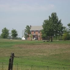
Dr. Richard Davis House
United States of America

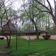
Dr. Richard Davis House

3.8 km
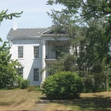
Marie Webster House
United States of America

Marie Webster House

2.9 km
Marion National Cemetery
United States of America

Marion National Cemetery

6.6 km
Cumberland Covered Bridge
United States of America

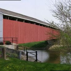
Cumberland Covered Bridge

25.8 km
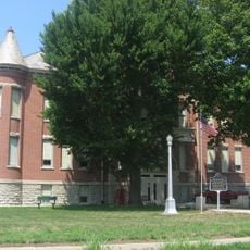
Grant County Jail and Sheriff's Residence
United States of America

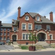
Grant County Jail and Sheriff's Residence

3 km
Israel Jenkins House
United States of America

Israel Jenkins House

15.5 km
Marion Downtown Commercial Historic District
United States of America

Marion Downtown Commercial Historic District

2.8 km
United States of America

Greentown Glass Museum

24.8 km
Aaron Swayzee House
United States of America

Aaron Swayzee House

3 km
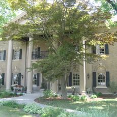
J. Woodrow Wilson House
United States of America

J. Woodrow Wilson House

1.9 km
West Ward School
United States of America

West Ward School

10 km
Meshingomesia Cemetery and Indian School Historic District
United States of America

Meshingomesia Cemetery and Indian School Historic District

9.8 km
Baldwin Addition Historic District
United States of America

Baldwin Addition Historic District

15.9 km
Thompson-Ray House
United States of America

Thompson-Ray House

10.4 km
LaFontaine Historic District
United States of America

LaFontaine Historic District

13.2 km
Converse-Jackson Township Public Library
United States of America

Converse-Jackson Township Public Library

15.5 km
Abijah C. Jay House
United States of America

Abijah C. Jay House

2.8 km
J.W. Patterson House
United States of America

J.W. Patterson House

16.3 km
Fairmount Commercial Historic District
United States of America

Fairmount Commercial Historic District

16.2 km
Joseph & Lucinda Thawley House
United States of America

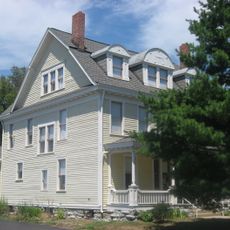
Joseph & Lucinda Thawley House

24.6 km
United States of America

Hogback Ridge State Recreation Area

15.5 km
United States of America

Pulse Opera House

26.4 km
United States of America

Firefighter Garfield Statue

10.1 km
United States of America

Statue, Work of art

2.4 km
United States of America

Statue

10.3 km
United States of America

Waterfall

20.1 km
United States of America

Waterfall

20.1 km
United States of America

M3 Stuart

10.3 km
Show the full map
Reviews
Share your experience

No review yet

Discussions
Start a discussion...

No discussion yet

« Cardinal Greenway - National Recreation Trail in Indiana, US » is provided by Around Us (aroundus.com). Images and texts are derived from Wikimedia project under a Creative Commons license. You are allowed to copy, distribute, and modify copies of this page, under the conditions set by the license, as long as this note is clearly visible.

Discover hidden gems everywhere you go!

From secret cafés to breathtaking viewpoints, skip the crowded tourist spots and find places that match your style. Our app makes it easy with voice search, smart filtering, route optimization, and insider tips from travelers worldwide. Download now for the complete mobile experience.

Around Us App Screenshot

A unique approach to discovering new places

Le Figaro

All the places worth exploring

France Info

A tailor-made excursion in just a few clicks

20 Minutes

Around Us
Travel Guide & Maps
Download

Send to your phone

QR Code
1

Open the camera app on your mobile.

2

Point at the QR code with your camera. A notification will appear.

3

Tap the notification to open the link.