Chest opened
+${chestReward.xp} XP
Explorer
NOUVEAU ×${chestReward.collectible.quantity}
tapez pour fermer

See the monuments around you in AR Open chests in the app

Around Us is built for your phone — point your camera at the streets and discover the monuments and places around you in augmented reality. Around Us is built for your phone — chests unlock when you walk, explore and capture nearby places.

Enable Location

We need your location to show you interesting places around you

Discover nearby places

Find interesting locations and hidden gems around you

Precise directions

Get accurate directions and distances to places

Your location is never shared with other users. It's only used when you tap the location button.

Log in to your account

Start exploring — it's free

Trusted by 81,388 travelers worldwide

Continue with Google
Continue with Apple
or

We will send you a code to connect

By continuing, you accept our Terms and Conditions and our Privacy Policy

Check your inbox

We've sent a pincode in your inbox. Please enter the code below.

Discussion Reviews Photo
2.5k Popularity

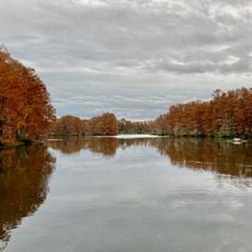
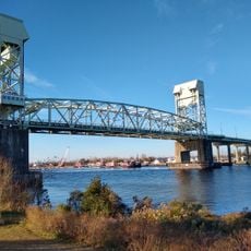
Cape Fear Skyway, Planned road bridge over Cape Fear River in Wilmington, North Carolina.

Cape Fear Skyway is a planned road bridge spanning the Cape Fear River in Wilmington, North Carolina. The design called for approximately 225 feet (69 meters) of clearance above the water to accommodate large vessels and cargo ships passing underneath.

Planning for this bridge started as a response to growing traffic needs between Wilmington and Brunswick County. After estimated costs exceeded 500 million dollars, North Carolina indefinitely suspended the project in 2019.

The bridge concept emerged from local transportation needs connecting Wilmington to Brunswick County across the Cape Fear River waterway system.

This project exists only in planning documents and cannot be visited. Since it was suspended before construction began, there is no physical location to explore or access.

State-of-the-art planning methods were employed during the preparation phase to develop an innovative infrastructure solution. These advanced techniques made the project a notable example of how modern engineering shaped transportation solutions before it was shelved.

The community of curious travelers

AroundUs brings together thousands of curated places, local tips, and hidden gems, enriched daily by 60,000 contributors worldwide.
Start exploring
Location
GPS coordinates
34.16667,-77.95000
Latest update
July 21, 2026 22:40
Around this place
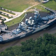
USS North Carolina
United States of America

USS North Carolina

7.8 km
Cape Fear Memorial Bridge
United States of America

Cape Fear Memorial Bridge

6.8 km
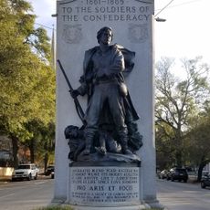
Confederate Memorial
United States of America

Confederate Memorial

7.5 km
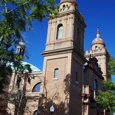
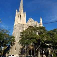
St. Mary Catholic Church
United States of America

St. Mary Catholic Church

7.3 km
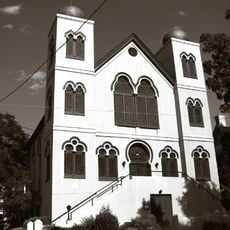
Temple of Israel
United States of America

Temple of Israel

7.7 km
Wilmington Historic District
United States of America

Wilmington Historic District

7.6 km
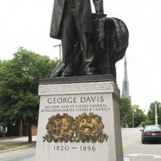
The George Davis Monument
United States of America

The George Davis Monument

7.7 km
Cape Fear Museum
United States of America

Cape Fear Museum

7.8 km
St. James Episcopal Church
United States of America

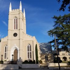
St. James Episcopal Church

7.7 km
Cameron Art Museum
United States of America

Cameron Art Museum

3.7 km
Tregembo Animal Park
United States of America

Tregembo Animal Park

6.6 km
Alton Lennon Federal Building and Courthouse
United States of America

Alton Lennon Federal Building and Courthouse

7.6 km
First Presbyterian Church
United States of America

First Presbyterian Church

7.4 km
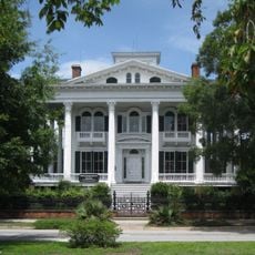
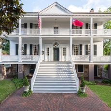
Burgwin-Wright House and Gardens
United States of America

Burgwin-Wright House and Gardens

7.6 km
Sunset Park Historic District
United States of America

Sunset Park Historic District

4.2 km
Delgrado School
United States of America

Delgrado School

7.4 km
Empie Park
United States of America

Empie Park

7.4 km
Westbrook–Ardmore Historic District
United States of America

Westbrook–Ardmore Historic District

7.5 km
Olde Fort
United States of America

Olde Fort

6.1 km
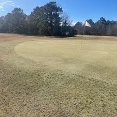
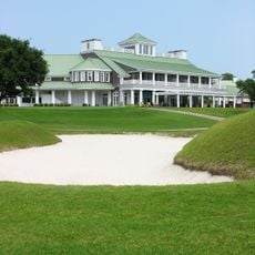
Cape Fear Country Club Golf Course
United States of America

Cape Fear Country Club Golf Course

6.2 km
Brunswick Nature Park
United States of America

Brunswick Nature Park

4.4 km
Greenfield Lake
United States of America

Greenfield Lake

4.6 km
Pine Valley Country Club
United States of America

Pine Valley Country Club

5.3 km
United States of America

Optimist Park

5.2 km
William Hooper School
United States of America

William Hooper School

6.1 km
United States of America

Cape Fear National at Brunswick Forest

7 km
United States of America

One Tree Hill Rivercourt

7.6 km
United States of America

One Tree Hill Nathan and Haley Place

7.6 km
Show the full map
Reviews
Share your experience

No review yet

Discussions
Start a discussion...

No discussion yet

« Cape Fear Skyway - Planned road bridge over Cape Fear River in Wilmington, North Carolina » is provided by Around Us (aroundus.com). Images and texts are derived from Wikimedia project under a Creative Commons license. You are allowed to copy, distribute, and modify copies of this page, under the conditions set by the license, as long as this note is clearly visible.

Discover hidden gems everywhere you go!

From secret cafés to breathtaking viewpoints, skip the crowded tourist spots and find places that match your style. Our app makes it easy with voice search, smart filtering, route optimization, and insider tips from travelers worldwide. Download now for the complete mobile experience.

Around Us App Screenshot

A unique approach to discovering new places

Le Figaro

All the places worth exploring

France Info

A tailor-made excursion in just a few clicks

20 Minutes

Around Us
Travel Guide & Maps
Download

Send to your phone

QR Code
1

Open the camera app on your mobile.

2

Point at the QR code with your camera. A notification will appear.

3

Tap the notification to open the link.