Enable Location

We need your location to show you interesting places around you

Discover nearby places

Find interesting locations and hidden gems around you

Precise directions

Get accurate directions and distances to places

Your location is never shared with other users. It's only used when you tap the location button.

Daniels Mill

Log in to your account

Join the adventure

Create your free account and start exploring (like 60k+ others)

We will send you a code to connect

or
Continue with Google
Continue with Apple
By continuing, you accept our Terms and Conditions and our Privacy Policy

Check your inbox

We've sent a pincode in your inbox. Please enter the code below.

Daniels Mill, Historic mill district in Howard County, Maryland.

Description

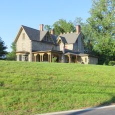
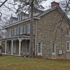
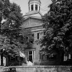
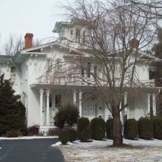
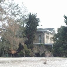
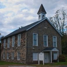
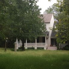
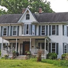
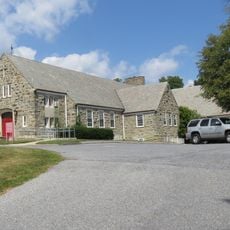
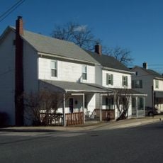
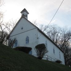
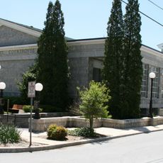
Daniels Mill is a historic industrial complex along the upper Patapsco River in Maryland with seven surviving structures from different periods. The group includes the Gary Memorial United Methodist Church with Gothic architecture, which stood apart from the others through its religious and community function.

History

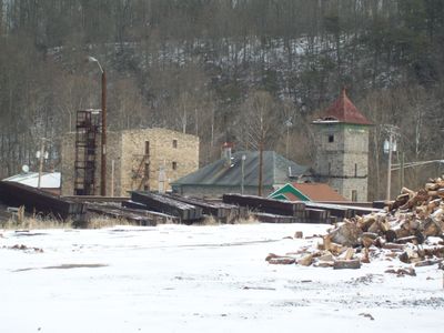
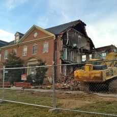
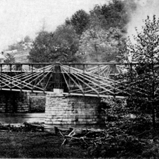
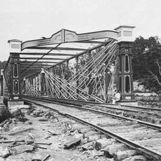
The site was built between 1825 and 1849 as a textile manufacturing facility and carried names like Elysville Mill, Gary Mill, and Alberton Mill. It survived two major disasters in the 20th century: Hurricane Agnes in 1972 destroyed most structures, and a fire in 1977 eliminated further portions.

Culture

The Gary Memorial United Methodist Church and its cemetery show how deeply religion and work were connected in this mill community. Visitors can still see how the church served as the social heart of life for the workers and their families.

Practical

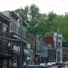
The location sits along a river section with natural surroundings and is best explored on foot since the buildings spread across the grounds. The area can become slippery in rain, so wear appropriate footwear.

Did you know?

Despite the destructive events of the 20th century, the church has remained largely intact and stands today as a quiet witness to the former factory community. The contrast between the ruins and the standing church tells a powerful story of resilience and loss.

Location
GPS coordinates
39.31720,-76.81310
Latest update
December 12, 2025 14:25

AroundUs brings together thousands of curated places, local tips, and hidden gems, enriched daily by 60,000 contributors worldwide. Discover all places nearby (Maryland).

Around this place
Patapsco Valley State Park
United States of America

Patapsco Valley State Park

3.5 km
Ellicott City Historic District
United States of America

Ellicott City Historic District

5.7 km
Ellicott City Station
United States of America

Ellicott City Station

5.7 km
Ellicott's Mills Historic District
United States of America

Ellicott's Mills Historic District

5.8 km
Lilburn
United States of America

Lilburn

6.1 km
Kelso Home for Girls
United States of America

Kelso Home for Girls

5.6 km
Choate House
United States of America

Choate House

6.6 km
Howard County Courthouse
United States of America

Howard County Courthouse

5.5 km
Gray Rock
United States of America

Gray Rock

6.7 km
White Hall
United States of America

White Hall

6.9 km
MacAlpine
United States of America

MacAlpine

5.4 km
Linwood Childrens Center
United States of America

Linwood Childrens Center

5.5 km
Temora
United States of America

Temora

7.1 km
Elmonte
United States of America

Elmonte

1.4 km
Mount Gilboa Chapel
United States of America

Mount Gilboa Chapel

5.6 km
Brick House on the Pike
United States of America

Brick House on the Pike

5 km
Granite Historic District
United States of America

Granite Historic District

4.1 km
St. John's Episcopal Church
United States of America

St. John's Episcopal Church

5.1 km
Winters Lane Historic District
United States of America

Winters Lane Historic District

7.5 km
St. Luke's African Methodist Episcopal Church
United States of America

St. Luke's African Methodist Episcopal Church

5.5 km
Howard County Circuit Courthouse
United States of America

Howard County Circuit Courthouse

5.6 km
Forest View
United States of America

Forest View

7.2 km
Diamond Ridge Golf Couse
United States of America

Diamond Ridge Golf Couse

3.6 km
Benjamin Banneker Historical Park and Museum
United States of America

Benjamin Banneker Historical Park and Museum

6.2 km
Linnwood
United States of America

Linnwood

1.2 km
Lower Elysville Bridge (1853)
United States of America

Lower Elysville Bridge (1853)

316 m
Lower Elysville Bridge (1868)
United States of America

Lower Elysville Bridge (1868)

317 m
Lower Elysville Bridge (1838)
United States of America

Lower Elysville Bridge (1838)

315 m
Show the full map
« Daniels Mill - Historic mill district in Howard County, Maryland » is provided by Around Us (aroundus.com). Images and texts are derived from Wikimedia project under a Creative Commons license. You are allowed to copy, distribute, and modify copies of this page, under the conditions set by the license, as long as this note is clearly visible.

Discover hidden gems everywhere you go!

From secret cafés to breathtaking viewpoints, skip the crowded tourist spots and find places that match your style. Our app makes it easy with voice search, smart filtering, route optimization, and insider tips from travelers worldwide. Download now for the complete mobile experience.

Around Us App Screenshot

A unique approach to discovering new places

Le Figaro

All the places worth exploring

France Info

A tailor-made excursion in just a few clicks

20 Minutes

Around Us
Travel Guide & Maps
Download

Send to your phone

QR Code
1

Open the camera app on your mobile.

2

Point at the QR code with your camera. A notification will appear.

3

Tap the notification to open the link.