Chest opened
+${chestReward.xp} XP
Explorer
NOUVEAU ×${chestReward.collectible.quantity}
tapez pour fermer

See the monuments around you in AR Open chests in the app

Around Us is built for your phone — point your camera at the streets and discover the monuments and places around you in augmented reality. Around Us is built for your phone — chests unlock when you walk, explore and capture nearby places.

Enable Location

We need your location to show you interesting places around you

Discover nearby places

Find interesting locations and hidden gems around you

Precise directions

Get accurate directions and distances to places

Your location is never shared with other users. It's only used when you tap the location button.

Edison Bridge

Log in to your account

Start exploring — it's free

Trusted by 85,238 travelers worldwide

Continue with Google
Continue with Apple
or

We will send you a code to connect

By continuing, you accept our Terms and Conditions and our Privacy Policy

Check your inbox

We've sent a pincode in your inbox. Please enter the code below.

Edison Bridge
Discussion Reviews 1 Photos
4.1k Popularity

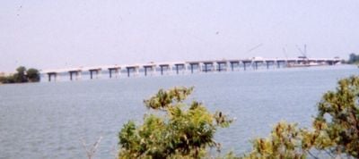
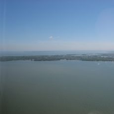
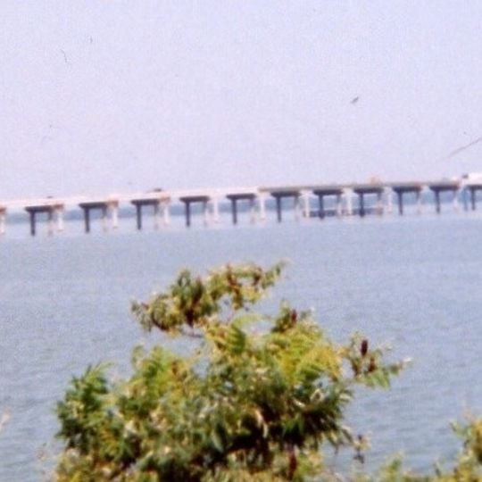
Edison Bridge, Road bridge across Sandusky Bay in Ohio, United States

Edison Bridge is a road bridge spanning Sandusky Bay in Ohio, connecting Erie County with Ottawa County as part of State Route 2. The structure provides a direct transportation link across the water between the surrounding communities.

The bridge was constructed in the 1960s to create a more reliable crossing over the bay. It was named after a prominent local figure to recognize his influence on the region and its development.

The bridge takes its name from Thomas Edison, the inventor who grew up in nearby Milan and went on to shape modern technology. His connection to the region made him a natural choice for honoring through this structure.

When crossing the bridge, expect typical vehicle traffic during peak hours, especially during morning and evening commutes. The structure is accessible to all vehicles using State Route 2 without special permits or arrangements.

When the new bridge was built, parts of the old crossing were repurposed rather than completely demolished. This practical reuse of earlier infrastructure reflects how the region adapted to new transportation needs.

The community of curious travelers

AroundUs brings together thousands of curated places, local tips, and hidden gems, enriched daily by 60,000 contributors worldwide.
Start exploring
Location
Official opening
1965
GPS coordinates
41.48120,-82.83570
Latest update
August 30, 2026 15:41
Around this place
East Harbor State Park
United States of America

East Harbor State Park

4.8 mi
African Safari Wildlife Park
United States of America

African Safari Wildlife Park

2.7 mi
Rush R. Sloane House
United States of America

Rush R. Sloane House

7 mi
Liberty Aviation Museum
United States of America

Liberty Aviation Museum

2.5 mi
Catawba Island State Park
United States of America

Catawba Island State Park

6.6 mi
Schine State Theatre
United States of America

Schine State Theatre

6.6 mi
Erie County Jail
United States of America

Erie County Jail

6.8 mi
Fort Sandoské
United States of America

Fort Sandoské

6.6 mi
Port Clinton Light
United States of America

Port Clinton Light

5.6 mi
Holy Angels Catholic Church
United States of America

Holy Angels Catholic Church

6.2 mi
Erie County Courthouse
United States of America

Erie County Courthouse

6.7 mi
Campbell School
United States of America

Campbell School

7.1 mi
Odd Fellows Hall
United States of America

Odd Fellows Hall

6.6 mi
Benajah Wolcott House
United States of America

Benajah Wolcott House

5.1 mi
Carnegie Library
United States of America

Carnegie Library

6.8 mi
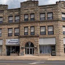
Feick Building
United States of America

Feick Building

6.7 mi
Eleutheros Cooke House
United States of America

Eleutheros Cooke House

6.8 mi
Emmanuel United Church of Christ
United States of America

Emmanuel United Church of Christ

6.8 mi
First Congregational Church
United States of America

First Congregational Church

6.7 mi
Adams Street Double House
United States of America

Adams Street Double House

6.8 mi
Masonic Temple
United States of America

Masonic Temple

6.8 mi
St. Mary's Rectory
United States of America

St. Mary's Rectory

6.6 mi
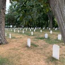
Johnson's Island Confederate Cemetery
United States of America

Johnson's Island Confederate Cemetery

5.7 mi
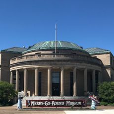
Merry-Go-Round Museum
United States of America

Merry-Go-Round Museum

6.6 mi
Orchestra Hall
United States of America

Orchestra Hall

6.3 mi
John Mertz House
United States of America

John Mertz House

6.5 mi
John Stang House
United States of America

John Stang House

6.9 mi
Follett-Moss-Moss Residences
United States of America

Follett-Moss-Moss Residences

6.9 mi
Show the full map
Reviews
Share your experience

No review yet

Discussions
Start a discussion...

No discussion yet

« Edison Bridge - Road bridge across Sandusky Bay in Ohio, United States » is provided by Around Us (aroundus.com). Images and texts are derived from Wikimedia project under a Creative Commons license. You are allowed to copy, distribute, and modify copies of this page, under the conditions set by the license, as long as this note is clearly visible.

Discover hidden gems everywhere you go!

From secret cafés to breathtaking viewpoints, skip the crowded tourist spots and find places that match your style. Our app makes it easy with voice search, smart filtering, route optimization, and insider tips from travelers worldwide. Download now for the complete mobile experience.
Around Us App Screenshot

A unique approach to discovering new places

Le Figaro

All the places worth exploring

France Info

A tailor-made excursion in just a few clicks

20 Minutes

Around Us
Travel Guide & Maps
Download

Send to your phone

QR Code
1

Open the camera app on your mobile.

2

Point at the QR code with your camera. A notification will appear.

3

Tap the notification to open the link.