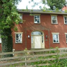
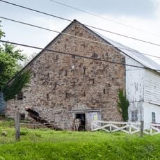
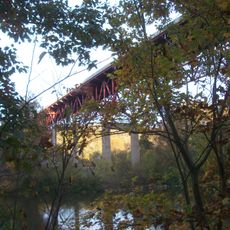
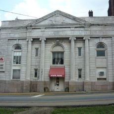
East Huntingdon Township, township in Westmoreland County, Pennsylvania, United States
Location: Westmoreland County
GPS coordinates: 40.11667,-79.58306
Latest update: March 10, 2025 06:32
Youghiogheny River Trail
15.8 km
Jacob's Creek Bridge
2.6 km
Linden Hall at Saint James Park
11.1 km
Bells Mills Covered Bridge
15.7 km
Layton Bridge
12.9 km
St. Nicholas Byzantine Catholic Church
14.9 km
Cochran Memorial United Methodist Church
9.9 km
Alliance Furnace
11.5 km
Mount Vernon Furnace
6.6 km
Mount Pleasant Historic District
4.8 km
Dawson Historic District
10.1 km
Carnegie Free Library
11.3 km
Searight's Fulling Mill
14.3 km
Scottdale Historic District
1.8 km
Adam Fisher Homestead
13.3 km
Peter and Jonathan Newmyer Farm
4.9 km
Matthew Smelser Memorial Bridge
15.8 km
Colonial National Bank Building
11.1 km
Youghiogheny Bank of Pennsylvania
14.7 km
Samuel Warden House
4.6 km
Banning Railroad Bridge
14.1 km
Smithton Low-Level Bridge
14.5 km
Dr. J.C. McClenathan House and Office
11.1 km
Karolcik Building
14.7 km
West Overton Village
1.4 km
Connellsville Canteen
11.1 km
United States Post Office
11.2 km
Connellsville P&WV bridge
10.7 kmReviews
Visited this place? Tap the stars to rate it and share your experience / photos with the community! Try now! You can cancel it anytime.
Discover hidden gems everywhere you go!
From secret cafés to breathtaking viewpoints, skip the crowded tourist spots and find places that match your style. Our app makes it easy with voice search, smart filtering, route optimization, and insider tips from travelers worldwide. Download now for the complete mobile experience.
A unique approach to discovering new places❞
— Le Figaro
All the places worth exploring❞
— France Info
A tailor-made excursion in just a few clicks❞
— 20 Minutes