
Pop District, district in Uzbekistan
Location: Namangan Region
Inception: 1926
Capital city: Pap
Elevation above the sea: 420 m
Shares border with: To‘raqo‘rg‘on District, Mingbuloq District, Chust District
GPS coordinates: 40.86667,71.20000
Latest update: March 12, 2025 05:51
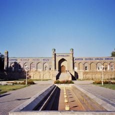
Palace of Khudáyár Khán
42.7 km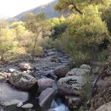
Chatkal National Park
89.5 km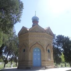
Chapel of Saint Alexander Nevsky
75.4 km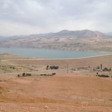
Akhangaran reservoir
84.7 km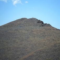
Gora Babaytag
88.1 km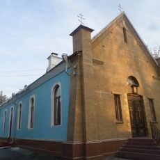
Church of St. Sergiuy Radonezhkogo in Fergana
71.9 km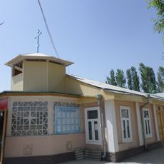
Church in Andijan
98.7 km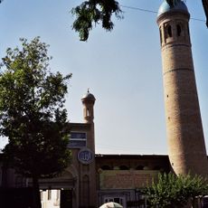
Khonakhan Mosque
62.1 km
Karkidon Reservoir
88.3 km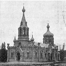
Храм Николая Чудотворца
73.7 km
Church of St. Archangel Michael in Namangan 1894
42.3 km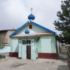
Church of St. Archangel Michael in Namangan 1952
42.9 km
Church of St. Nicholay Chudotvortsa in Andijan
98.6 km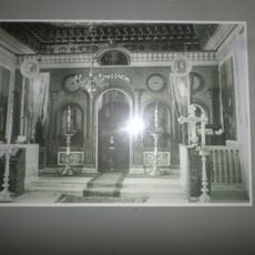
Church of Saints Constantine and Helena
43.3 km
Akbarobod natural monument
84.4 km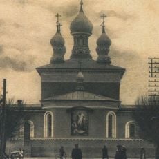
Saint Nicholas church
41.2 km
Chust natural monument
33.1 km
Mingbulak natural monument
17.5 km
Church of St. Sergiy Radonezhckogo in Andijan
98.4 km
Bostonbuva natural monument
23.9 km
Yazyavan natural monument
29.9 km
Zilkha natural monument
64.4 km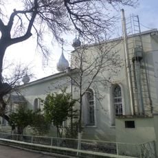
Church of the Theotokos of Kazan
43.3 km
Rodnik Say-Bulak
98 km
Rodnik Deng-Bulak
94.6 km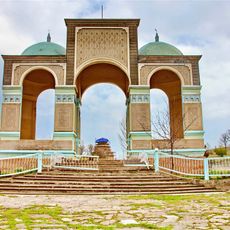
Shah Fazil Mausoleum
73.4 km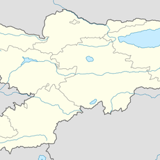
Rodnik Toguz-Bulak (tubud sa Kirgistan, Osh Oblasty, lat 40,36, long 72,15)
98.4 km
Rodnik Tal-Bulak
93.2 kmReviews
Visited this place? Tap the stars to rate it and share your experience / photos with the community! Try now! You can cancel it anytime.
Discover hidden gems everywhere you go!
From secret cafés to breathtaking viewpoints, skip the crowded tourist spots and find places that match your style. Our app makes it easy with voice search, smart filtering, route optimization, and insider tips from travelers worldwide. Download now for the complete mobile experience.

A unique approach to discovering new places❞
— Le Figaro
All the places worth exploring❞
— France Info
A tailor-made excursion in just a few clicks❞
— 20 Minutes