Municipio El Hatillo, Municipality in Miranda, Venezuela
Municipio El Hatillo is a municipality in Miranda state within the metropolitan area of Caracas, located to its southeast. The territory sits at elevations ranging from roughly 1,100 to 1,350 meters (3,600 to 4,400 feet) and contains a mix of residential areas, farmland, and forested slopes.
The area was founded in 1784 by Baltazar de León as a farming settlement that grew gradually over the following centuries. It only became an independent municipality in 1991, marking its transition from a colonial outpost to an autonomous administrative entity.
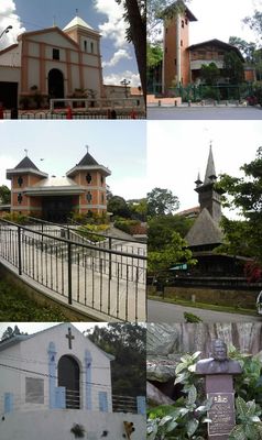
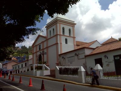
The Church of Santa Rosalía de Palermo anchors the colonial town center as a National Historic Monument. It reflects how the community values its religious roots and uses the surrounding plaza as a gathering place for local life.
The high elevation means temperatures stay moderate year-round, ranging from about 10 to 29°C (50 to 84°F), with cooler mornings and warmer afternoons. Visitors should dress in layers since mountain weather can change quickly, especially when clouds roll in.
Mountain cloud forests shelter native yagrumo and ceiba trees alongside fruit orchards planted at high altitudes. These plants thrive in the moist, cool mountain environment and create a lush landscape quite different from the lowlands.
The community of curious travelers
AroundUs brings together thousands of curated places, local tips, and hidden gems, enriched daily by 60,000 contributors worldwide.