Enable Location

We need your location to show you interesting places around you

Discover nearby places

Find interesting locations and hidden gems around you

Precise directions

Get accurate directions and distances to places

Your location is never shared with other users. It's only used when you tap the location button.

Miranda

Log in to your account

Start exploring — it's free

Trusted by 63,125 travelers worldwide

Continue with Google
Continue with Apple
or

We will send you a code to connect

By continuing, you accept our Terms and Conditions and our Privacy Policy

Check your inbox

We've sent a pincode in your inbox. Please enter the code below.

Discussion Reviews 1 Photos
121k Popularity

Miranda, State region in northern Venezuela

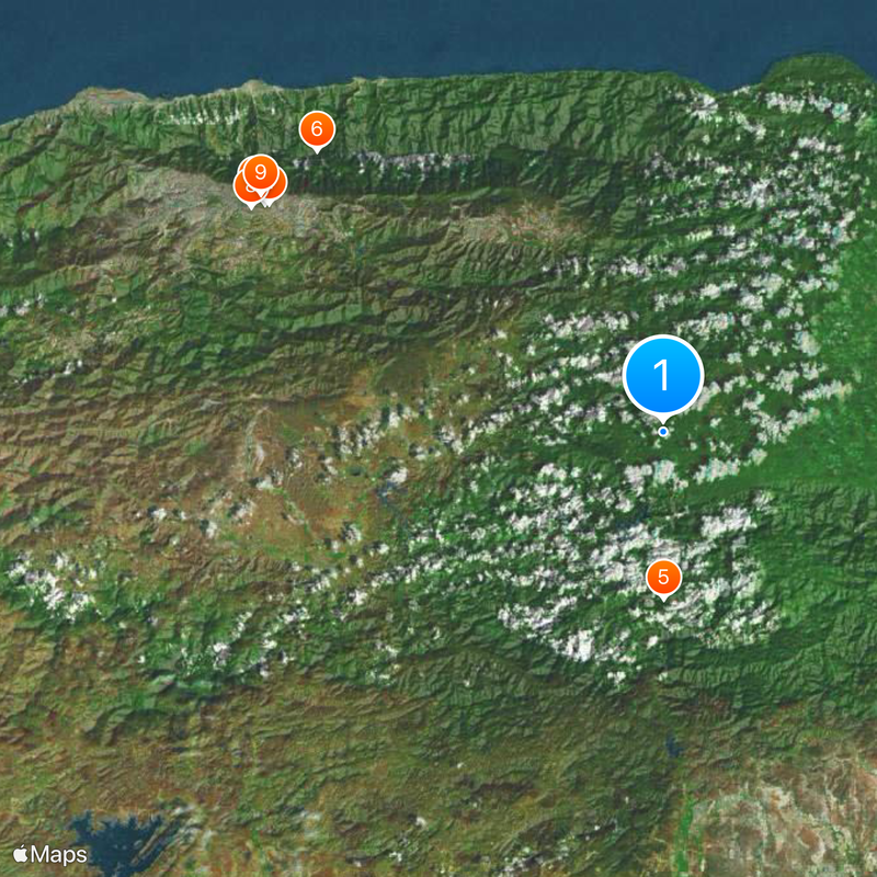
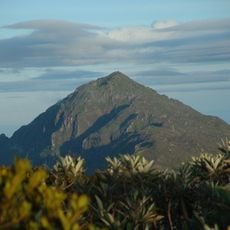
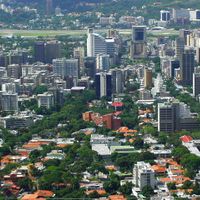
Miranda is a state in northern Venezuela that extends from the Caribbean coast inland toward mountain ranges crossed by the Tuy River. The region connects coastal plains with highland valleys, forming a geographic transition between the Andes and the Caribbean shore.

The territory was home to the Caracas, Teques and Mariches peoples before Spanish arrival. Colonial powers converted the area into a farming zone for wheat, cacao and other crops.

The state maintains numerous agricultural traditions, including the cultivation of cacao in Barlovento, which produces almost half of Venezuela's total output.

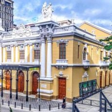
Los Teques serves as the capital and links by highway to the nearby metropolis of Caracas. Coastal municipalities and the Barlovento area are reached by roads that wind through valleys and hilly terrain.

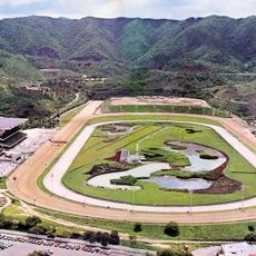
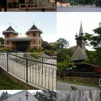
The region unites twenty-one municipalities with widely varying character, from dense suburbs near Caracas to plantations and fishing villages along the sea. This diversity makes the state one of the most contrasting administrative areas in the country.

The community of curious travelers

AroundUs brings together thousands of curated places, local tips, and hidden gems, enriched daily by 60,000 contributors worldwide.

Start exploring
Location
Inception
1909
Capital city
Los Teques
Elevation above the sea
63 m
Reference
MI
Shares border with
Anzoátegui, Guárico, Aragua, Vargas state, Capital District
GPS coordinates
10.25000,-66.41667
Latest update
December 14, 2025 22:23
Reviews
Share your experience

No review yet

Discussions
Start a discussion...

No discussion yet

« Miranda - State region in northern Venezuela » is provided by Around Us (aroundus.com). Images and texts are derived from Wikimedia project under a Creative Commons license. You are allowed to copy, distribute, and modify copies of this page, under the conditions set by the license, as long as this note is clearly visible.

Discover hidden gems everywhere you go!

From secret cafés to breathtaking viewpoints, skip the crowded tourist spots and find places that match your style. Our app makes it easy with voice search, smart filtering, route optimization, and insider tips from travelers worldwide. Download now for the complete mobile experience.

Around Us App Screenshot

A unique approach to discovering new places

Le Figaro

All the places worth exploring

France Info

A tailor-made excursion in just a few clicks

20 Minutes

Around Us
Travel Guide & Maps
Download

Send to your phone

QR Code
1

Open the camera app on your mobile.

2

Point at the QR code with your camera. A notification will appear.

3

Tap the notification to open the link.