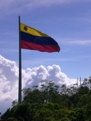
El Avila National park, National park in Coastal Range, Venezuela
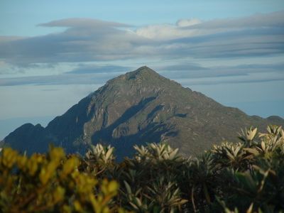
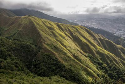
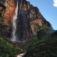
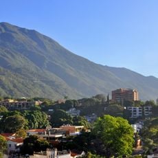
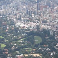
The park stretches across mountain terrain separating the capital from the Caribbean coast, covering three administrative regions. Its highest peaks rise over 2700 meters, creating a natural wall between the urban area and the ocean.
The government granted the area national park status in December 1958, continuing protection efforts that had started in the 19th century. This decision followed decades of growing concern about preserving the mountain forests near the capital.
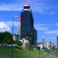
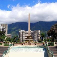
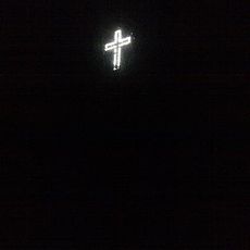
Local residents refer to El Avila as the lungs of Caracas, where a large illuminated crucifix appears each December marking the arrival of winter weather.
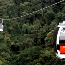
Multiple entry points allow visitors to enter the protected area, with trails available for different skill levels. Most routes start from the capital's outskirts and pass through different elevation zones with changing temperatures.
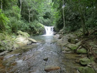
The forests shelter more than 500 bird species, representing over one-third of all bird species found in the country. The area also supports 120 mammal species and over 100 different butterfly species.
The community of curious travelers
AroundUs brings together thousands of curated places, local tips, and hidden gems, enriched daily by 60,000 contributors worldwide.