Enable Location

We need your location to show you interesting places around you

Discover nearby places

Find interesting locations and hidden gems around you

Precise directions

Get accurate directions and distances to places

Your location is never shared with other users. It's only used when you tap the location button.

Vargas state

Log in to your account

Join the adventure

Create your free account and start exploring (like 60k+ others)

We will send you a code to connect

or
Continue with Google
Continue with Apple
By continuing, you accept our Terms and Conditions and our Privacy Policy

Check your inbox

We've sent a pincode in your inbox. Please enter the code below.

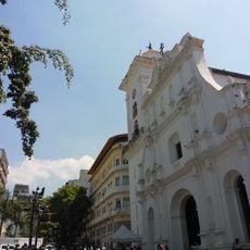
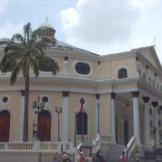
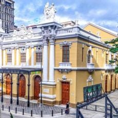
Vargas state, Administrative state on Caribbean coast, Venezuela

Description

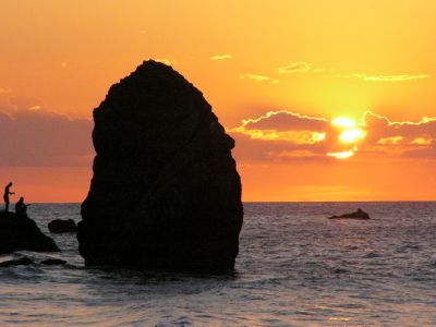
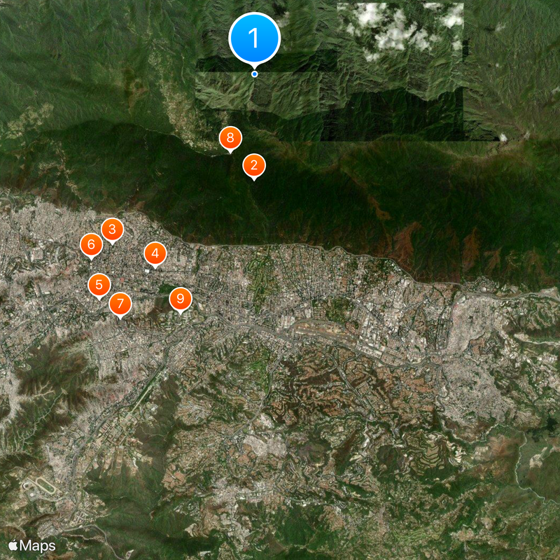
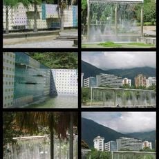
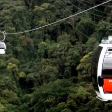
Vargas is an administrative state along the Venezuelan Caribbean coast, stretching between sea and mountains and forming the gateway to El Ávila National Park. The coastline connects beach settlements with steep slopes that rise quickly from sea level to forested heights.

History

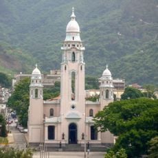
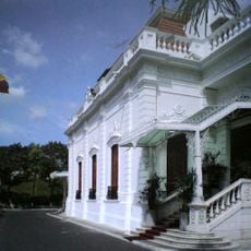
The territory became Venezuela's 23rd state in 1998 through an administrative reform that separated it from the capital district. In December 1999, heavy rains and landslides reshaped the coastal landscape and led to the rebuilding of many settlements.

Culture

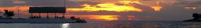
In Naiguatá and other coastal towns, masked groups dance to drums during the devils celebrations, a tradition that blends African and Catholic customs. Fishermen head out in small boats early in the morning and sell their catch directly on the beach, while families gather in simple restaurants to share seafood dishes.

Practical

The coastal road connects settlements along the sea and provides access to beaches, while mountain trails lead to hikes into higher elevations. Simón Bolívar International Airport is located in Maiquetía and serves as the main hub for flights to Venezuela.

Did you know?

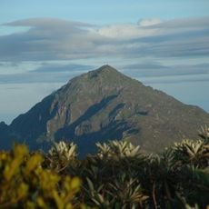
The steep slopes between coast and mountain ridge form one of the shortest transitions from sea level to over 2000 meters (6500 feet) in the Caribbean. In some places, you can climb from the beach to cloud forests with completely different temperatures and vegetation in just a few hours.

Location
Inception
1589
Capital city
La Guaira
Elevation above the sea
1,110 m
Shares border with
Aragua, Miranda, Capital District
GPS coordinates
10.56667,-66.86667
Latest update
December 15, 2025 11:05

AroundUs brings together thousands of curated places, local tips, and hidden gems, enriched daily by 60,000 contributors worldwide. Discover all places nearby (Venezuela).

Administrative divisions
« Vargas state - Administrative state on Caribbean coast, Venezuela » is provided by Around Us (aroundus.com). Images and texts are derived from Wikimedia project under a Creative Commons license. You are allowed to copy, distribute, and modify copies of this page, under the conditions set by the license, as long as this note is clearly visible.

Discover hidden gems everywhere you go!

From secret cafés to breathtaking viewpoints, skip the crowded tourist spots and find places that match your style. Our app makes it easy with voice search, smart filtering, route optimization, and insider tips from travelers worldwide. Download now for the complete mobile experience.

Around Us App Screenshot

A unique approach to discovering new places

Le Figaro

All the places worth exploring

France Info

A tailor-made excursion in just a few clicks

20 Minutes

Around Us
Travel Guide & Maps
Download

Send to your phone

QR Code
1

Open the camera app on your mobile.

2

Point at the QR code with your camera. A notification will appear.

3

Tap the notification to open the link.