
Cajigal, municipality in the state of Sucre, Venezuela
Location: Sucre
Elevation above the sea: 16 m
Website: http://alcaldiadecajigal.wordpress.com
GPS coordinates: 10.56970,-62.82920
Latest update: April 8, 2025 18:34

El Guacharo National Park
90.9 km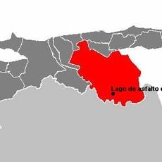
Lake Bermudez
41.8 km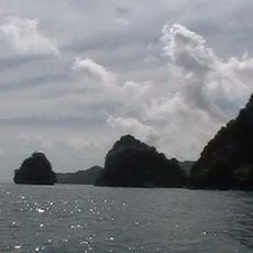
Peninsula de Paria National Park
59.2 km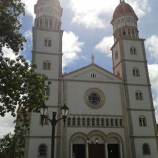
Cathedral of Our Lady of Mount Carmel, Maturín
99.2 km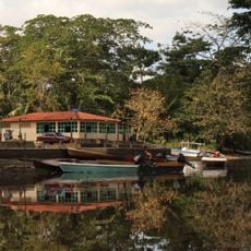
Turuepano National Park
15.4 km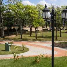
La Guaricha Zoo
99.2 km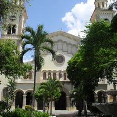
St. Rose of Lima Cathedral
47.1 km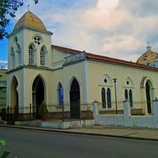
Iglesia de San Simón (Maturín)
99.3 km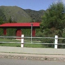
Iglesia de San Agustín
87.8 km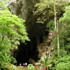
Cueva del Guacharo
90.9 km
Playa de Uva
27.1 km
Alexander Humboldt Natural Monument
90.9 km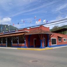
Hotel Samán
86.1 km
Selva del Guarapiche Forest Reserve
62.9 km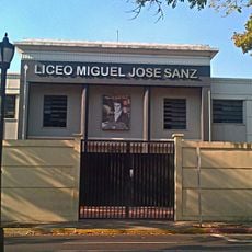
Liceo Miguel José Sanz
99.1 km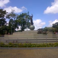
Monumento conmemorativo a Juana La Avanzadora
99.4 km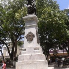
Plaza Bolívar (Maturín)
99.3 km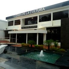
Casa de la Cultura
99.1 km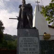
Plaza Bolívar de Caripe
85.8 km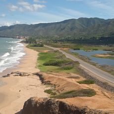
Playa de Zalaya
95.5 km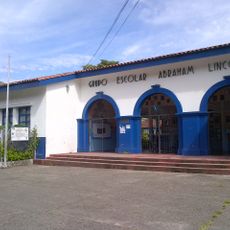
Grupo Escolar Abraham Lincoln
86.1 km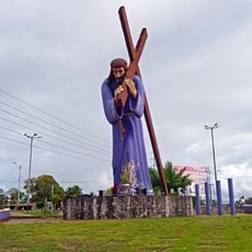
Monumento al Nazareno
60.9 km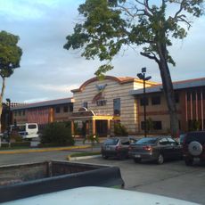
Universidad Bolivariana de Venezuela (núcleo Monagas)
99.5 km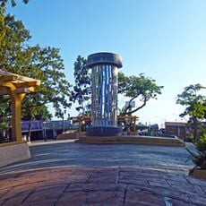
Plaza del estudiante
99.3 km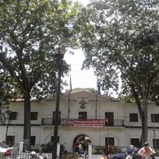
Palacio de gobierno del Estado Monagas
99.4 km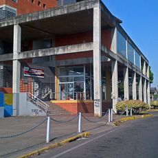
Complejo cultural de Maturín
99.2 km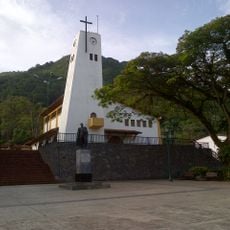
Iglesia Santo Ángel Custodio
85.9 km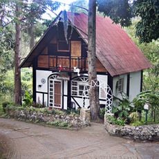
Cabañas Bellerman
87.9 kmReviews
Visited this place? Tap the stars to rate it and share your experience / photos with the community! Try now! You can cancel it anytime.
Discover hidden gems everywhere you go!
From secret cafés to breathtaking viewpoints, skip the crowded tourist spots and find places that match your style. Our app makes it easy with voice search, smart filtering, route optimization, and insider tips from travelers worldwide. Download now for the complete mobile experience.

A unique approach to discovering new places❞
— Le Figaro
All the places worth exploring❞
— France Info
A tailor-made excursion in just a few clicks❞
— 20 Minutes