Sucre, Administrative state in northeastern Venezuela
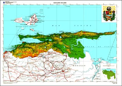
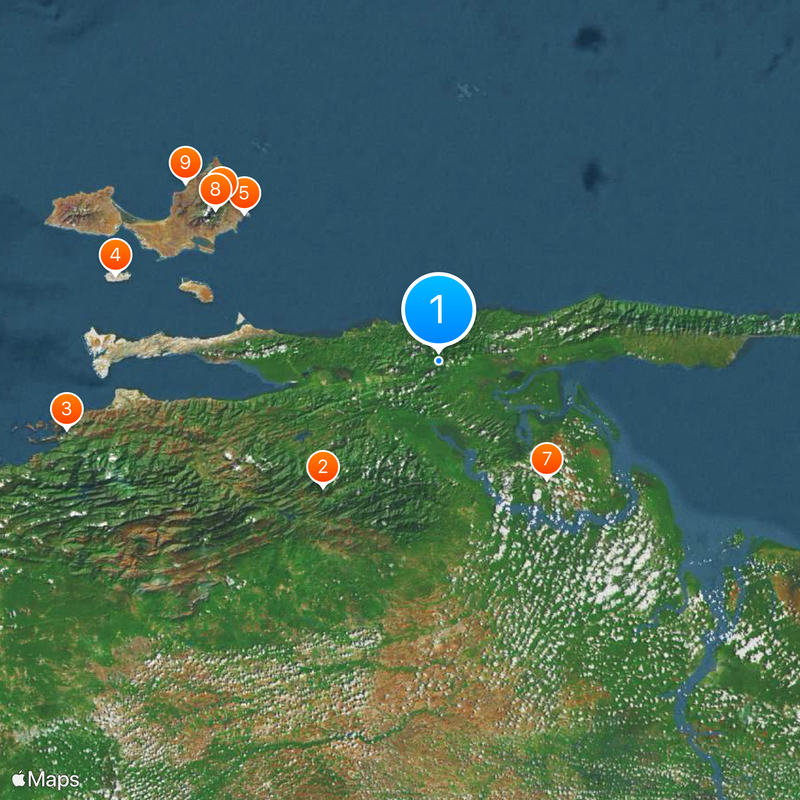
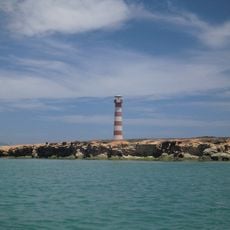
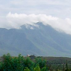
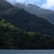
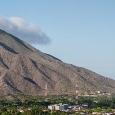
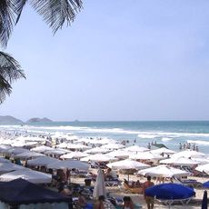
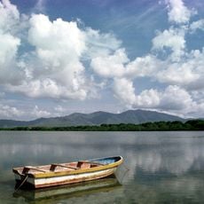
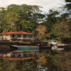
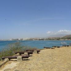
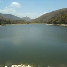
Sucre is an administrative division in northeastern Venezuela that stretches along the Caribbean coast and the Gulf of Paria, covering mountains, coastal plains, and farming areas. The landscape shifts between inland ranges and flat zones near the water, with access to the Caribbean Sea shaping the economy and daily routines.
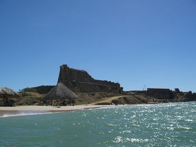
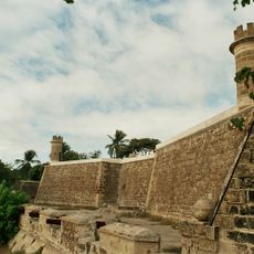
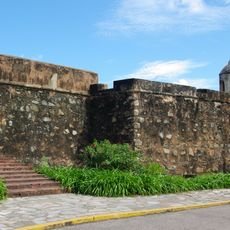
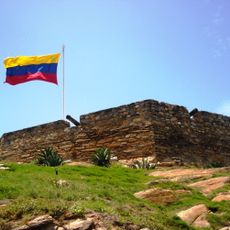
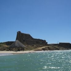
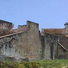
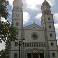
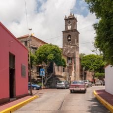
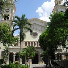
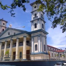
Cumaná, the capital of the division, was founded in 1521 by Gonzalo de Ocampo and ranks among the earliest European settlements on the South American continent. This settlement marked the start of a long history of European influence in the region, shaping economic and cultural developments over the centuries.
The regional cuisine incorporates fresh seafood from the Caribbean waters, with local specialties like calalú de Paria and gofio reflecting centuries of culinary traditions.
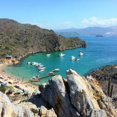
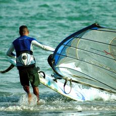
The division is shaped by its coastal location, with fishing and farming driving much of the economy and structuring daily life along the shoreline settlements. Travelers find a mix of urban centers and rural communities linked by road connections throughout the area.
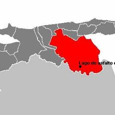
Lake Guanoco holds natural asphalt deposits that rank among the few such sites worldwide, forming spontaneously at the surface. The Araya Peninsula has supplied salt for centuries, once shipped over long distances and marking the region as a source of raw materials.
The community of curious travelers
AroundUs brings together thousands of curated places, local tips, and hidden gems, enriched daily by 60,000 contributors worldwide.