Enable Location

We need your location to show you interesting places around you

Discover nearby places

Find interesting locations and hidden gems around you

Precise directions

Get accurate directions and distances to places

Your location is never shared with other users. It's only used when you tap the location button.

Cerros Guayamurí y Matasiete Natural Monument

Log in to your account

Start exploring — it's free

Trusted by 64,836 travelers worldwide

Continue with Google
Continue with Apple
or

We will send you a code to connect

By continuing, you accept our Terms and Conditions and our Privacy Policy

Check your inbox

We've sent a pincode in your inbox. Please enter the code below.

Cerros Guayamurí y Matasiete Natural Monument
Discussion Reviews 3 Photos
6.6k Popularity

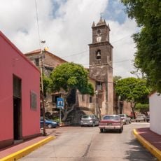
Cerros Guayamurí y Matasiete Natural Monument, Natural monument in La Asuncion, Venezuela.

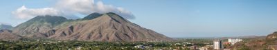
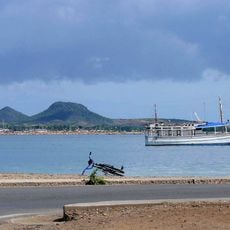
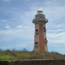
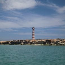
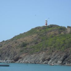
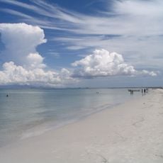
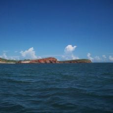
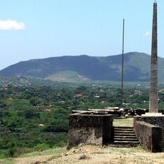
Cerros Guayamurí y Matasiete Natural Monument is a protected area on Margarita Island in the state of Nueva Esparta, made up of two hills of different heights separated by a lower valley between them. Both hills are covered in dry tropical forest and crossed by a network of trails that connect to viewpoints overlooking the island and the surrounding sea.

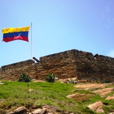
Cerro Matasiete was where a turning-point battle took place in 1817 during Venezuela's war of independence, when local defenders used the steep slopes to repel Spanish troops. That victory gave these hills a lasting place in the memory of the region and the country.

The hills are part of daily life for people on Margarita Island, where local families have long gathered medicinal plants that grow on the dry slopes. Visitors who walk the trails can still spot some of these plants, which gives the landscape a meaning beyond its natural setting.

A main road runs around both hills, making it easy to reach the trailheads from different points on the island. The climate is dry and hot, so solid footwear and plenty of water are worth bringing before heading onto the trails.

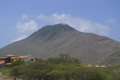
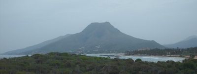
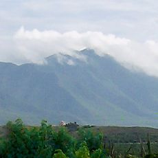
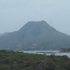
When seen from certain points on the island, the outline of Cerro Guayamuri looks remarkably similar to Mount Fuji in Japan. This has made that particular angle a favorite spot for photographs among both locals and visitors.

The community of curious travelers

AroundUs brings together thousands of curated places, local tips, and hidden gems, enriched daily by 60,000 contributors worldwide.

Start exploring
Location
Inception
February 27, 1974
Operator
Inparques
GPS coordinates
11.06646,-63.83866
Latest update
March 3, 2026 10:10
Reviews
Share your experience

No review yet

Discussions
Start a discussion...

No discussion yet

« Cerros Guayamurí y Matasiete Natural Monument - Natural monument in La Asuncion, Venezuela » is provided by Around Us (aroundus.com). Images and texts are derived from Wikimedia project under a Creative Commons license. You are allowed to copy, distribute, and modify copies of this page, under the conditions set by the license, as long as this note is clearly visible.

Discover hidden gems everywhere you go!

From secret cafés to breathtaking viewpoints, skip the crowded tourist spots and find places that match your style. Our app makes it easy with voice search, smart filtering, route optimization, and insider tips from travelers worldwide. Download now for the complete mobile experience.

Around Us App Screenshot

A unique approach to discovering new places

Le Figaro

All the places worth exploring

France Info

A tailor-made excursion in just a few clicks

20 Minutes

Around Us
Travel Guide & Maps
Download

Send to your phone

QR Code
1

Open the camera app on your mobile.

2

Point at the QR code with your camera. A notification will appear.

3

Tap the notification to open the link.