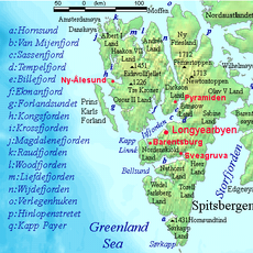
North East Land, Arctic island in Svalbard, Norway
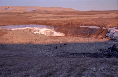
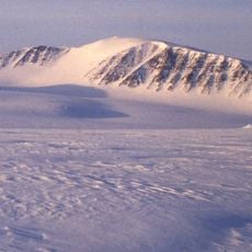
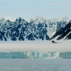
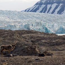
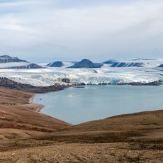
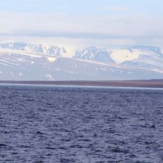
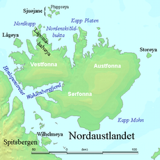
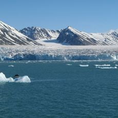
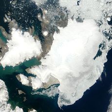
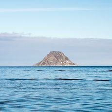
Nordaustlandet is the second-largest island in the Svalbard archipelago, covering roughly 14,000 square kilometers. The landmass is dominated by two massive ice caps that cover most of its surface, creating a snow-covered landscape with only scattered rock formations visible.
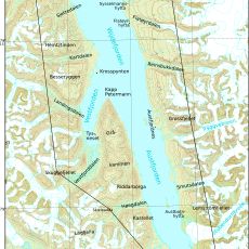
English whale hunters first documented the southern part of the island in the early 1600s. These early visits led to the island being mapped on Dutch maritime charts shortly afterward.
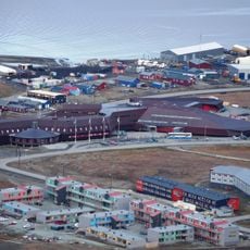
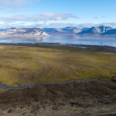
The island functions as a research outpost where scientists observe glacial movement and Arctic life. Visitors come here to experience nature in one of its most remote and raw forms.
The island can only be reached by organized expedition vessels navigating the Hinlopen Strait during summer months. Visitors should prepare for extreme weather conditions and limited windows of accessibility.
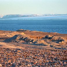
Polar bears regularly roam the few ice-free areas in search of food and use exposed rock faces as landmarks. These movements show how the animals have adapted to survive in one of Earth's harshest ecosystems.
The community of curious travelers
AroundUs brings together thousands of curated places, local tips, and hidden gems, enriched daily by 60,000 contributors worldwide.