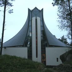
Gandsfjord, Norwegian fjord in Stavanger and Sandnes Municipality, Norway
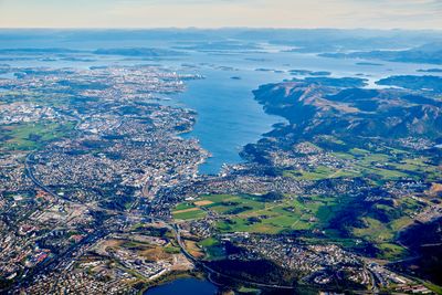
Gandsfjord is a waterway stretching roughly 13 kilometers between Stavanger and Sandnes, with depths reaching 244 meters in some sections. It connects to the larger Boknafjorden while separating flat developed areas on the western side from mountainous terrain on the eastern side.
The name originates from the Old Norse word 'gandr', which refers to the straight path this waterway takes through the landscape. Over time the fjord became an important transportation route connecting the developing settlements of Stavanger and Sandnes.
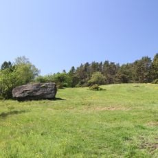
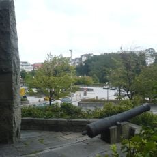
The eastern shores serve as a recreational hub where local people regularly walk the marked paths and spend time outdoors. The waterway has deep roots in the daily life of nearby communities who maintain a strong relationship with these natural surroundings.
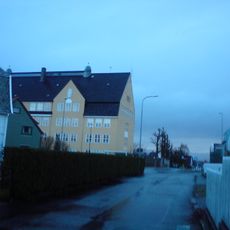
The western shore with towns like Hillevåg, Hinna, and Forus is well connected by Road 44 and railway tracks with good access points. The eastern shore offers more than 30 kilometers of marked hiking trails for visitors seeking to explore the mountainous terrain.
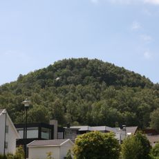
The waterway displays a striking contrast between its two shores: flat urban terrain on the west meets steep mountainsides rising to 350 meters on the east. This dramatic landscape division makes each side feel like a different experience when exploring.
The community of curious travelers
AroundUs brings together thousands of curated places, local tips, and hidden gems, enriched daily by 60,000 contributors worldwide.