
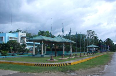
Catigbian, municipality of the Philippines in the province of Bohol
Location: Bohol
Inception: June 17, 1949
Elevation above the sea: 217 m
Shares border with: Clarin, Balilihan, San Isidro, Batuan, Sagbayan
GPS coordinates: 9.83333,124.03333
Latest update: March 21, 2025 17:05
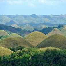
Chocolate Hills
17.3 km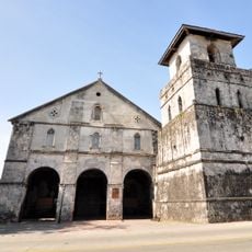
Baclayon Church
26.9 km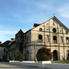
Loboc Church
22 km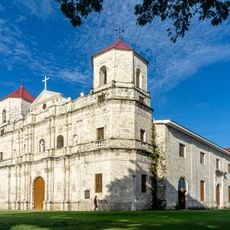
Loon Church
26.7 km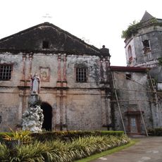
Santa Cruz Parish Church
23 km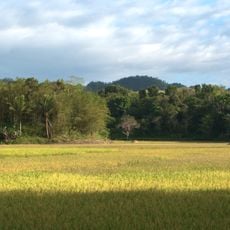
Rajah Sikatuna Protected Landscape
23 km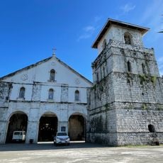
Baclayon Church
26.9 km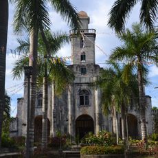
Alburquerque Church
26.1 km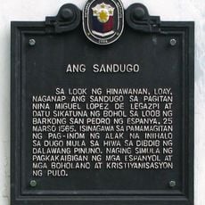
The Blood Compact historical marker
25.6 km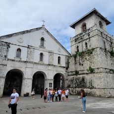
Baclayon Art Museum
26.9 km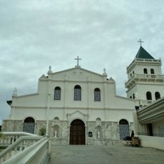
Tubigon Church
15.1 km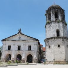
Loay Church
26 km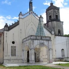
Inabanga Church
22.1 km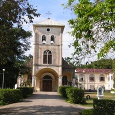
Balilihan Church
10.8 km
Sagbayan Peak Park
11.2 km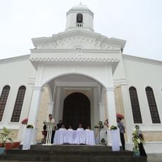
Carmen Church
18.2 km
Sikatuna’s Mirror of the World and Botanical Garden
19.2 km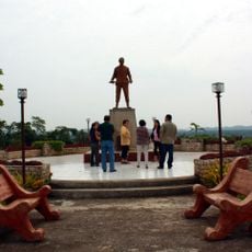
Dagohoy Monument
21.7 km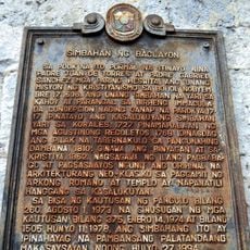
Church of Baclayon historical marker
27 km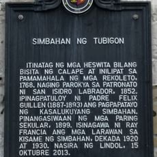
Church of Tubigon historical marker
15.2 km
Sevilla Twin Hanging Bridge
17.7 km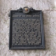
Church of San Pedro Apostol historical marker
21.9 km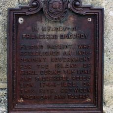
In Memory of Francisco Dagohoy historical marker
21.7 km
Balilihan Belfry
10.8 km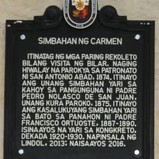
Church of Carmen historical marker
18.2 km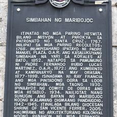
Church of Maribojoc historical marker
23.2 km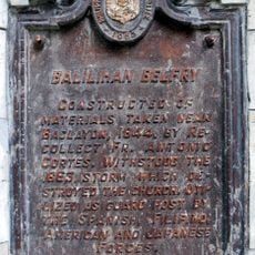
Balilihan Belfry historical marker
10.8 km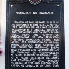
Church of Inabanga historical marker
22.1 kmReviews
Visited this place? Tap the stars to rate it and share your experience / photos with the community! Try now! You can cancel it anytime.
Discover hidden gems everywhere you go!
From secret cafés to breathtaking viewpoints, skip the crowded tourist spots and find places that match your style. Our app makes it easy with voice search, smart filtering, route optimization, and insider tips from travelers worldwide. Download now for the complete mobile experience.

A unique approach to discovering new places❞
— Le Figaro
All the places worth exploring❞
— France Info
A tailor-made excursion in just a few clicks❞
— 20 Minutes