
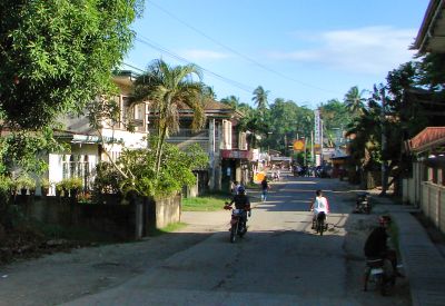
Inabanga, municipality of the Philippines in the province of Bohol
Location: Bohol
Elevation above the sea: 9 m
Shares border with: Buenavista, Clarin, Sagbayan, Danao
Website: http://inabanga.gov.ph
GPS coordinates: 10.03333,124.06667
Latest update: March 3, 2025 02:06
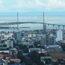
Cebu–Cordova Link Expressway
32.9 km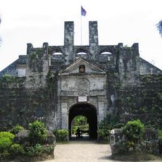
Fort San Pedro
33.8 km
Malacañang sa Sugbo
33.8 km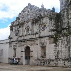
Talibon Cathedral
31.3 km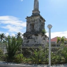
Magellan Monument
31.4 km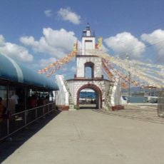
Muelle Osmeña Lighthouse
33.8 km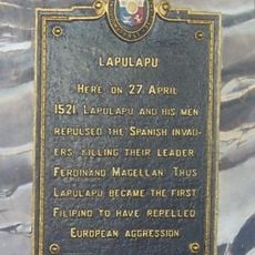
Lapulapu historical marker
31.4 km
Nalusuan Island
19 km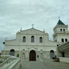
Tubigon Church
14.7 km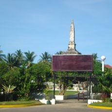
Liberty Shrine
31.4 km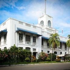
National Musuem of the Philippines - Cebu
33.8 km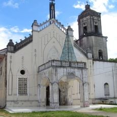
Inabanga Church
574 m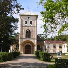
Balilihan Church
32.4 km
Sagbayan Peak Park
12 km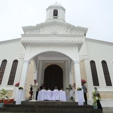
Carmen Church
27.4 km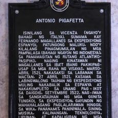
Antonio Pigafetta historical marker
33.8 km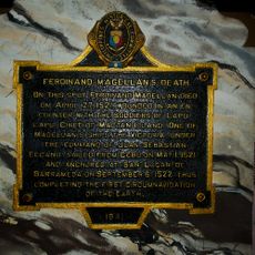
Ferdinand Magellan’s Death historical marker
31.4 km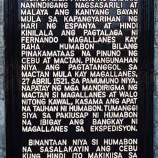
Lapulapu historical marker
31.4 km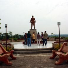
Dagohoy Monument
15.3 km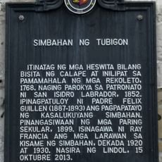
Church of Tubigon historical marker
14.7 km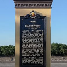
Mactan quincentennial historical marker
31.5 km
Campanario Shoal
31.4 km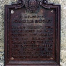
In Memory of Francisco Dagohoy historical marker
15.3 km
Balilihan Belfry
32.5 km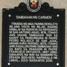
Church of Carmen historical marker
27.4 km
Ferdinand Magellan historical marker
31.4 km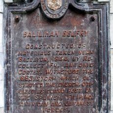
Balilihan Belfry historical marker
32.5 km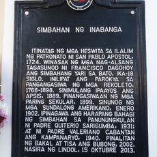
Church of Inabanga historical marker
533 mVisited this place? Tap the stars to rate it and share your experience / photos with the community! Try now! You can cancel it anytime.
Discover hidden gems everywhere you go!
From secret cafés to breathtaking viewpoints, skip the crowded tourist spots and find places that match your style. Our app makes it easy with voice search, smart filtering, route optimization, and insider tips from travelers worldwide. Download now for the complete mobile experience.

A unique approach to discovering new places❞
— Le Figaro
All the places worth exploring❞
— France Info
A tailor-made excursion in just a few clicks❞
— 20 Minutes