
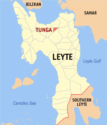
Tunga, municipality of the Philippines in the province of Leyte
Location: Leyte
Inception: November 15, 1949
Elevation above the sea: 56.9 m
Shares border with: Carigara
Website: https://tunga.gov.ph
GPS coordinates: 11.25000,124.75000
Latest update: March 31, 2025 22:42
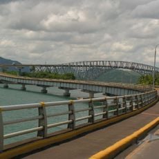
San Juanico Bridge
24.9 km
MacArthur Landing Memorial National Park
29.9 km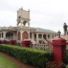
Price Mansion
27.8 km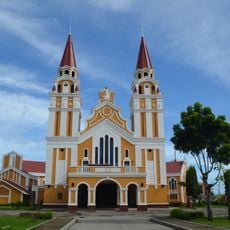
Palo Cathedral
28.2 km
Leyte Provincial Capitol
27.7 km
Biliran Watchtower
37.9 km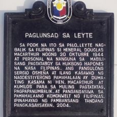
Leyte Landing historical marker
29.9 km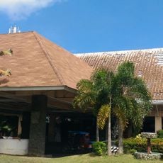
Leyte Park
28 km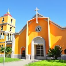
Tanauan Church
33 km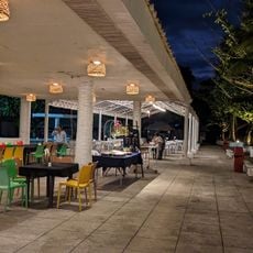
Patio Victoria Baluarte Beach Resort
30.7 km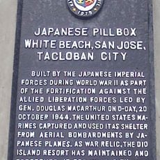
Japanese Pillbox historical marker
30.7 km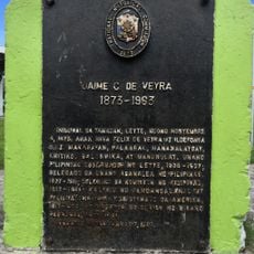
Jaime C. de Veyra historical marker
33 km
Basey Church
35.1 km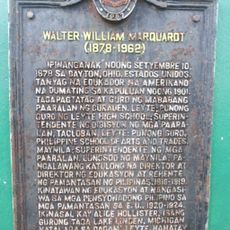
Walter William Marquardt historical marker
34.2 km
Biliran Watchtower historical marker
37.9 km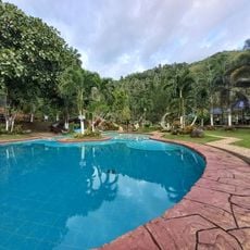
Sibugay Mountain Resort
34.7 km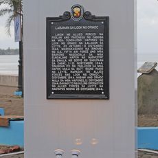
Battle of Ormoc Bay historical marker
31.4 km
Church of Basey historical marker
35.1 km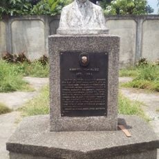
Norberto Romualdez historical marker
34.5 km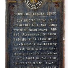
Church of Tanauan, Leyte historical marker
33 km
Capitol Building of the Philippines historical marker
27.7 km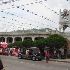
Price Mansion
27.8 km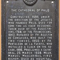
The Cathedral of Palo historical marker
28.3 km
Barugo Municipal Hall
8.6 km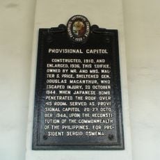
Provisional Capitol historical marker
27.8 km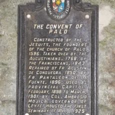
The Convent of Palo historical marker
28.3 km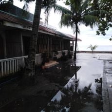
San Rafael Beach
34.3 km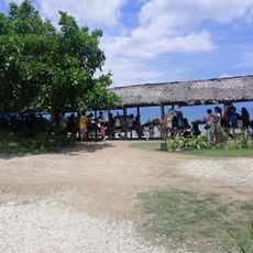
Bawok-bawok Beach
38.6 kmReviews
Visited this place? Tap the stars to rate it and share your experience / photos with the community! Try now! You can cancel it anytime.
Discover hidden gems everywhere you go!
From secret cafés to breathtaking viewpoints, skip the crowded tourist spots and find places that match your style. Our app makes it easy with voice search, smart filtering, route optimization, and insider tips from travelers worldwide. Download now for the complete mobile experience.

A unique approach to discovering new places❞
— Le Figaro
All the places worth exploring❞
— France Info
A tailor-made excursion in just a few clicks❞
— 20 Minutes