
Bacolod-Kalawi, municipality of the Philippines in the province of Lanao del Sur
Location: Lanao del Sur
Elevation above the sea: 877 m
Website: http://www.bacolod-lds.gov.ph/
Shares border with: Munai
Website: http://bacolod-lds.gov.ph
GPS coordinates: 7.85552,124.13983
Latest update: March 20, 2025 17:16
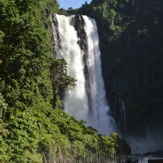
Maria Cristina Falls
37 km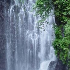
Tinago Falls
34.2 km
Bangsamoro Parliament
74.3 km
Mount Ragang
64.7 km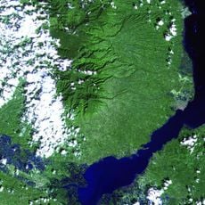
Mount Malindang
68.6 km
Mount Makaturing
28.7 km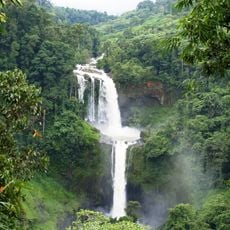
Limunsudan Falls
59.4 km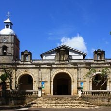
Jimenez Church
62.8 km
Bangsamoro Government Center
74.2 km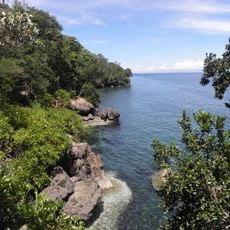
Initao–Libertad Protected Landscape and Seascape
79.1 km
Marawi Cathedral
23.2 km
Cotabato Regional and Medical Center
73.7 km
Tantawan Park
71.5 km
Fort of the Conception and Triumph
45.2 km
Tamontaka Church
75.4 km
Sultan Dipatuan Kudarat historical marker
71.5 km
Pagadian Cathedral
77.4 km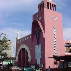
Iligan Cathedral
43 km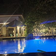
Donel's Beach Resort
65.7 km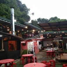
Hillside Food Park
43.2 km
Immaculate Conception Church of Tamontaka historical marker
75.4 km
Notre Dame Archdiocesan Seminary historical marker
68.2 km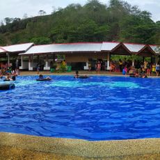
MGG Resort
78.5 km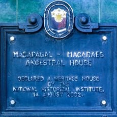
Macapagal-Macaraeg Ancestral House historical marker
37.6 km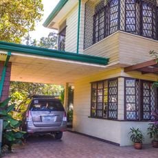
Macapagal-Macaraeg House
37.6 km
Jose F. Ozamiz historical marker
71.6 km
Fort of the Conception and Triumph historical marker
45.3 km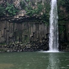
Cathedral Falls Waterworld
40.8 kmReviews
Visited this place? Tap the stars to rate it and share your experience / photos with the community! Try now! You can cancel it anytime.
Discover hidden gems everywhere you go!
From secret cafés to breathtaking viewpoints, skip the crowded tourist spots and find places that match your style. Our app makes it easy with voice search, smart filtering, route optimization, and insider tips from travelers worldwide. Download now for the complete mobile experience.

A unique approach to discovering new places❞
— Le Figaro
All the places worth exploring❞
— France Info
A tailor-made excursion in just a few clicks❞
— 20 Minutes