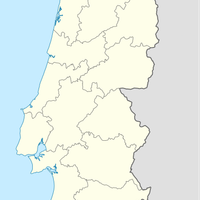
Santarém, Medieval municipality on Tagus River, Portugal
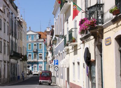
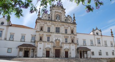
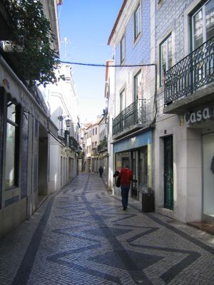
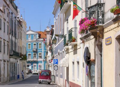
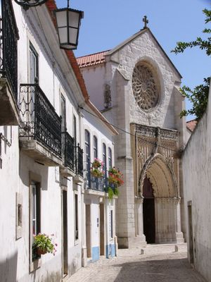
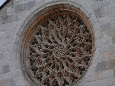
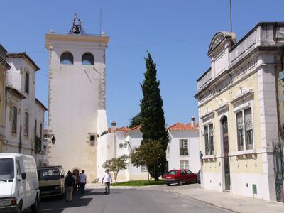
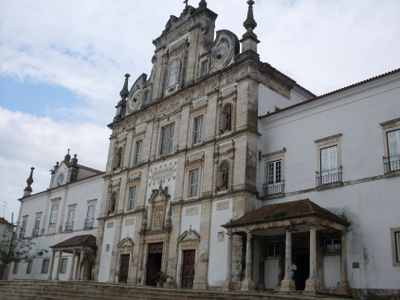
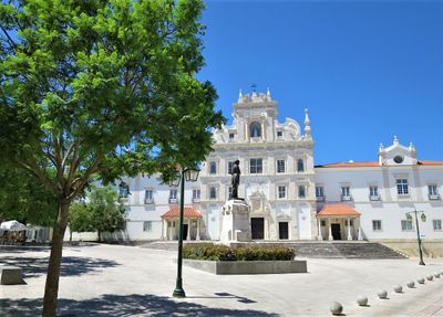
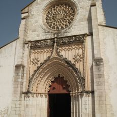
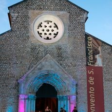
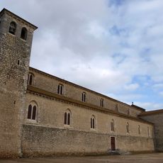
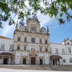
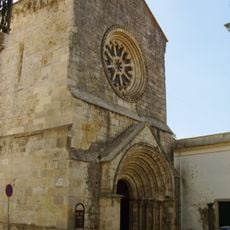
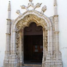
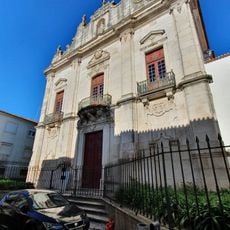
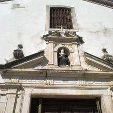
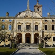
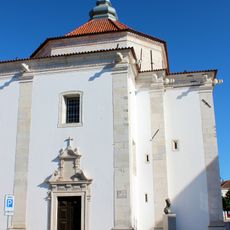
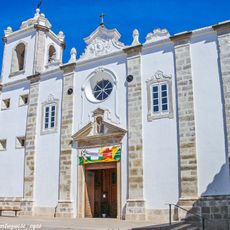
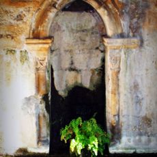
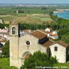
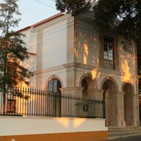
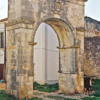
Santarém is a municipality set on a plateau roughly 70 meters (230 feet) above the Tagus in the Ribatejo region. Cobbled lanes connect churches from different centuries, while newer neighborhoods spread below the old town toward the river.
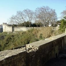
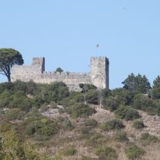
Moorish forces captured the settlement in the 8th century and called it Shantariyya, before Portuguese armies reclaimed it during the 12th century. In the 13th and 14th centuries, the Cortes, the Portuguese parliament, gathered in the town several times.
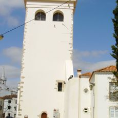
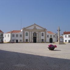
The city takes its name from the Christian martyr Irene, who was venerated at this site during the 7th century. On Tuesdays, a market opens on Praça Sá da Bandeira, where vendors sell cheese, sausages and handwoven baskets from the surrounding countryside.
The historic center can be explored on foot, as most sights stand on the plateau within a short walk. Sunny days between spring and autumn work best for wandering through the narrow lanes.
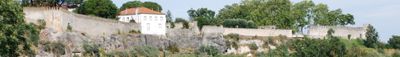
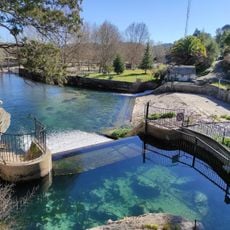
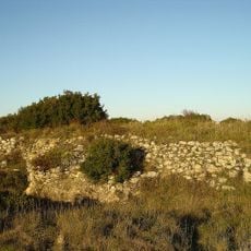
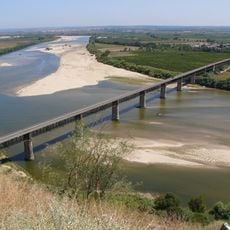
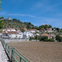
From a public garden at the edge of the plateau, the Jardim das Portas do Sol, you see the river plain with farmland and small settlements in the distance. On clear days, the view reaches the hills south of the river.
The community of curious travelers
AroundUs brings together thousands of curated places, local tips, and hidden gems, enriched daily by 60,000 contributors worldwide.