
Grebenac, human settlement in Serbia
Location: South Banat District
Elevation above the sea: 60 m
GPS coordinates: 44.90000,21.23528
Latest update: March 2, 2025 20:52
Viminacium
18.6 km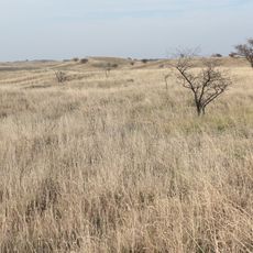
Deliblato sands
18.9 km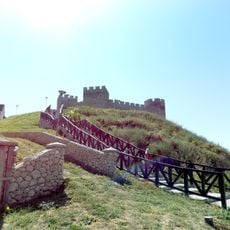
Ram Fortress
12.3 km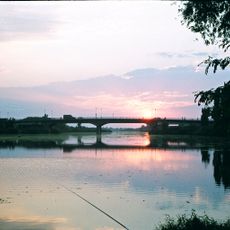
Danube–Tisa–Danube Canal
11.4 km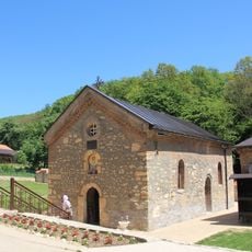
Nimnik Monastery
21.5 km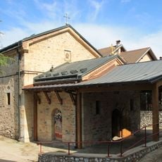
Rukumija Monastery
22.7 km
Bela Crkva lakes
13.7 km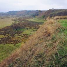
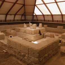
Židovar
6.1 km
Labudovo okno
11.9 km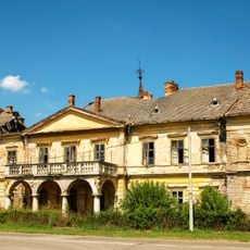
Château de Vlajkovac
19.3 km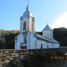
Bazjaš monastery
15.4 km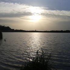
Specijalni rezervat prirode Kraljevac
17.6 km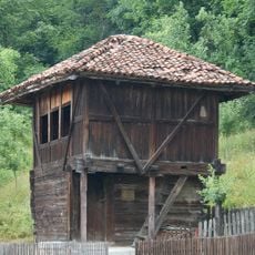
Čardak
12.1 km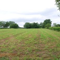
Grad
3.8 km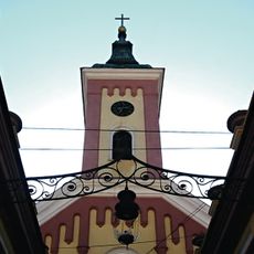
Église Saint-Pierre-et-Saint-Paul de Bela Crkva
15.5 km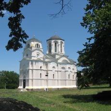
Église Saint-Georges de Kostolac
18 kmÉglise Saint-Théodore-Tiron de Kuštilj
18.8 kmÉglise Saint-Nicolas de Ritiševo
18.1 km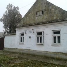
Maison natale de Žarko Zrenjanin
14 km
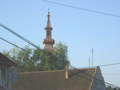
Église de l'Ascension de Grebenac
33 m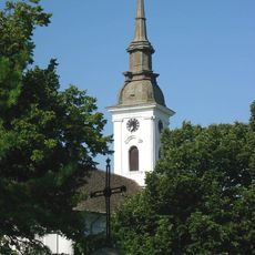
Église de la Translation-des-Reliques-de-Saint-Nicolas de Deliblato
17.1 km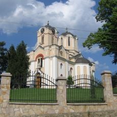
Église Saint-Tryphon de Kličevac
16.5 km
Église de l'Ascension de Potporanj
13.8 km
Église Saint-Nicolas de Kisiljevo
23.3 km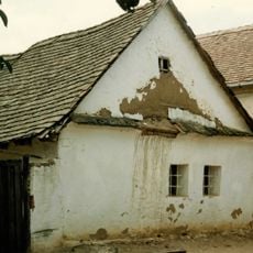
Кућа у Ул. Задружна бб
18.7 km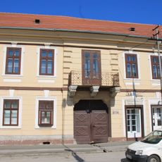
Zgrada muzejske jedinice u Beloj Crkvi
14.9 km
Přístav Baziaș
13.5 km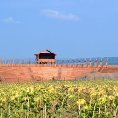
Viminacium amphitheatre
18.1 kmVisited this place? Tap the stars to rate it and share your experience / photos with the community! Try now! You can cancel it anytime.
Discover hidden gems everywhere you go!
From secret cafés to breathtaking viewpoints, skip the crowded tourist spots and find places that match your style. Our app makes it easy with voice search, smart filtering, route optimization, and insider tips from travelers worldwide. Download now for the complete mobile experience.

A unique approach to discovering new places❞
— Le Figaro
All the places worth exploring❞
— France Info
A tailor-made excursion in just a few clicks❞
— 20 Minutes