
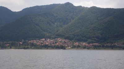
Tekija, village in Serbia
Location: Kladovo
Elevation above the sea: 77 m
GPS coordinates: 44.68472,22.40944
Latest update: June 20, 2025 03:55
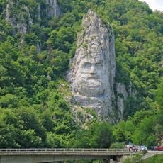
Statue of Decebalus
10.5 km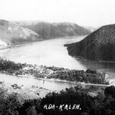
Ada Kaleh
4.8 km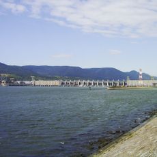
Iron Gate I Hydroelectric Power Station
9.6 km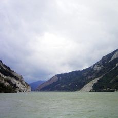
Đerdap national park
8.7 km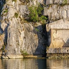
Tabula Traiana
8.7 km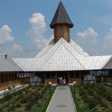
St. Anne's Monastery
3.1 km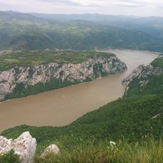
Miroč
14.6 km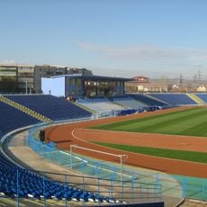
Stadionul Municipal
21 km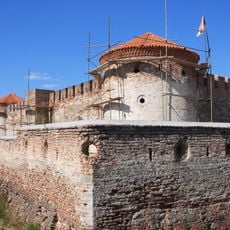
Fetislam
17 km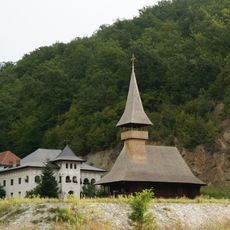
Vodita monastery
8.1 km
Diana Fortress
11.2 km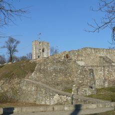
Severin Medieval Fortress
21.3 km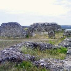
Castra Drobeta
21.5 km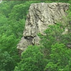
Banater Sphinx
17 km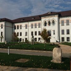
Iron Gates Region Museum
21.4 km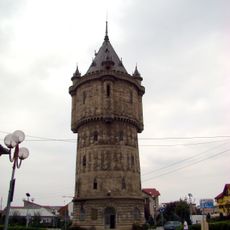
Water tower in Drobeta-Turnu Severin
20.2 km
Decebal hotel in Băile Herculane
22.7 km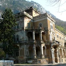
Traian hotel in Băile Herculane
22.6 km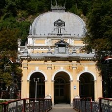
Neptun bathhouse in Băile Herculane
22.7 km
Stadionul Victoria
12.5 km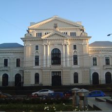
Theodor Costescu Palace of Culture
20.6 km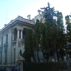
Art Museum in Drobeta-Turnu Severin
20.6 km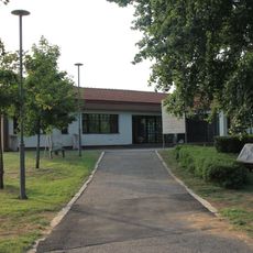
Archaeological Museum of Đerdap
17.8 km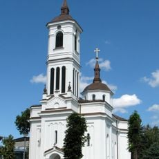
Crkva Sv. Đorđa
17.9 km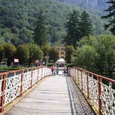
Cast iron bridge over Cerna River
22.7 km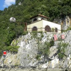
Station de signalisation Pena dans la gorge de Đerdap
13 km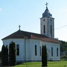
Church of Holy Trinity in Brza Palanka
22.7 km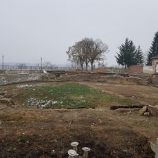
Drobeta amphitheatre
21.4 kmReviews
Visited this place? Tap the stars to rate it and share your experience / photos with the community! Try now! You can cancel it anytime.
Discover hidden gems everywhere you go!
From secret cafés to breathtaking viewpoints, skip the crowded tourist spots and find places that match your style. Our app makes it easy with voice search, smart filtering, route optimization, and insider tips from travelers worldwide. Download now for the complete mobile experience.

A unique approach to discovering new places❞
— Le Figaro
All the places worth exploring❞
— France Info
A tailor-made excursion in just a few clicks❞
— 20 Minutes