Jošanica, human settlement
Location: Žagubica
Elevation above the sea: 407 m
GPS coordinates: 44.27972,21.71111
Latest update: May 12, 2025 19:21
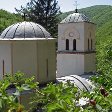
Gornjak Monastery
13.4 km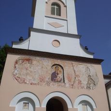
Vitovnica Monastery
17.3 km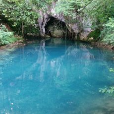
Krupaj spring
13.4 km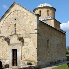
Trška crkva
6.6 km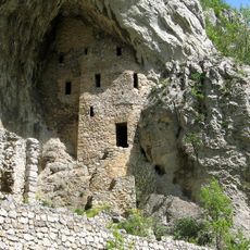
Ruines des monastères de la Métropole et de l'Annonciation
13.9 km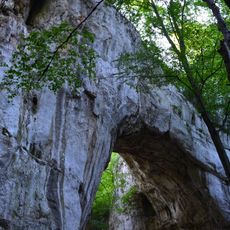
Prerast Samar
4.3 km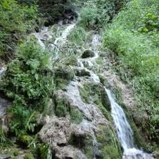
Строги природни резерват Фељешана
16.2 km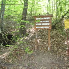
Хомољска потајница
8 km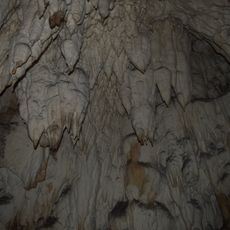
Ravništarka cave
16.1 km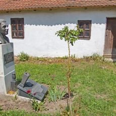
Maison natale de Jovan Šerbanović à Laznica
8.8 kmStrogi rezervat prirode Mustafa
17.1 kmVieille maison de Nenad Stojadinović à Milatovac
5.1 km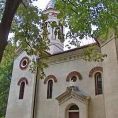
Église de la Sainte-Trinité de Žagubica
10.8 kmVieille maison de Zdravko Stojadinović à Jošanica
46 m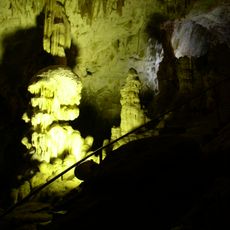
Ceremosnja Cave
13.4 kmPlaninica
14.7 kmBujnac
10.9 kmBliznaćko Brdo
13.8 kmGurnovica
18 kmDebeli Rt
5.4 kmDugi Rt
3.6 kmJasenovaćko Brdo
12.4 kmMustafina
13.8 kmKurmatura
14.9 kmUgar
16.3 kmKulmea Lu Mladen
16.9 kmKraku Šerponj
8.1 kmPoljana
1 kmVisited this place? Tap the stars to rate it and share your experience / photos with the community! Try now! You can cancel it anytime.
Discover hidden gems everywhere you go!
From secret cafés to breathtaking viewpoints, skip the crowded tourist spots and find places that match your style. Our app makes it easy with voice search, smart filtering, route optimization, and insider tips from travelers worldwide. Download now for the complete mobile experience.

A unique approach to discovering new places❞
— Le Figaro
All the places worth exploring❞
— France Info
A tailor-made excursion in just a few clicks❞
— 20 Minutes