Enable Location

We need your location to show you interesting places around you

Discover nearby places

Find interesting locations and hidden gems around you

Precise directions

Get accurate directions and distances to places

Your location is never shared with other users. It's only used when you tap the location button.

Sterlitamaksky District

Log in to your account

Start exploring — it's free

Trusted by 67,955 travelers worldwide

Continue with Google
Continue with Apple
or

We will send you a code to connect

By continuing, you accept our Terms and Conditions and our Privacy Policy

Check your inbox

We've sent a pincode in your inbox. Please enter the code below.

Sterlitamaksky District
Discussion Reviews 1 Photos
10.3k Popularity

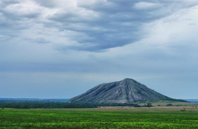
Sterlitamaksky District, Municipal district in Bashkortostan, Russia

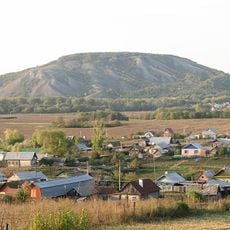
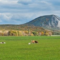
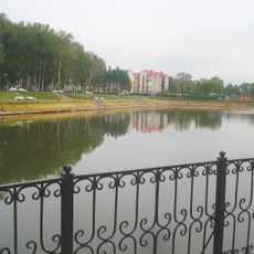
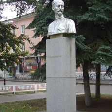
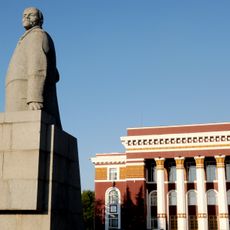
Sterlitamaksky District is a rural administrative area in the central part of Bashkortostan, a republic in Russia, made up entirely of villages and small settlements. The city of Sterlitamak sits just outside its borders and acts as the main urban hub for people living throughout the district.

The district was created in 1930 as part of Soviet administrative reforms that reorganized local governance across Bashkortostan. Its boundaries have gone through adjustments over the decades but the overall structure from that period has largely held.

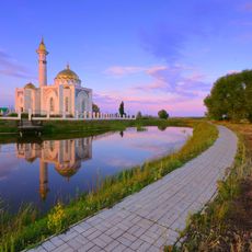
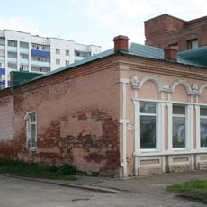
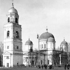
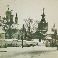
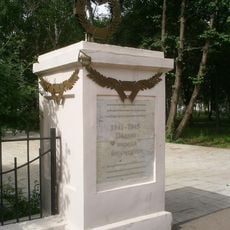
Bashkir, Tatar, and Russian communities share the rural villages of the district, each keeping its own traditions and celebrations visible in daily life. Small mosques and Orthodox churches stand side by side in some villages, reflecting the mix of faiths present in the area.

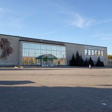
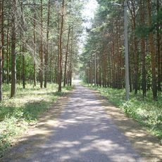
Traveling through the district is easiest with a personal vehicle since the villages are linked mainly by rural roads with limited public transport. Most services, including accommodation and shops, are found in the city of Sterlitamak just outside the district.

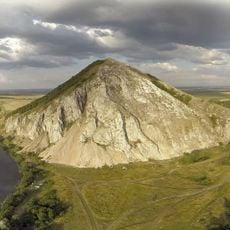
Despite being named after the city of Sterlitamak, the city itself does not fall within the district's borders. The name reflects proximity rather than inclusion, which can catch first-time visitors off guard when reading a map.

The community of curious travelers

AroundUs brings together thousands of curated places, local tips, and hidden gems, enriched daily by 60,000 contributors worldwide.

Start exploring
Location
Inception
August 20, 1930
Capital city
Sterlitamak
Shares border with
Alsheyevsky District, Aurgazinsky District, Gafuriysky District, Ishimbaysky District, Meleuzovsky District, Sterlibashevsky District, Miyakinsky District
GPS coordinates
53.63333,55.95000
Latest update
March 3, 2026 08:21
Around this place
Kushtau
Russian Federation

Kushtau

11.2 km
Trataw mountain
Russian Federation

Trataw mountain

13.1 km
Yuraktau
Russian Federation

Yuraktau

15.5 km
Sufiya Mosque, Kantyukovka
Russian Federation

Sufiya Mosque, Kantyukovka

21.2 km
Salavat State Bashkir Drama Theater
Russian Federation

Salavat State Bashkir Drama Theater

31.3 km
Babushka-tower, Ishimbay
Russian Federation

Babushka-tower, Ishimbay

20.9 km
Arena Sterlitamak
Russian Federation

Arena Sterlitamak

3.4 km
Park kultury i otdykha
Russian Federation

Park kultury i otdykha

30.3 km
Madrasah of Estärletamaq
Russian Federation

Madrasah of Estärletamaq

1.4 km
Sodovik Stadium
Russian Federation

Sodovik Stadium

2 km
Salavat Sports and Concert Complex
Russian Federation

Salavat Sports and Concert Complex

30.8 km
Салауат музыка колледжы
Russian Federation

Салауат музыка колледжы

31.1 km
Стерлитамакская государственная филармония
Russian Federation

Стерлитамакская государственная филармония

1.9 km
Neftekhimik Palace of Culture
Russian Federation

Neftekhimik Palace of Culture

30.3 km
Салаватская картинная галерея
Russian Federation

Салаватская картинная галерея

30.2 km
Church of the Theotokos of Kazan
Russian Federation

Church of the Theotokos of Kazan

1.7 km
Annunciation convent
Russian Federation

Annunciation convent

3.2 km
Салаватский историко-краеведческий музей
Russian Federation

Салаватский историко-краеведческий музей

29.7 km
Samolyot
Russian Federation

Samolyot

21.2 km
Kirov Palace of Culture
Russian Federation

Kirov Palace of Culture

21.2 km
Park Polyakova in Ishimbay
Russian Federation

Park Polyakova in Ishimbay

20.1 km
"Ozodlik" Sterlitamakdagi yodgorlik
Russian Federation

"Ozodlik" Sterlitamakdagi yodgorlik

2.3 km
Eňeü parkı
Russian Federation

Eňeü parkı

20.2 km
Neftyanik stadionu
Russian Federation

Neftyanik stadionu

21 km
Dzerzhinsky Bust
Russian Federation

Dzerzhinsky Bust

30.3 km
Statue of Lenin in Salavat
Russian Federation

Statue of Lenin in Salavat

30.3 km
Կենտրոնական քաղաքային գրադարան (Սալավատ)
Russian Federation

Կենտրոնական քաղաքային գրադարան (Սալավատ)

30.4 km
Stroitel Stadium
Russian Federation

Stroitel Stadium

30.1 km
Show the full map
Reviews
Share your experience

No review yet

Discussions
Start a discussion...

No discussion yet

« Sterlitamaksky District - Municipal district in Bashkortostan, Russia » is provided by Around Us (aroundus.com). Images and texts are derived from Wikimedia project under a Creative Commons license. You are allowed to copy, distribute, and modify copies of this page, under the conditions set by the license, as long as this note is clearly visible.

Discover hidden gems everywhere you go!

From secret cafés to breathtaking viewpoints, skip the crowded tourist spots and find places that match your style. Our app makes it easy with voice search, smart filtering, route optimization, and insider tips from travelers worldwide. Download now for the complete mobile experience.

Around Us App Screenshot

A unique approach to discovering new places

Le Figaro

All the places worth exploring

France Info

A tailor-made excursion in just a few clicks

20 Minutes

Around Us
Travel Guide & Maps
Download

Send to your phone

QR Code
1

Open the camera app on your mobile.

2

Point at the QR code with your camera. A notification will appear.

3

Tap the notification to open the link.