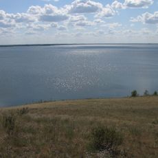
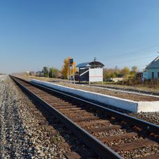
Canale di Kulunda, Irrigation canal in Altai Krai, Russia.
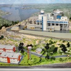
The Kulunda Canal is an irrigation system on the Ob Plateau in Altai Krai that distributes water across hundreds of kilometers to support farming. The system uses multiple pumping stations to move water across varying elevations and supply different agricultural areas.
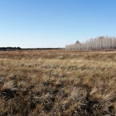
The canal was developed to make dry land in Altai suitable for farming and represented an important advancement in Soviet irrigation engineering. Its completion made it possible to systematically cultivate large areas of western Siberia for the first time.
The canal system influences local farming methods as communities along its route have developed specific agricultural practices based on water availability.
Visitors can see the canal at several access points along its route, particularly where pumping stations make water distribution visible. The best time to explore is during the irrigation season when water actively flows and farming activity is most intense.
The system must pump water against the natural slope of the land, which requires complex engineering to maintain even supply across the region. This feat of engineering shows how farming became possible in otherwise inhospitable terrain.
The community of curious travelers
AroundUs brings together thousands of curated places, local tips, and hidden gems, enriched daily by 60,000 contributors worldwide.