Kamchatka Peninsula, Volcanic peninsula in Far Eastern Russia
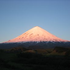
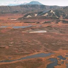
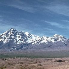
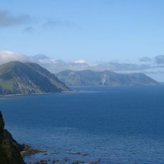
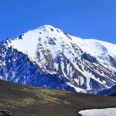
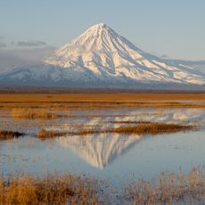
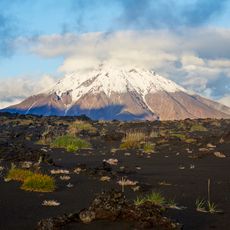
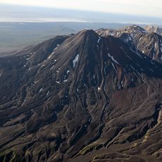
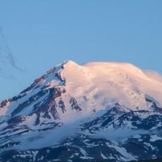
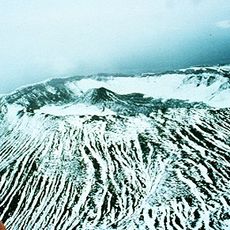
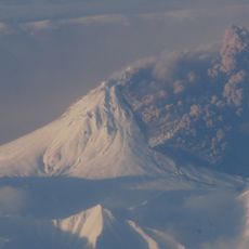
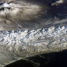
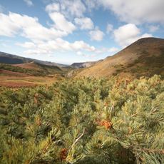
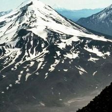
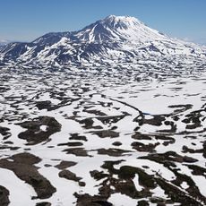
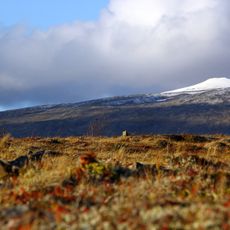
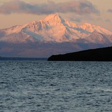
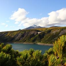
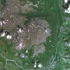
Kamchatka Peninsula is a region in Far Eastern Russia stretching between the Pacific Ocean and the Sea of Okhotsk, shaped by two mountain ranges running its length. The landscape features steep coastlines, river valleys, forests, and jagged peaks that create a wild and varied terrain throughout.
Russian explorer Vladimir Atlasov began documenting and mapping this peninsula in 1697, charting its volcanic terrain and establishing the first Russian presence there. His journeys laid the groundwork for later settlements and scientific exploration of the region.
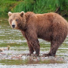
Indigenous Itelmen and Koryak peoples shape daily life here through fishing, hunting, and reindeer herding practices that remain central to many communities. Their settlements and seasonal camps dot the coastlines and valleys, visible reminders of how people have lived with the land for centuries.
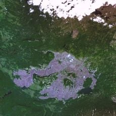
The main entry point is Petropavlovsk-Kamchatsky, which can be reached by regional flights from other major cities. Most travel within the region requires air transport or specialized vehicles, as road networks are limited and many routes are only passable during warmer months.
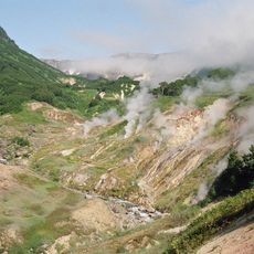
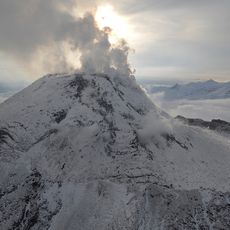
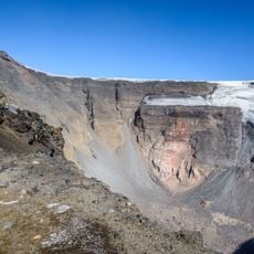
The Valley of Geysers contains one of the world's largest concentrations of geothermal activity, with roughly 90 geysers clustered together in one area. A natural disaster in 2007 altered parts of this remarkable thermal landscape, yet it remains an exceptional display of Earth's geothermal power.
The community of curious travelers
AroundUs brings together thousands of curated places, local tips, and hidden gems, enriched daily by 60,000 contributors worldwide.