
Харьковський, human settlement in Alexandrovsky District, Stavropol Krai, Russia
Location: Аляксандраўскі сельсавет
GPS coordinates: 44.80000,43.13333
Latest update: April 10, 2025 22:27

Beshtau
78.6 km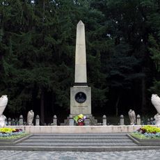
The place of Lermontov's duel
82.6 km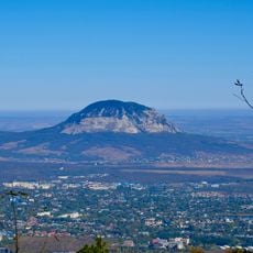
Gora Zmeyka
70.5 km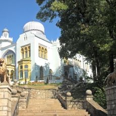
Emir of Bukhara House
74.5 km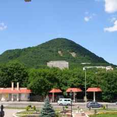
Zheleznaya Mount
74 km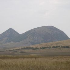
Verblyud
69.8 km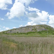
Kinzhal
59.6 km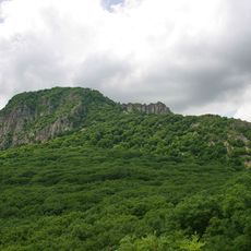
Gora Razvalka
72.4 km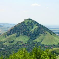
Gora Sheludivaya
79.5 km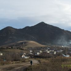
Byk
69.9 km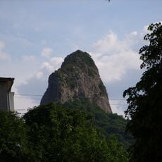
Medovaya
74.7 km
Bryk
48.9 km
Lysaya
78.4 km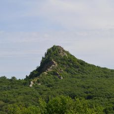
Ostraya
76.6 km
Kutsay Mountain
63.4 km
Mount Kokurtly
58 km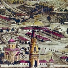
Mamay-Majarian monastery
81 km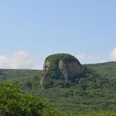
Kabanka
75.9 km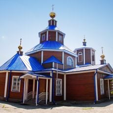
Saint Nicholas Church, Georgievsk
78.1 km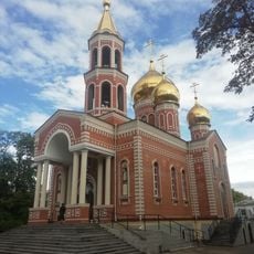
Church of the Annunciation
65.3 km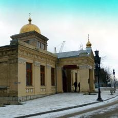
Церковь Покрова Пресвятой Богородицы (Железноводск)
74.6 km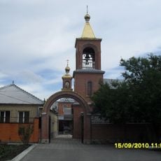
Церковь Святого Николая Чудотворца (Минеральные Воды)
65.6 km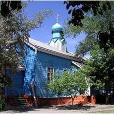
Церковь Казанской иконы Божией Матери (Будённовск)
82.2 km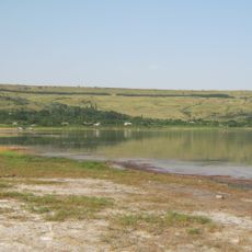
Solyonoe Lake
57 km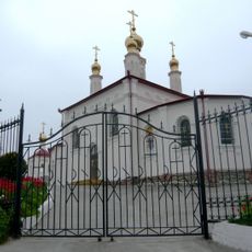
Церковь равноапостольной княгини Ольги (Железноводск)
73.6 km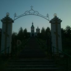
Храм Апостолов Петра и Павла (Светлоград)
63.4 km
Stavropol stud
24.3 km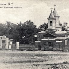
Surb Poghos-Petros Armenian church in Georgievsk
73.8 kmReviews
Visited this place? Tap the stars to rate it and share your experience / photos with the community! Try now! You can cancel it anytime.
Discover hidden gems everywhere you go!
From secret cafés to breathtaking viewpoints, skip the crowded tourist spots and find places that match your style. Our app makes it easy with voice search, smart filtering, route optimization, and insider tips from travelers worldwide. Download now for the complete mobile experience.

A unique approach to discovering new places❞
— Le Figaro
All the places worth exploring❞
— France Info
A tailor-made excursion in just a few clicks❞
— 20 Minutes