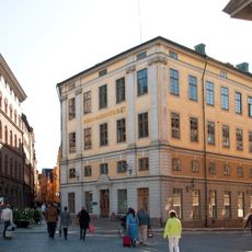
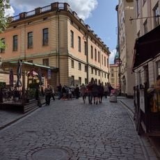
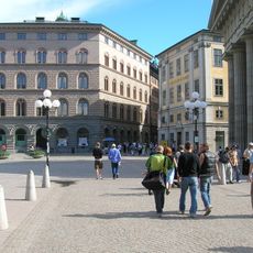
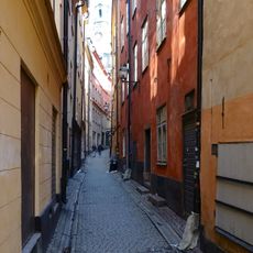
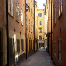
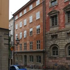
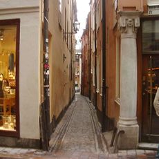
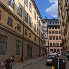
Storkyrkobrinken, Pedestrian street in Gamla Stan, Sweden
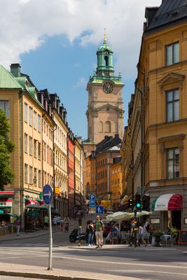
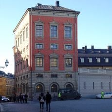
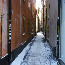
Storkyrkobrinken is a pedestrian zone in Gamla Stan that descends from Högvaktsterrassen near the Royal Palace down to Myntgatan and Riddarhustorget. Along its route, it intersects with Trångsund, Prästgatan, and Västerlånggatan, creating a network of walkable streets separated from vehicle traffic.
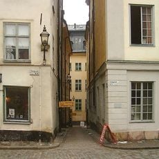
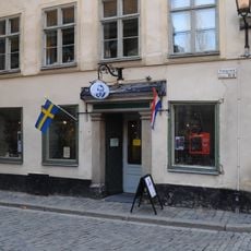
In 1422, this route functioned as a gateway called Sancte Nicolauese Port, where merchants would pay respect to a statue of Saint Nicholas before embarking on sea voyages. The street received its current name Storkyrkobrinken in 1771, following earlier periods when it was known by different designations.
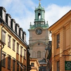
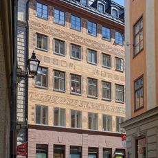
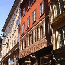
The street takes its name from the nearby Storkyrkan Cathedral, showing how religious sites shaped the development of this old quarter. Walking down the slope today, visitors notice the cathedral rising between historic buildings, creating a visual connection to its religious past.
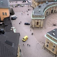
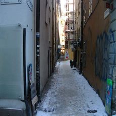
The zone is completely accessible to pedestrians without worrying about vehicle traffic or stepping aside for cars. The sloped surface can become slippery during winter months, so appropriate footwear is advisable when visiting the area.
During the Swedish Empire era in 1637, the street temporarily carried the name Slottsgatan before receiving its present designation. This name change reflects the political shifts and administrative changes that reshaped the city during that era.
The community of curious travelers
AroundUs brings together thousands of curated places, local tips, and hidden gems, enriched daily by 60,000 contributors worldwide.