
Smolejevo znamenje, Srednji Vrh, znamenje v Občini Kranjska Gora
Location: Municipality of Kranjska Gora
GPS coordinates: 46.49003,13.83290
Latest update: March 14, 2025 03:40
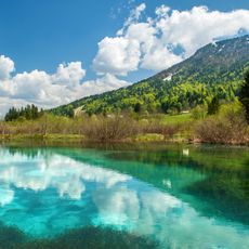
Zelenci
7.3 km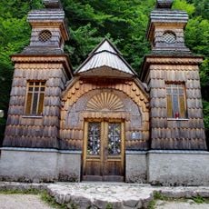
Russian Chapel
7.3 km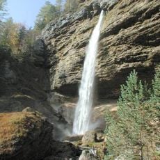
Peričnik Falls
7.3 km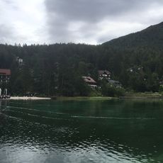
Lake Jasna
4.1 km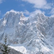
Škrlatica
6.4 km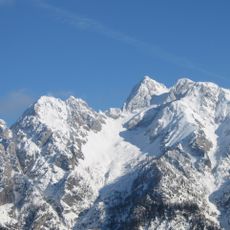
Špik
4.8 km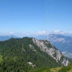
Mallestiger Mittagskogel
5.3 km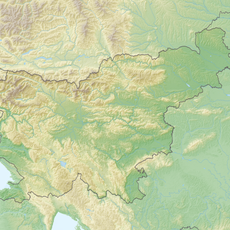
Techantinger Mittagskogel
3.5 km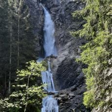
Spodnji Martuljkov slap
2 km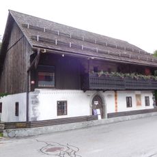
Liznjek Farm
3.5 km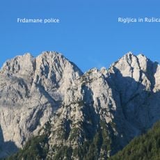
Frdamane police
4.6 km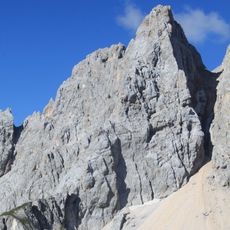
Srednji Rokav
6.3 km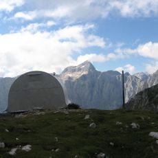
Bivouac II at Jezera
6.3 km
Kukova špica
5 km
Velika Ponca
5.4 km
Visoki Kurji vrh
4.3 km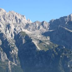
Dovški križ
5.5 km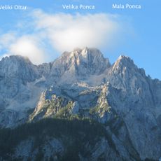
Mala Ponca
5.3 km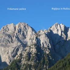
Rušica
4.1 km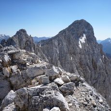
Veliki Oltar
5.7 km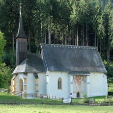
Wallfahrtskirche Maria Siebenbrünn (Radendorf)
6.6 km
Filialkirche hl. Agnes, Korpitsch
6 km
Filialkirche hl. Stefan, Goritschach
7.3 km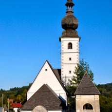
Kath. Filialkirche hl. Job und Friedhof
6.7 km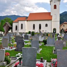
Pfarrkirche Sankt Leonhard bei Siebenbrünn
7.1 km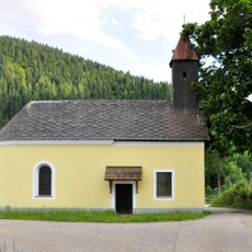
Wegkapelle Maria Hilf, Krainberg
7.5 km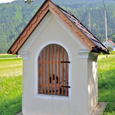
Wegkapelle
7.5 km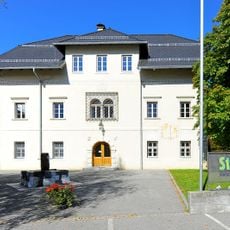
Schule, Stiegerhof, Nagersch(n)igghof, ehem. Schloss
7.5 kmReviews
Visited this place? Tap the stars to rate it and share your experience / photos with the community! Try now! You can cancel it anytime.
Discover hidden gems everywhere you go!
From secret cafés to breathtaking viewpoints, skip the crowded tourist spots and find places that match your style. Our app makes it easy with voice search, smart filtering, route optimization, and insider tips from travelers worldwide. Download now for the complete mobile experience.

A unique approach to discovering new places❞
— Le Figaro
All the places worth exploring❞
— France Info
A tailor-made excursion in just a few clicks❞
— 20 Minutes